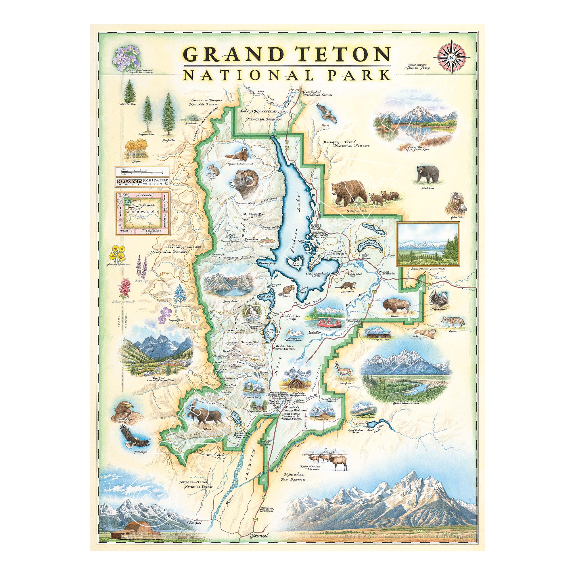
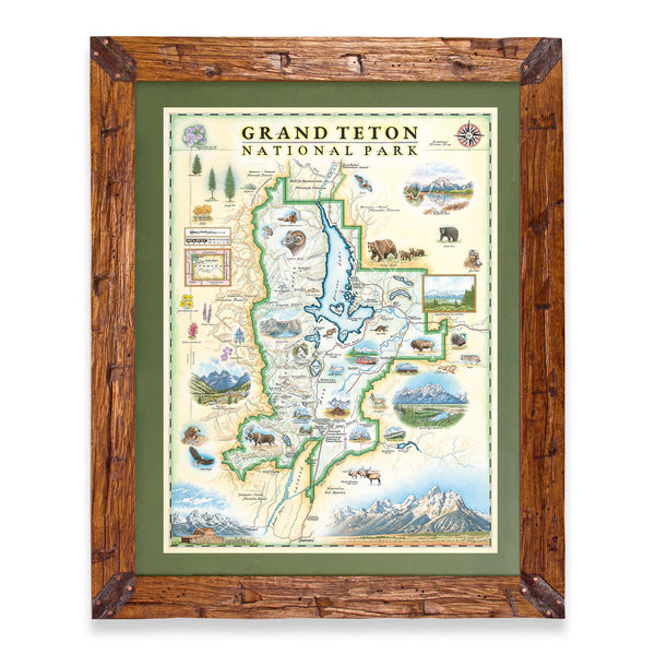
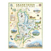
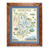
Original hand-drawn pen and ink/watercolor story map of Grand Teton National Park located in northwest Wyoming close to the Idaho border, encompassing the 40 mile stretch known as the Teton Range, a subrange of the Rocky Mountains. The park follows the same path of the mountains as they extend north and south starting at the border of the John D. Rockefeller Memorial Parkway, which barely separates Grand Teton National Park from Yellowstone National Park just north of the two.
Visitors tend to enjoy exploring the east side of the park as it gives the most stunning view when looking west toward the mountainous side of the park which highlights the view of the major peaks of the range grouped together when referred to as the, “Cathedral Group.” These major peaks include: Grand Teton Peak, Teewinot Mountain and Mount Owen. Unparalleled views of these mountains can be seen from an even closer view by hiking the Cascade Canyon Trail which circles around not only the base of these peaks but also leads hikers to the shores of Jenny Lake, just northeast of the peaks. While looping around Jenny Lake, hikers can also marvel at the beauty of natural wonders such as Hidden Falls. Not only can the grandeur of the mountains be noted at face value, but the lake acts as a clear mirror reflecting the towering peaks right at their base. In addition to the backcountry views of the mountains found while hiking, all visitors have the opportunity to experience the splendor of their view along the Teton Park Road which starts at the northern end of the park, winds its way south and around the east side of Jackson Lake and passes right along the eastern side and base of the mountains before continuing south and exiting the park toward the city, Jackson, Wyoming.
This famous Snake River, known for world class rafting, flows through the park entering at the southernmost point before flowing north into Jackson Lake, and eventually through the Pacific Northwest before draining into the Pacific Ocean. This section stuns visitors with the combined view of the Oxbow Bend Turnout at the base of Signal Mountain, equally impressive to the lower section of the range. Other impressive natural landmark sites that attract visitors to the park include: the various alpine lakes (Two Ocean Lake, Emma Matilda Lake, Leigh Lake, String Lake, Phelps Lake, etc.) as well as the surrounding national forest and wilderness areas such as the Bridger-Teton National Forest, Caribous-Targhee National Forest and the Jedediah Smith Wilderness.
The park is home to a variety of historic sites and retreat locations for visitors to experience including: the Colter Bay Village, Jackson Lake Lodge, Jenny Lake Lodge, Cunningham Cabin, Mormon Row, the Maud Noble Cabin, Menor’s Ferry, Chapel of Transfiguration and more. Along with the homage this map pays to the locations and sites that mark the influence of history on the area, this map also includes a symbol of the historical, outdoor enthusiast, John Colter, who was part of the Lewis and Clark Expedition.
To add to an already spectacular environment and region, the flora and fauna of the park make any experience at Grand Teton National Park seem even more magical. The park is home to a wide array of species including: grizzly bears, moose, bighorn sheep, eagles, marmot, beavers, bison, pronghorn, elk, coyotes, river otters, osprey and black bears.
With adventure in every direction, you can find about every shade of the rainbow in the park from hues of green and gold of the various trees and plants such as: whitebark pine, lodgepole pine, aspen, Douglas fir, sagebrush. Native wildflowers catch visitors’ eyes in their vibrant shades from yellow arrowleaf balsamroot, purple lupine and longleaf phlox, rich red Indian paintbrush, blue camas and more.
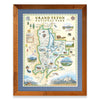
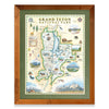
The lithograph print by Chris Robitaille of Xplorer Maps is 18’’ wide by 24’’ tall.
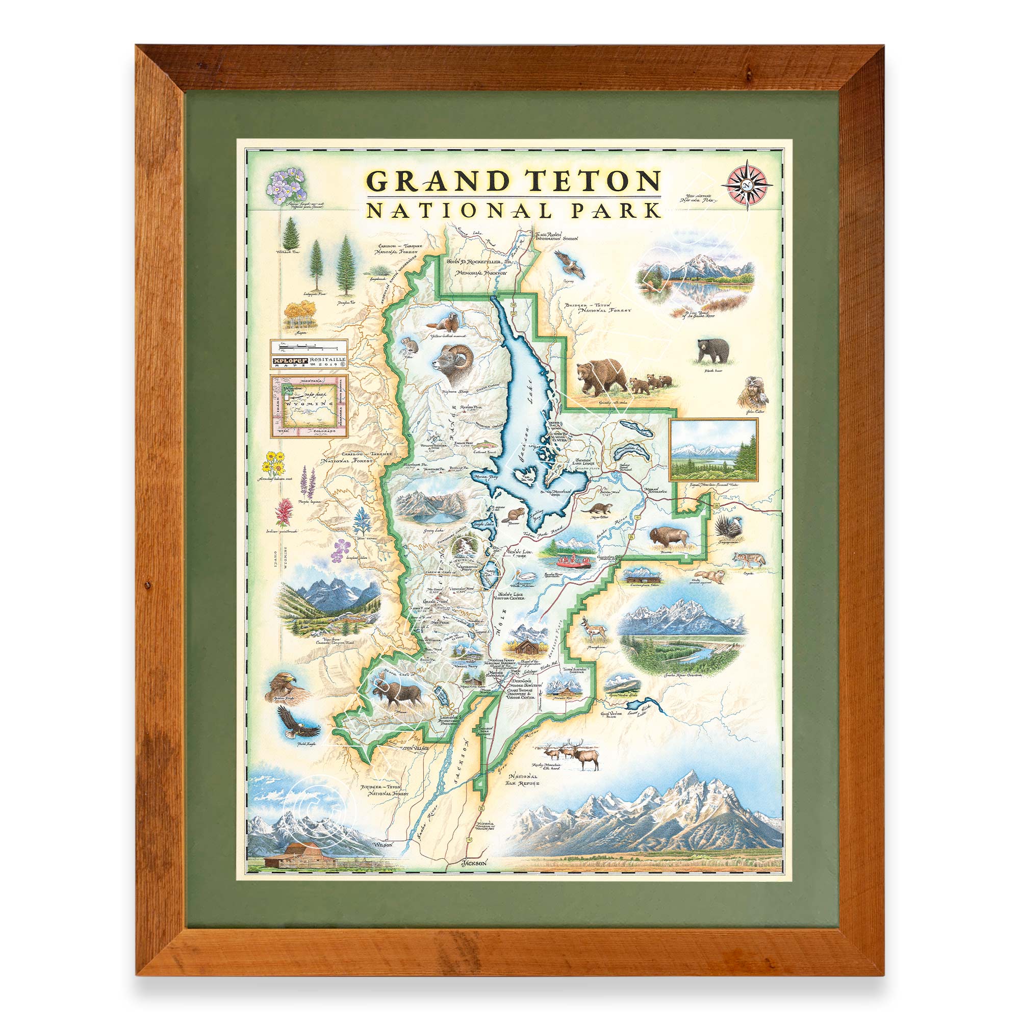
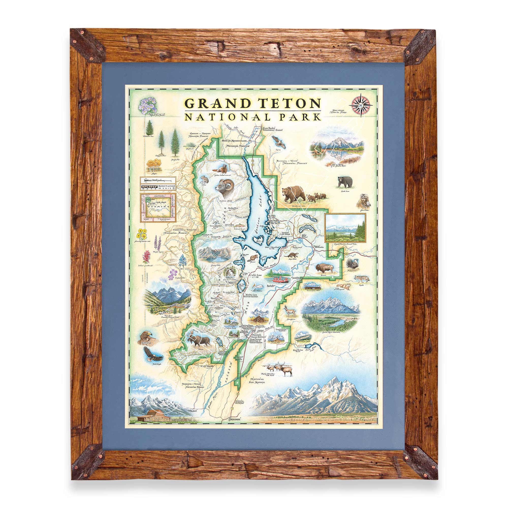
Are you looking for a custom matted and framed piece? Pick from Montana hand-scraped pine or reclaimed Flathead Lake larch. In addition, you can choose between green or blue mats.
* The framed map is for retail purchase only. Xplorer Maps does not offer wholesale pricing on framed maps.
Montana's Flathead Lake larch Frame - 10%of the larch logs originally intended as railroad ties for the Great Northern Railroad sunk to the bottom of Flathead Lake, MT. These over 100-year-old logs have been dive-located, dredged, dried, cured, planed, scraped, sawn, sanded, and shaped into reclaimed heritage wood frames exclusively for Xplorer Maps.
Hand-Scraped Montana Pine - Montana forest-harvested pine frame. For that rustic look, each frame is hand-scraped.
All frames are equipped with conservation clear glass, which is guaranteed to block 99% of ultraviolet rays. Upgrade to Museum glass, which ensures 99% UV protection but also provides ZERO GLARE - this is the quality glass you would find in gallery settings.