


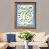
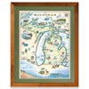
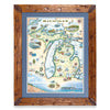
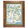
Double click image to zoom in


Click image to open expanded view
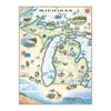
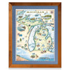
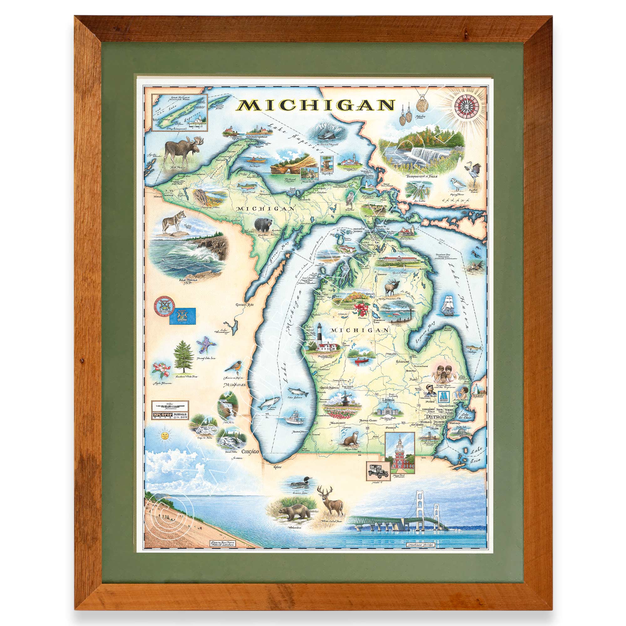
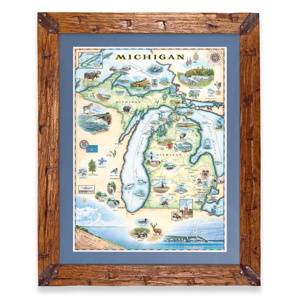
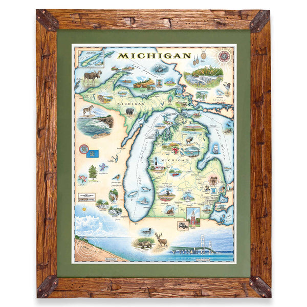
Original hand-drawn pen and ink/watercolor story map highlighting Michigan and the surrounding Great Lakes as well as major cities, landmark and historic sites as well as diverse plants and wildlife.
Found within the north midwest United States in the designated Great Lakes region, this map showcases the unique physical landscape of Michigan as being truly unique as the only state in the region to share borders with four of the five Great Lakes including: Lake Superior, Lake Michigan, Lake Huron and Lake Erie. Unlike other states, Michigan is broken up into two land sections as shown on the map featuring the Upper Peninsula and the Lower Peninsula. These two peninsulas are connected at the northernmost point of the Lower Peninsula at the famous Mackinac Bridge at the Mackinac Straits where Lake Michigan and Lake Huron meet.
While being located at the northern border of the United States, but also having 3,288 miles of coastline on the Great Lakes, Michigan is home to a variety of ecosystems from coastal dunes to forests, woodlands and grasslands. The biodiversity in habitat is shown in the unparalleled natural landmarks and wildlife celebrated on the map such as: Isle Royale National Park, Sleeping Bear Dunes National Lakeshore, Houghton Lake, Porcupine Mountains, Soo Locks, Tahquamenon Falls, Sable Falls, Ocqueoc Falls, Bond Falls, Pictured Rocks, Traverse Bay and more. Spread across these land and aquatic environments are a wide array of species that make the region so unique. Species included are: wolverines, black bears, timber wolves, bull moose, Rocky Mountain elk, river otters, wolverines, white-tailed deer, common loons, piping plovers, sandhill crane, great gray owl, American robin, and more. The more temperate, humid climate of Michigan also creates an environment for varying plants to thrive such as dwarf lake iris, apple blossoms, cherries, white pines as well as the tulips of the famous tulip festival held in Holland, Michigan each year mesmerizing tourists and locals alike with their vibrantly coordinated rows of stunning tulips.
In addition to the natural environment of the region captivating people from the Upper Peninsula to the Lower Peninsula, various urban locations and sites stand out as well including: Copper Harbor Lighthouse, Whitefish Point Lighthouse, Great Lake Shipwreck Museum, Point Iroquois Lighthouse, Old Mackinac Point Lighthouse, Grand Hotel, Big Sable Point Lighthouse, Michigan State Capitol, Henry Ford Museum, and Ambassador Bridge.
Major cities found on the map include: Milwaukee, Chicago, Lansing, Flint, and Detroit, the birthplace of Motown with famous stars such as Aretha Franklin, Stevie Wonder, and Diana Ross and the Supremes.
The lithograph print by Chris Robitaille of Xplorer Maps is 18’’ wide by 24’’ tall.
* The framed map is for retail purchase only. Xplorer Maps does not offer wholesale pricing on framed maps.
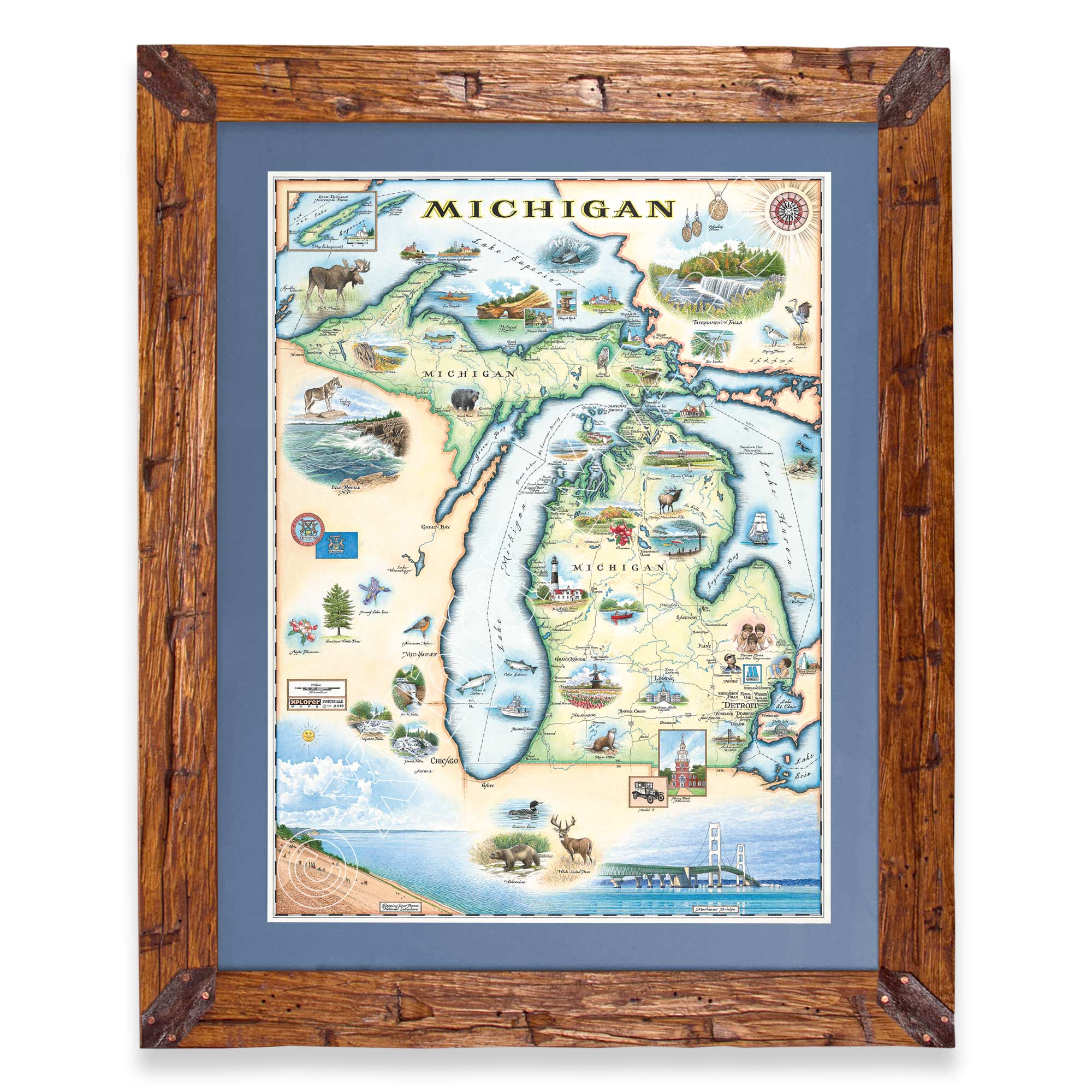
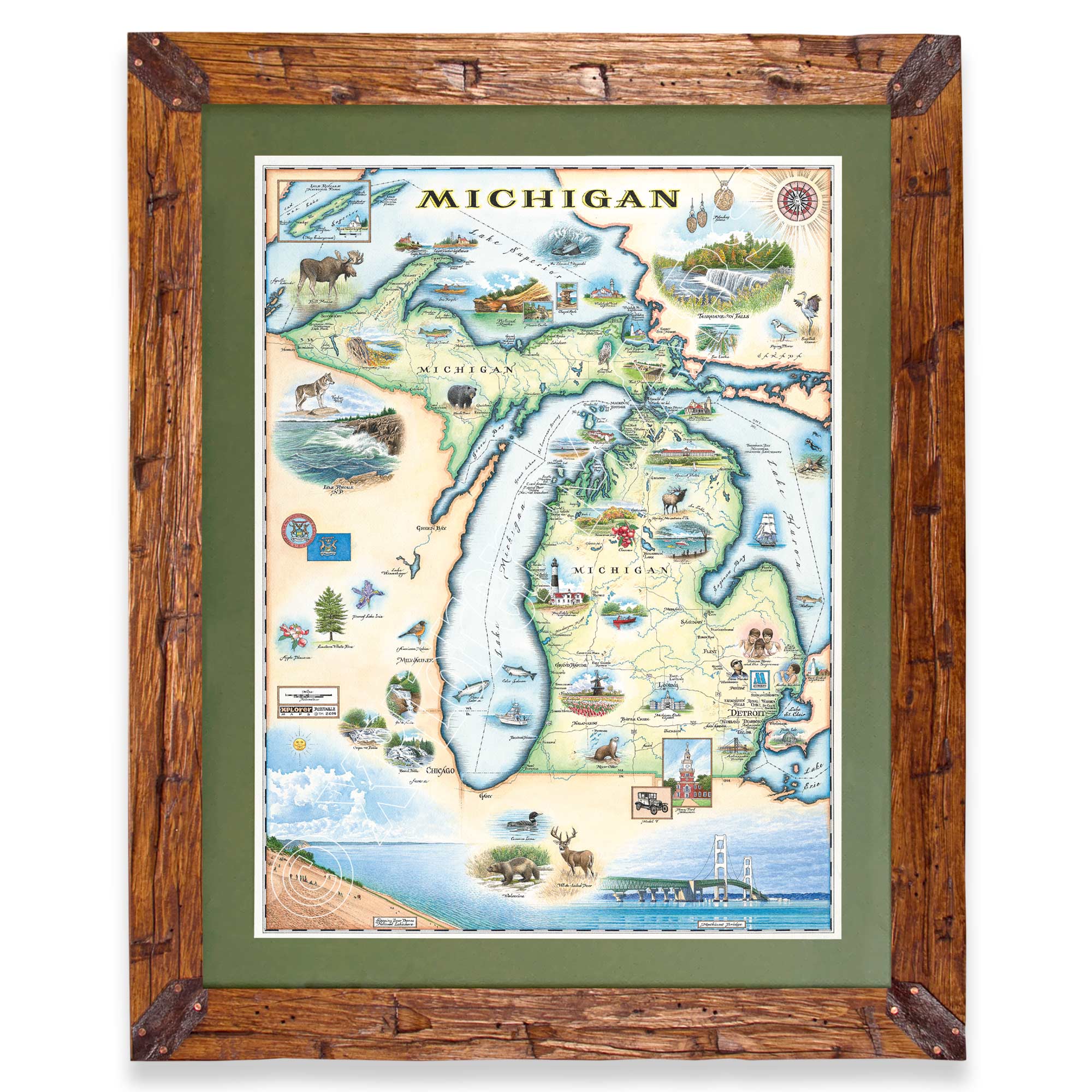
Montana's Flathead Lake larch Frame - 10%of the larch logs originally intended as railroad ties for the Great Northern Railroad sunk to the bottom of Flathead Lake, MT. These over 100-year-old logs have been dive-located, dredged, dried, cured, planed, scraped, sawn, sanded, and shaped into reclaimed heritage wood frames exclusively for Xplorer Maps.
Hand-Scraped Montana Pine - Montana forest-harvested pine frame. For that rustic look, each frame is hand-scraped.
All frames are equipped with conservation clear glass, which is guaranteed to block 99% of ultraviolet rays. Upgrade to Museum glass, which ensures 99% UV protection but also provides ZERO GLARE - this is the quality glass you would find in gallery settings.
Our on-line store is open 24/7 and we ship Monday through Friday, excluding some holidays. Orders received for products without shipping restrictions on its product page will ship the same business day when received before 12:00 p.m. PST. Orders in high demand will have an estimated production time listed on its product page and will ship according to the date listed.
The Xplorer Maps Warehouse Team strives to ship every order within 1 business day.
For custom orders (including framing), please allow 3-4 weeks for shipping.
Xplorer Maps ships all over the world, but prices and shipping times vary according to state, country, and the weight of items purchased. International recipients are solely responsible for any fees such as, but not limited to, VAT or import duties.
All prices will be charged according to your destination at check-out. This information is shown before your credit card is charged and you can click on the "calculate shipping charges" once an item has been placed in the cart to see the exact shipping based on your zip code.
We ship with UPS and USPS. Expedited shipping options are available at checkout.
Please be aware that despite our prompt shipping, factors beyond our control may occasionally lead to delays in the arrival of your order. For additional questions regarding shipping please email us at: warehouse@xplorermaps.com
Email: Info@xplorermaps.com
Brick-and-Mortar Address: 1245 S 3rd ST W; Missoula, MT 59801
Phone: 406-546-4972
Warehouse Address: 500 S Inez ST; Missoula MT 59801
© 2024, Xplorer Maps


