


Double click image to zoom in


Click image to open expanded view
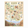

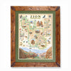
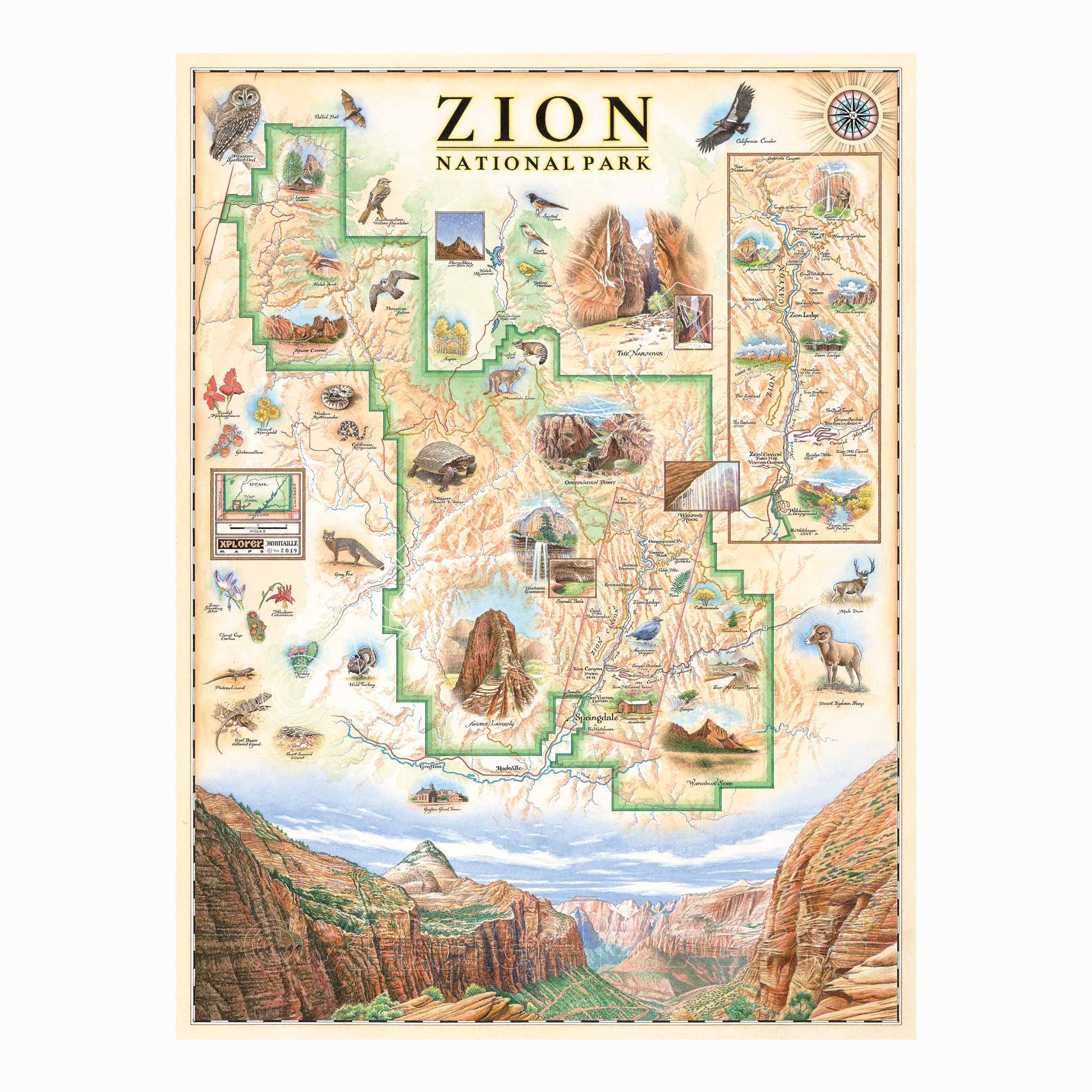
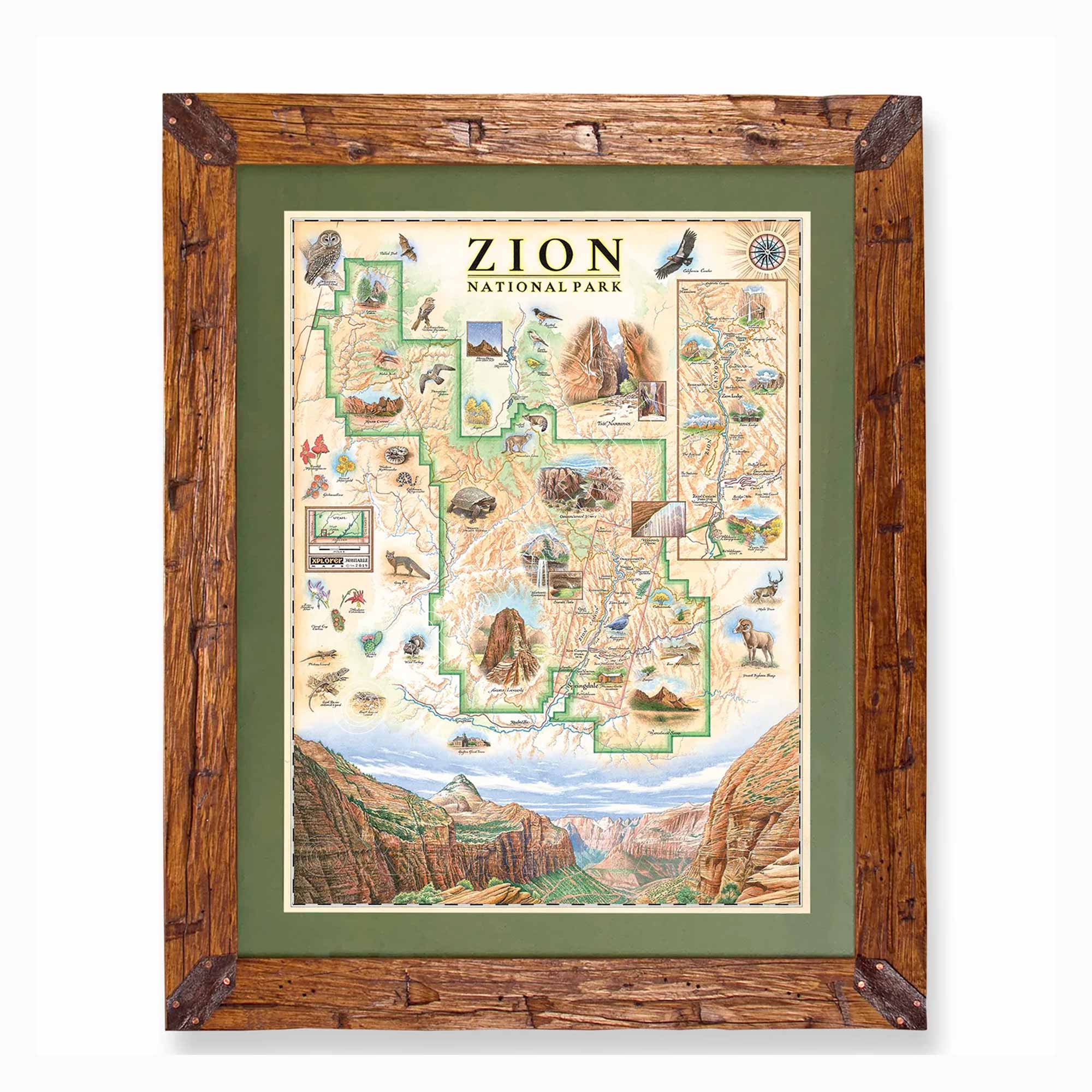
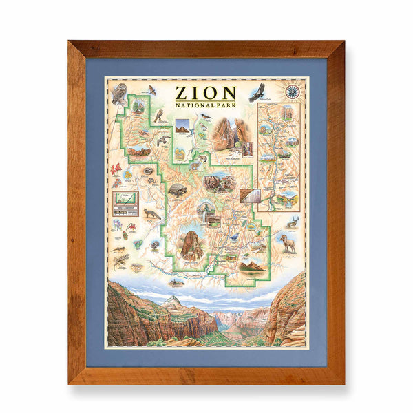
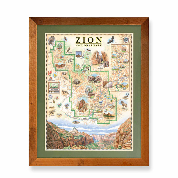
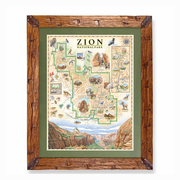
Original hand-drawn pen and ink/watercolor story map of Zion National Park located in the southwest region of Utah showcasing the mesmerizing desert canyon marked by rich red cliffs, tunnels, and unique rock formations.
This map highlights the park as well as the abundance of biodiversity found around and within the park as well as magnifies the most visited section of the park near the major city of Springdale, Zion Canyon. With a variety of landmark sites to see throughout the entire park, Zion Canyon in the southeast corner of the park is the most visited section of the park. Due to the steeper decline of the Colorado Plateau at the location of the canyon, the North Fork Virgin River moved at a faster pace than most rivers and carved out Zion Canyon leaving true geologic gems in its path. Major sites within the canyon include: the Narrows (a stretch of high red rock walls in the narrowest section of the canyon), Observation Point (a stop in the northern section of the canyon with extraordinary views), Weeping Rock (a rock formation with continuous water flow that creates the look of a weeping rock as well as creates lush plant growth), Hanging Gardens (groups of plants found growing on the vertical faces of steep cliff sides as if they are hanging supplied by precious desert springs), Angel’s Landing (a uniquely tall and steep rock formation famous for its dangerous trail barely wide enough for one person), Emerald Pools, Zion Lodge, Court of the Patriarchs, as well as the Great Arch, another impressive rock formation near the South Entrance of the Canyon. While all of the major features are packed within the main canyon, other sites outside of the canyon include: Larson Cabin, Kolob Arch, and Kolob Canyon in the north as well as Watchman Spire and Zion-Mt. Carmel Tunnel in the southeast corner of the state.
The diversity of ecosystems found in Zion including high desert plateaus, deep canyons, riparian zones along the rivers, and forested areas creates the high biodiversity seen in the park and celebrated on the map. Visitors can enjoy spotting animals such as: gray foxes, desert bighorn sheep, wild turkeys, green-basin collared lizards, plateau lizards, mojave desert tortoise, mountain lions, ringtail cats, peregrine falcons, California condors, Mexican Spotted Owls, California and Western rattlesnakes and more. Matching the same vibrance of the red cliff walls, the wildflowers and trees of the park and canyon catch the eyes of visitors including: Zion Shooting Stars, Western Columbines, Claret Cup cacti, Prickly Pear cacti, Scarlet Monkeyflowers, Desert Marigolds, Globenmallows, golden Aspen trees and cottonwoods.
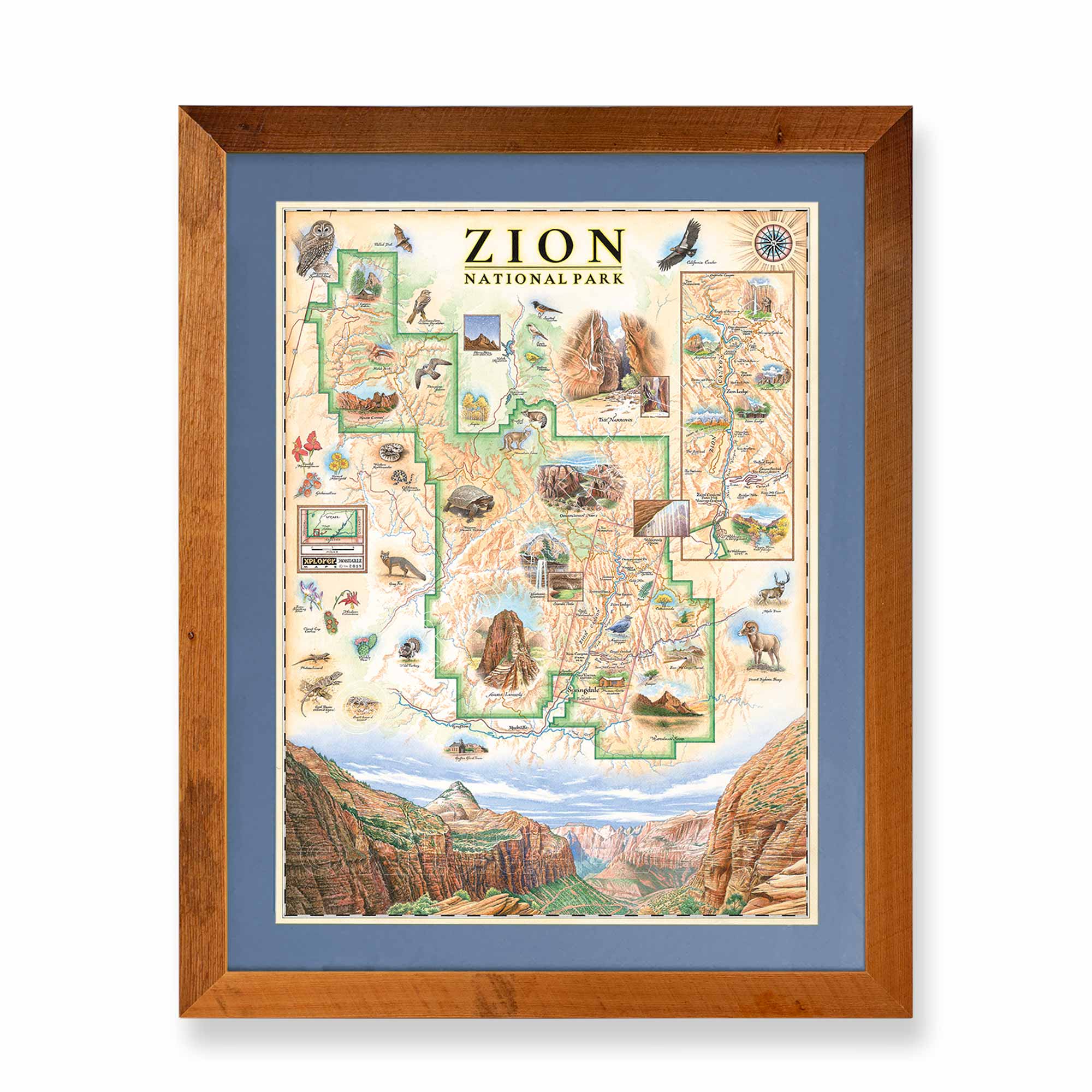
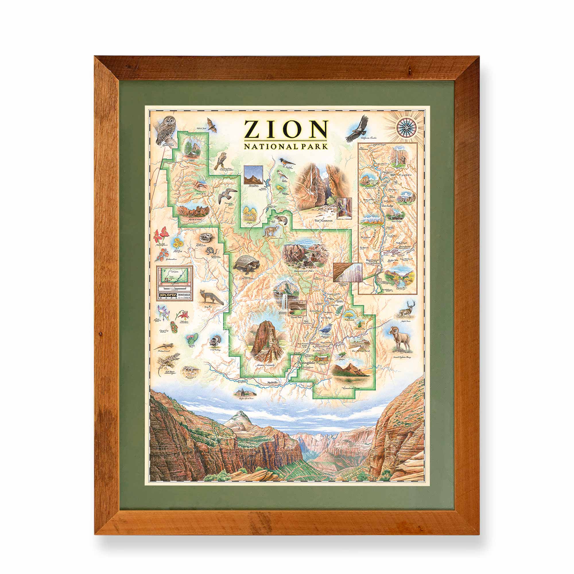
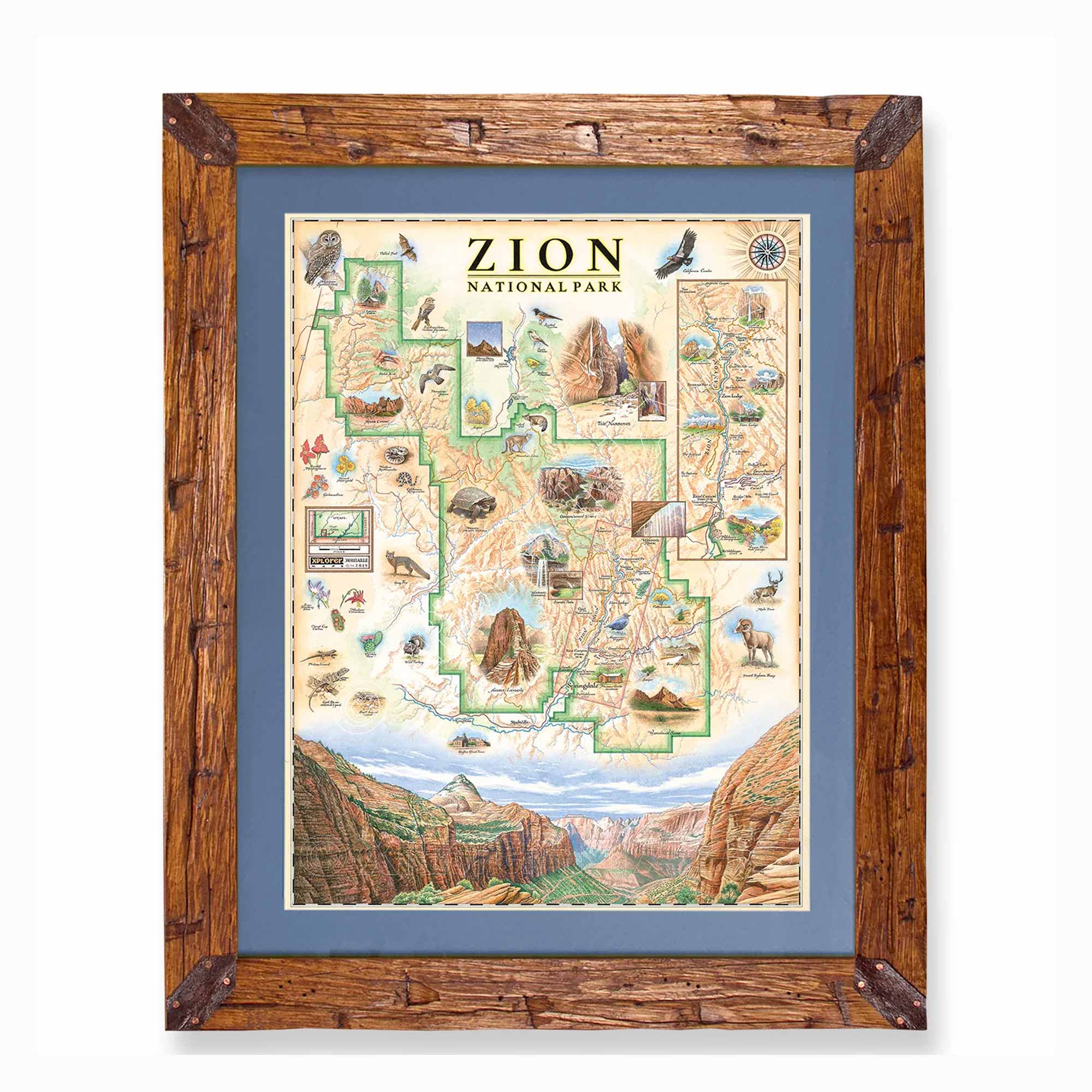
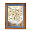
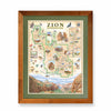
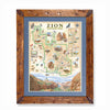
The lithograph print by Chris Robitaille of Xplorer Maps is 18’’ wide by 24’’ tall.
* The framed map is for retail purchase only. Xplorer Maps does not offer wholesale pricing on framed maps.
Montana's Flathead Lake larch Frame - 10%of the larch logs originally intended as railroad ties for the Great Northern Railroad sunk to the bottom of Flathead Lake, MT. These over 100-year-old logs have been dive-located, dredged, dried, cured, planed, scraped, sawn, sanded, and shaped into reclaimed heritage wood frames exclusively for Xplorer Maps.
Hand-Scraped Montana Pine - Montana forest-harvested pine frame. For that rustic look, each frame is hand-scraped.
All frames are equipped with conservation clear glass, which is guaranteed to block 99% of ultraviolet rays. Upgrade to Museum glass, which ensures 99% UV protection but also provides ZERO GLARE - this is the quality glass you would find in gallery settings.
Our on-line store is open 24/7 and we ship Monday through Friday, excluding some holidays. Orders received for products without shipping restrictions on its product page will ship the same business day when received before 12:00 p.m. PST. Orders in high demand will have an estimated production time listed on its product page and will ship according to the date listed.
The Xplorer Maps Warehouse Team strives to ship every order within 1 business day.
For custom orders (including framing), please allow 3-4 weeks for shipping.
Xplorer Maps ships all over the world, but prices and shipping times vary according to state, country, and the weight of items purchased. International recipients are solely responsible for any fees such as, but not limited to, VAT or import duties.
All prices will be charged according to your destination at check-out. This information is shown before your credit card is charged and you can click on the "calculate shipping charges" once an item has been placed in the cart to see the exact shipping based on your zip code.
We ship with UPS and USPS. Expedited shipping options are available at checkout.
Please be aware that despite our prompt shipping, factors beyond our control may occasionally lead to delays in the arrival of your order. For additional questions regarding shipping please email us at: warehouse@xplorermaps.com
Email: Info@xplorermaps.com
Brick-and-Mortar Address: 1245 S 3rd ST W; Missoula, MT 59801
Phone: 406-546-4972
Warehouse Address: 500 S Inez ST; Missoula MT 59801
© 2024, Xplorer Maps


