


Double click image to zoom in


Click image to open expanded view


Total 5 star reviews: 2 Total 4 star reviews: 0 Total 3 star reviews: 0 Total 2 star reviews: 0 Total 1 star reviews: 0
100%would recommend this product
2 reviews
- SSStacey S.Verified BuyerRated 5 out of 5 stars2 months agoBeautiful
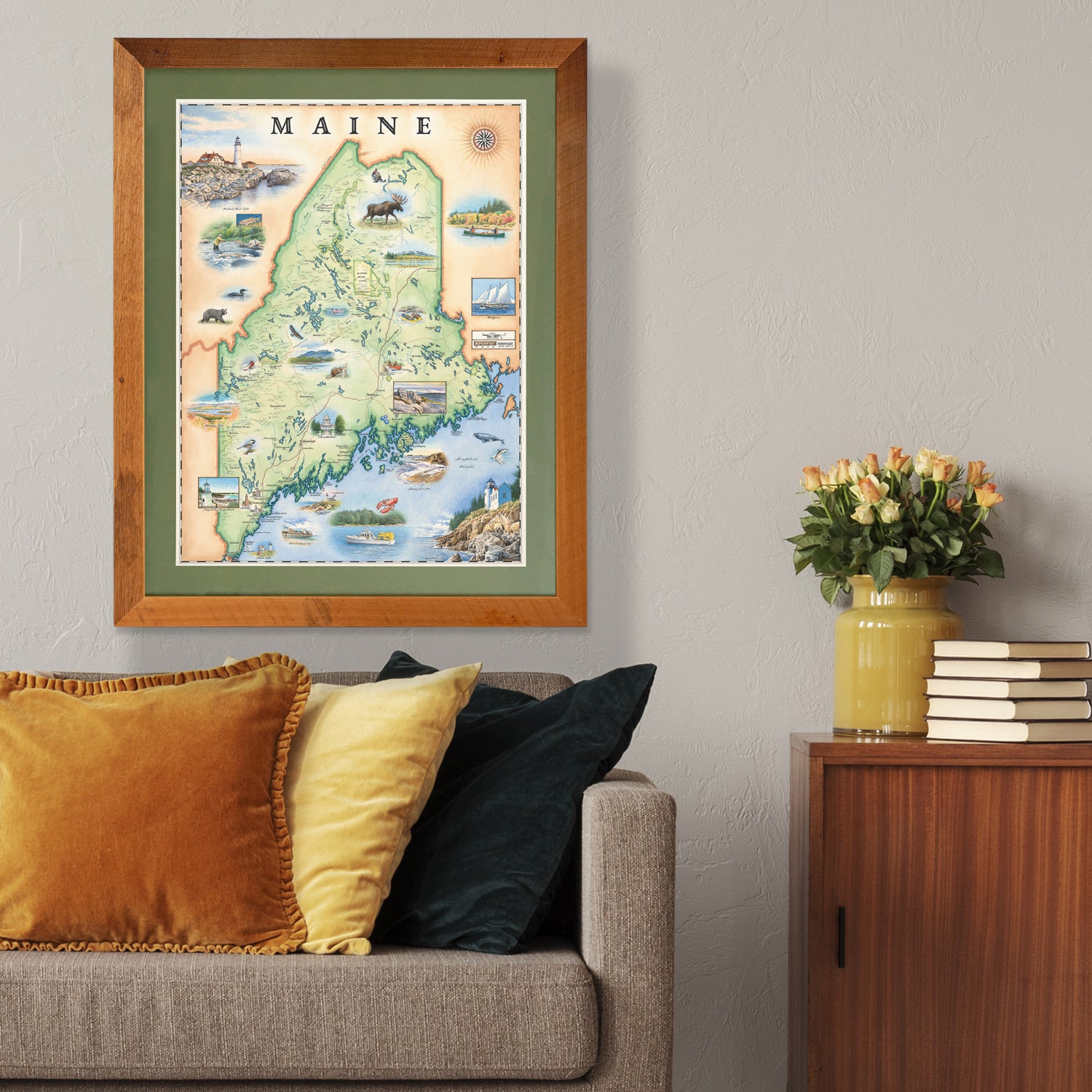
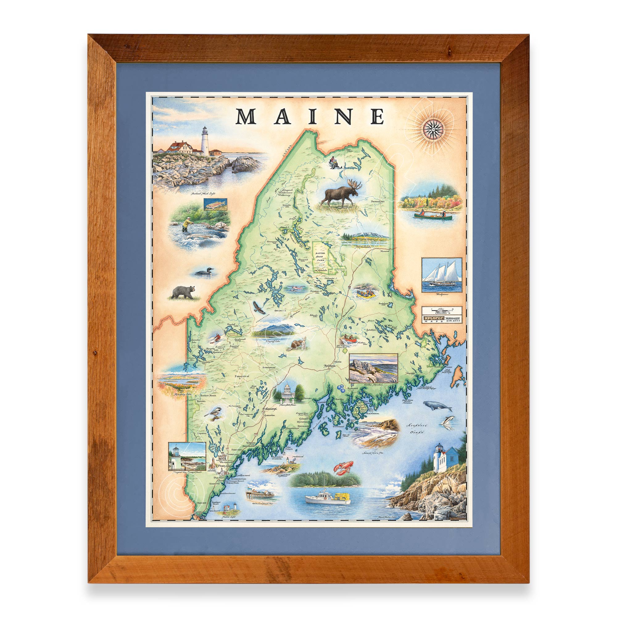
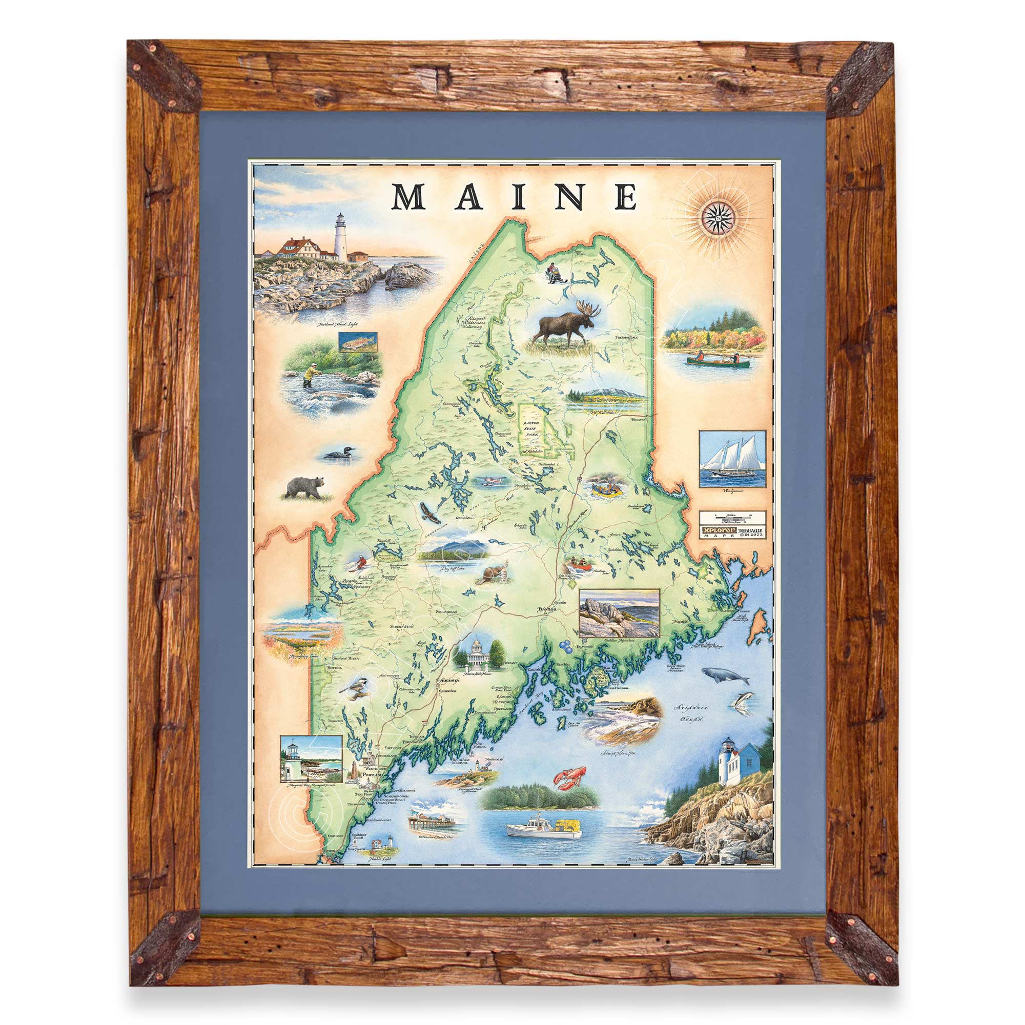
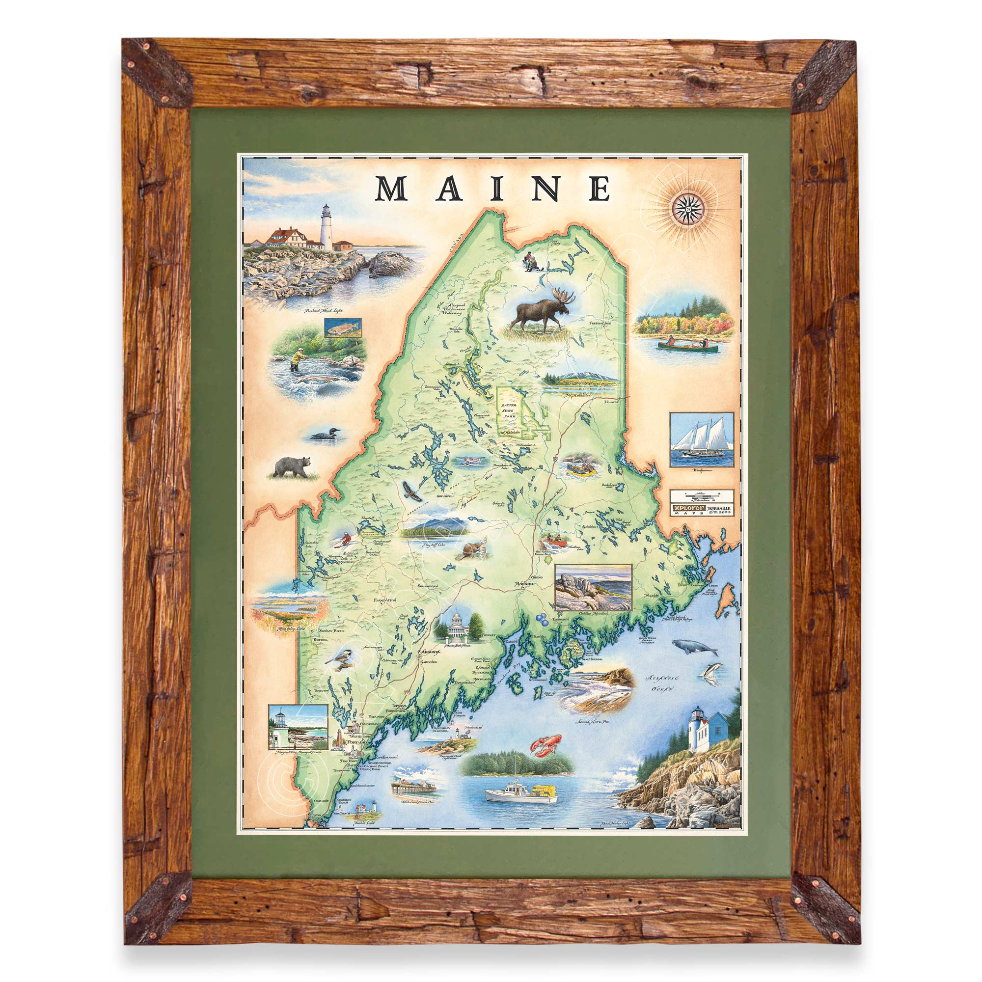
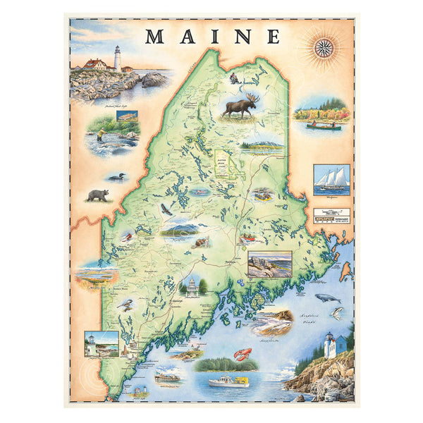
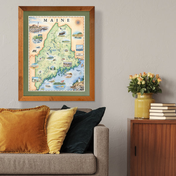
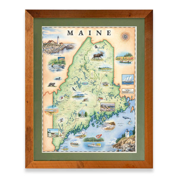
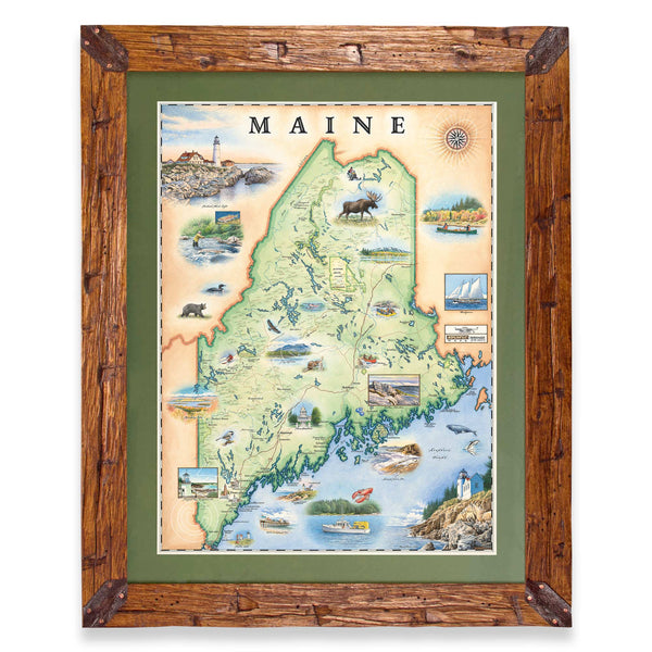
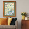
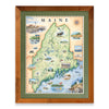
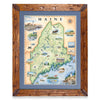
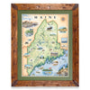
Fun and interactive map of Maine, can’t wait to get it matted and framed to hang in our Maine home.
XMXplorer Maps1 month agoHey Stacy! thanks for the kind words and supporting Xplorer Maps. Send us a picture when you get your Maine map framed! https://xplorermaps.com/pages/photo-contest-retail
- Ttbowring74Rated 5 out of 5 stars10 months ago5 Stars
It was just as described!!


