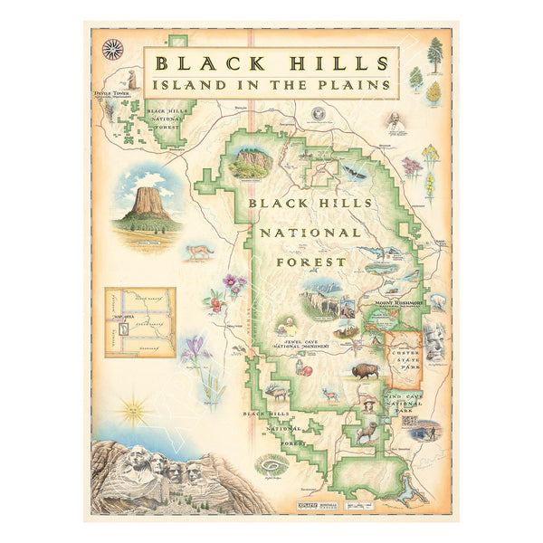
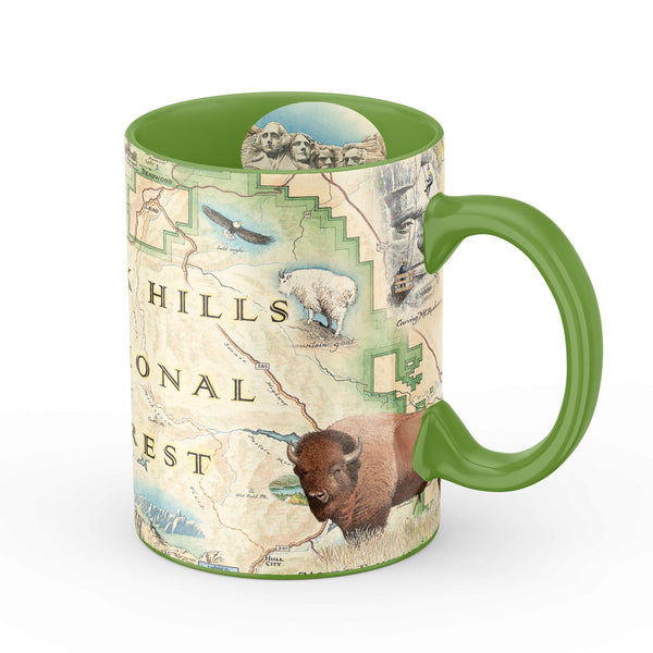
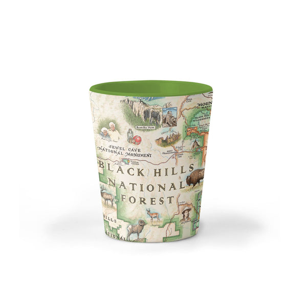
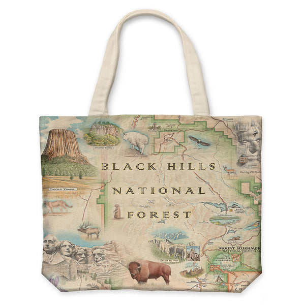
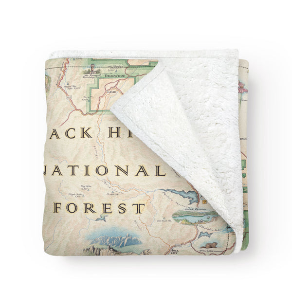
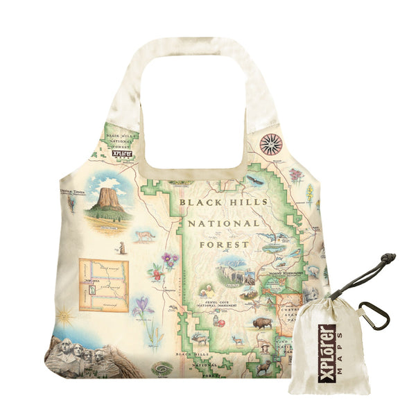
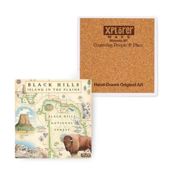
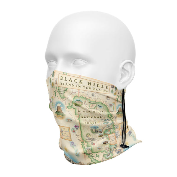
Black Hills National Forest
Original, hand-drawn story map and accompanying gifts of Black Hills National Forest by renowned Illustrator and Xplorer Maps Co-Founder, Chris Robitaille.
The Hills are diverse in cultural heritage; the name “Black Hills” comes from the Lakota words Paha Sapa, which mean “hills that are black”. The earliest known use of the area occurred about 10,000 years ago when Native Americans came to the Black Hills to seek visions and purify themselves. Paha Sapa was considered a sanctuary and was a peaceful meeting ground for tribes at war.
President Grover Cleveland established the Black Hills National Forest in 1897 as the Black Hills Forest Reserve. Now in its second century, the USDA Forest Service manages these 1.2 million acres of public land (often referred to as an “Island in the Plains”). Visitors will find rugged rock formations, canyons, grasslands, streams, lakes, unique caves and an abundance of recreational opportunities. With 11 reservoirs, 30 campgrounds, two scenic byways, 1,300 miles of streams, 13,605 acres of wilderness and over 450 miles of trails, adventure is always around the corner.
The four iconic presidents of Mt. Rushmore (Washington, Jefferson, Roosevelt, and Lincoln) overlook a National Forest as rich in natural resources as history. Encompassing the Black Hills, the Black Mountains, and the Bear Lodge Mountains of Wyoming, this Black Hills National Forest map also includes Wind Cave National Park and Custer State Park.