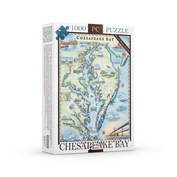
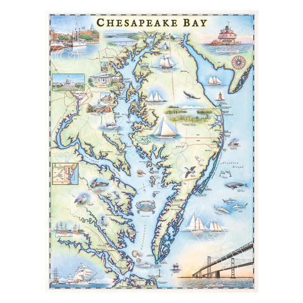
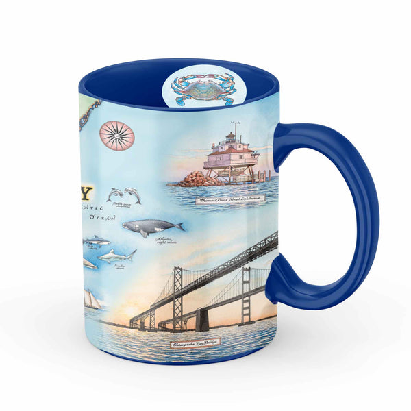
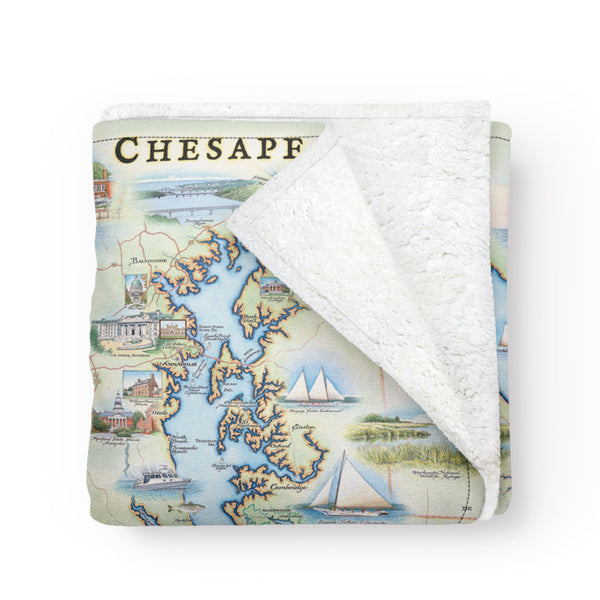
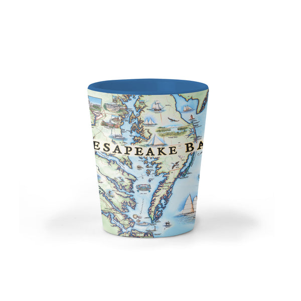
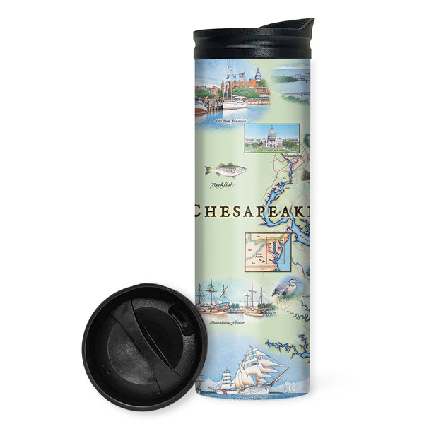
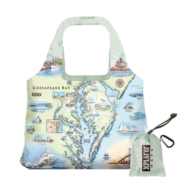
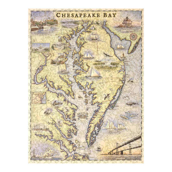
Chesapeake Bay

Original, hand-drawn story map and accompanying gifts of Chesapeake Bay by renowned Illustrator and Xplorer Maps Co-Founder, Chris Robitaille.

The Chesapeake Bay is the largest estuary (where salt and freshwater mix) in the United States (and 3rd largest in the world!) with 150 rivers flowing into its drainage system; covering parts of six states (MD, VA, DE, PA, NY and WV). The word Chesepioc is an Algonquian word referring to a village “at a big river” and collectively, the Powtan tribes were the dominant group long before any Europeans arrived in the area. 

Stretching more than 200 miles from the Susquehanna River in the north to Virginia Beach and the Atlantic Ocean in the south, the Chesapeake Bay watershed is “home” for more than 18 million people and is an integral part of the ecological and economic well-being of the region. The Bay is home to more than 3,600 species of animals and plants and provides important habitat for the wildlife as well as providing an abundance of recreational opportunities. 

In addition to its famous Blue Crabs and sailing culture, the Bay is also renowned for dozens of shipwrecks and its role in The Civil War where the first ironclads battled near Hampton Roads, VA.

Chesapeake Bay Map 1000 Piece Cardboard Jigsaw Puzzle. Featuring illustrations of boat craft and marine life. Places on the map include Baltimore, Annapolis, Cambridge, Yorktown, and the Chesapeake Bay Bridge.
Chesapeake Bay Map Jigsaw Puzzle
Price
$24.99
This is a hand-drawn map of Chesapeake Bay featuring blue and green earth tones and illustrations of boat craft and marine life. The cities showcased on the map are the major cities situated along the shoreline of the bay as well along the peninsula including: Baltimore, Annapolis, Washington D.C., Hampton, Portsmouth, Virginia Beach, and the Chesapeake Bay Bridge. It measures 18x24.
Chesapeake Bay Hand-Drawn Map
Price
From $29.99
Chesapeake Bay Map Ceramic Mug in blue featuring sail boats, bridges, sea creatures, bridges, and lighthouses.
Chesapeake Bay Map Ceramic Mug
Price
$19.99
Chesapeake Bay Map fleece blanket in earth tone colors blue and green. The map features blue crab and sail boats. Measures 58"x50."
Chesapeake Bay Map Fleece Blanket
Price
$49.99
Chesapeake Bay Map Ceramic shot glass featuring illustrations of boat craft and marine life. Places on the map include Baltimore, Annapolis, Cambridge, Yorktown, and the Chesapeake Bay Bridge.
Chesapeake Bay Map Ceramic Shot Glass
Price
$7.99
Chesapeake Bay Map travel drinkware by Xplorer Maps featuring illustrations of boat craft and marine life. Places on the map include Baltimore, Annapolis, Cambridge, Yorktown, and the Chesapeake Bay Bridge.
Chesapeake Bay Map Travel Drinkware
Price
$29.99
Chesapeake Bay Map Pouch Tote Bag
Price
$19.99
Chesapeake Bay Map Kitchen Dishwashing Towel in earth tones of blue and green. Featuring illustrations of boat craft and marine life. Places on the map include Baltimore, Annapolis, Cambridge, Yorktown, and the Chesapeake Bay Bridge.
Chesapeake Bay Map Kitchen Towel
Price
$16.99
Xplorer Maps' classic wooden jigsaw puzzles. Featuring illustrations of boat craft and marine life. Places on the map include Baltimore, Annapolis, Cambridge, Yorktown, and the Chesapeake Bay Bridge.
Chesapeake Bay Map Wood Puzzle
Price
$199.99