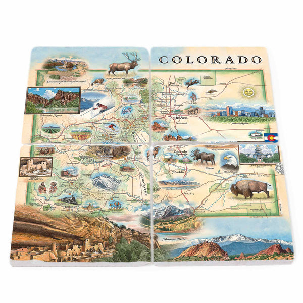
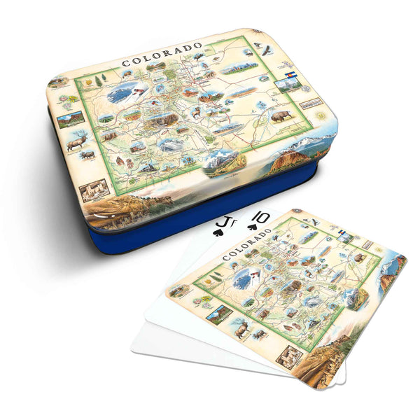
Colorado: The Centennial State
Original, hand-drawn story map and accompanying gifts of Colorado by renowned Illustrator and Xplorer Maps Co-Founder, Chris Robitaille.
From the ancestral Puebloan cliff dwellings to the snow-capped and rugged Rocky Mountains, Colorado is a historic and geographic national treasure.
An organized territory in 1861, Colorado was admitted to the union in 1876 by Ulysses S. Grant as the 38th state. Given its exactly 100-year span from the signing of the Declaration of Independence, it is known as the “Centennial State”.
From high plains and alpine mountains to low deserts and deep canyons, Colorado’s diverse geography provides many landscapes and environments for a plethora of wildlife and a recreational playground for humans. From buffalo roaming on the open plains to Red Rocks Amphitheater to the history of the Native American cultures, the Xplorer Maps Colorado map has a little something for every adventurer.