Denali National Park & Preserve
Original, hand-drawn story map and accompanying gifts of Denali National Park & Preserve by renowned Illustrator and Xplorer Maps Co-Founder, Chris Robitaille.
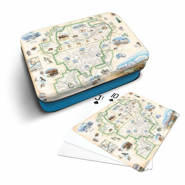
The 6 million acres of Denali National Park's interior wilderness are filled with more majesty, beauty and wildlife than your eyes and soul can likely handle. Low-elevation taiga forest gives way to high alpine tundra and snowy mountains, culminating in North America's tallest peak, 20,310' Denali. Once known as Mt. McKinley, named as such after the gold-rush supporting 1896 presidential nominee William McKinley, in 2015, the mountain was officially changed to what locals always referred to it as; Denali, meaning "High One" in native Athabaskan language.
Denali National park is home to a seemingly endless list of enchanting wildlife in their natural habitats. From grizzly bears, wolves, moose, caribou and Dall sheep to wolverines, fox, marmot and all kinds of raptors, it literally is the last wild frontier. Wildlife artist Chris Robitaille has found no better worldly wonder to put his realism artistry on display than this map, where he features not only incredible depictions of the awesome creatures that roam the landscape but also the amazing flora, fauna and history that have formed and continue to grace Denali National Park.
This hand-drawn, custom and ORIGINAL illustrated map of the park received significant input and guidance from staff at Alaska Geographic and their National Park Service representatives. Please visit akgeo.org to learn more about their mission to connect people to the vast ecosystem and vibrant cultures of the Alaska’s public lands. Xplorer Maps donates a portion of all proceeds to this organization from the sale of these maps.