Isle Royale National Park
Original, hand-drawn story map and accompanying gifts of Isle Royale National Park by renowned Illustrator and Xplorer Maps Co-Founder, Chris Robitaille.
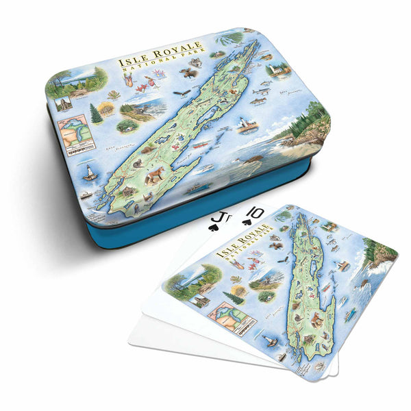
Established in 1940, Isle Royale National Park encompasses an archipelago of 400 islands above Michigan’s Upper Peninsula near the Canadian border. Surrounded by Lake Superior, this rugged and remote park is the largest wilderness area in Michigan boasting an abundance of moose, wolves, foxes, beavers, snowshoe hare and loons.
Declared a UNESCO International Biosphere Reserve in 1980, Isle Royale is renowned as the “backpacker’s island”; the 42 mile Greenstone Ridge Trail follows the spine of Isle Royale (the largest island) linking the Windigo Harbor in the west and Rock Harbor in the east.
The park also provides unparalleled solitude and adventures for kayakers, canoeists, boaters and scuba divers with several shipwrecks providing unique dive sites. And while the park is one of the least-visited in the U.S., it has the highest re-visitation rate of any national park in the nation.
This custom, hand-drawn map is the result of a collaborative partnership with the Isle Royale and Keweenaw Park Association (www.irkpa.org) and Xplorer Maps donates a portion of all proceeds from the sale of this custom map project to help enhance educational programs and visitor experiences.