


Bundle & Save
Hand-Drawn Map Bundle - 4 for $100
$120.00

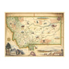
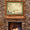
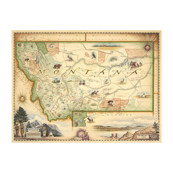
This 18” x 24” unframed lithographic art print features an original hand-illustrated map of Montana, created in pen and ink with watercolor by Xplorer Maps artist Chris Robitaille.
Known as Big Sky Country, Montana is the fourth-largest state in the U.S., spanning nearly 147,000 square miles of dramatic and varied terrain. The map captures the powerful contrast between the rugged Rocky Mountains of the west — carved by glaciers and divided by the Continental Divide — and the expansive Great Plains stretching across the eastern horizon.
Major rivers such as the Missouri and Yellowstone wind through the landscape, tracing historic routes traveled by Lewis and Clark. Forests, grasslands, and alpine peaks are woven into the composition, reflecting the state’s remarkable ecological diversity.
Iconic destinations including Glacier National Park and Yellowstone National Park anchor the artwork, representing Montana’s global reputation for wilderness and adventure. Wildlife such as mountain lions, bald eagles, elk, and grizzly bears inhabit the terrain, while the Bitterroot flower — the state flower — adds a distinctive botanical note.
Montana’s open spaces, small towns, and outdoor culture are embedded throughout the map, celebrating a state defined by scale, solitude, and connection to land.
Blending artistic storytelling with detailed cartography, this piece captures the spirit, geography, and enduring allure of Montana.
Product Details
Dimensions: 18” × 24”
Orientation: Vertical
Print Type: Fine art lithograph
Artwork by: Chris Robitaille, Co-Founder of Xplorer Maps
Ships rolled in protective tube