Glacier National Park Map Magnets
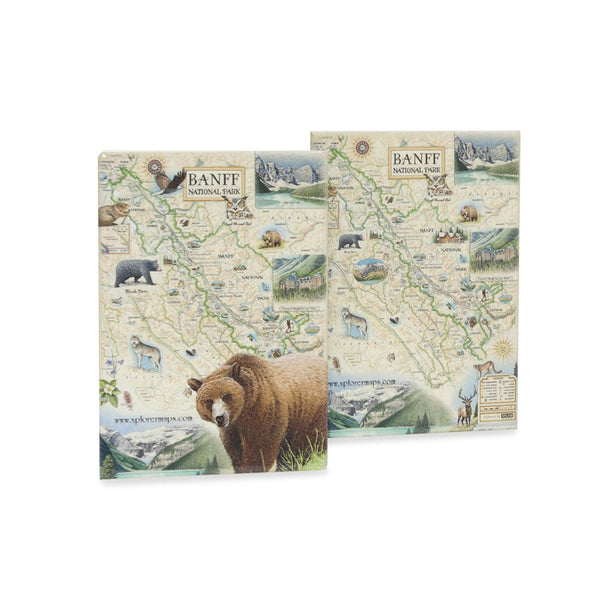
Banff National Park Map Magnets
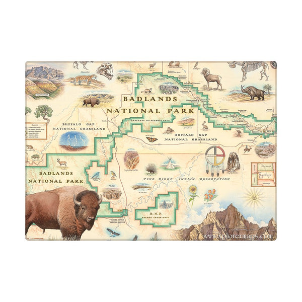
Badlands National Park Map Magnets
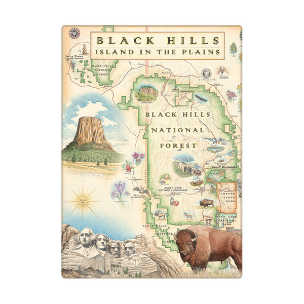
Black Hills National Forest Map Magnets
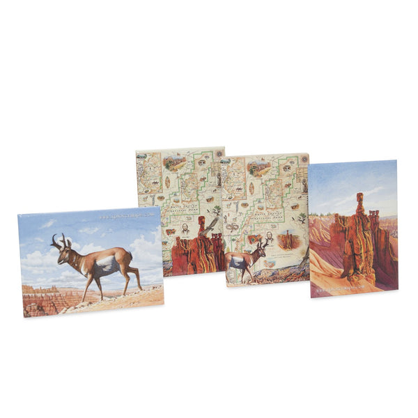
Bryce Canyon National Park Map Magnets
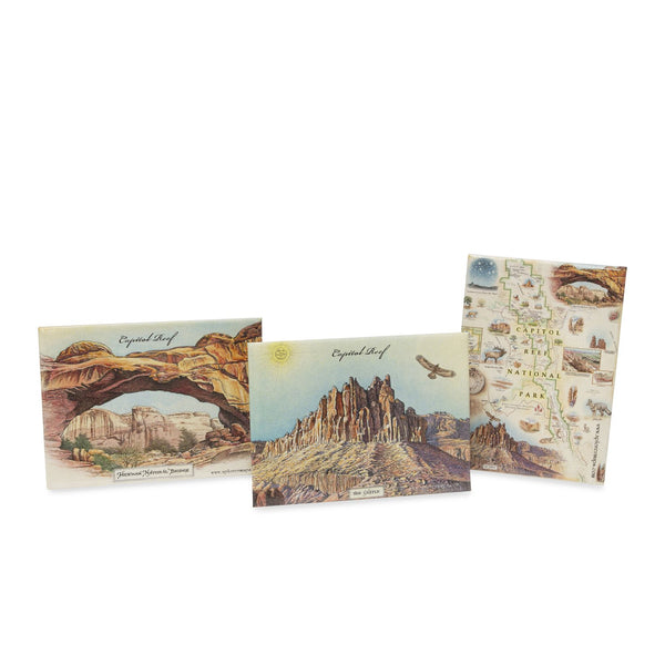
Capitol Reef National Park Map Magnets
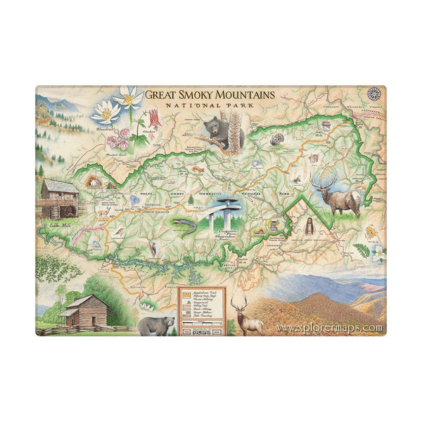
Great Smoky Mountain National Park Map Magnets
Red Rock Canyon National Conservation Area Map Magnets