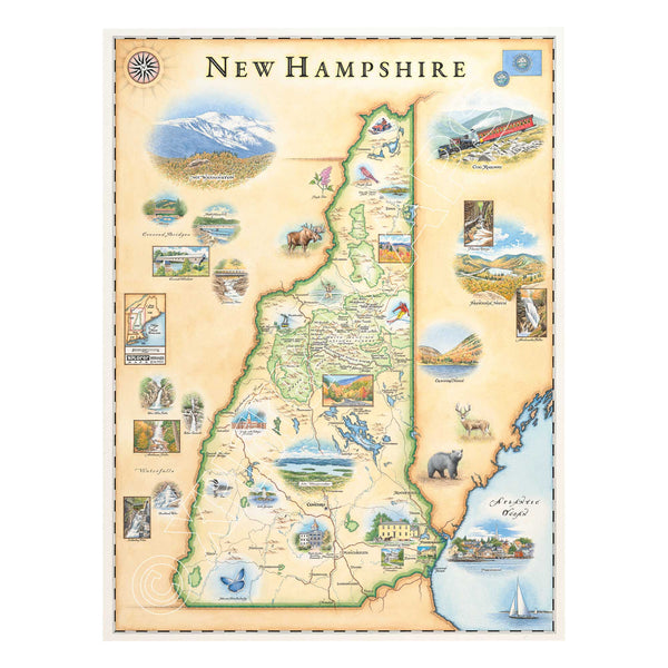
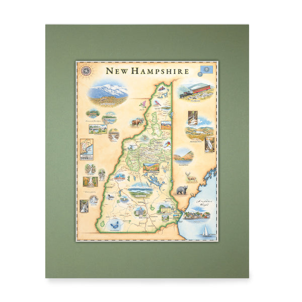
New Hampshire State Hand-Drawn Map
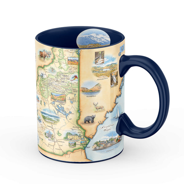
New Hampshire State Map Ceramic Mug
New Hampshire State Map Ceramic Shot Glass
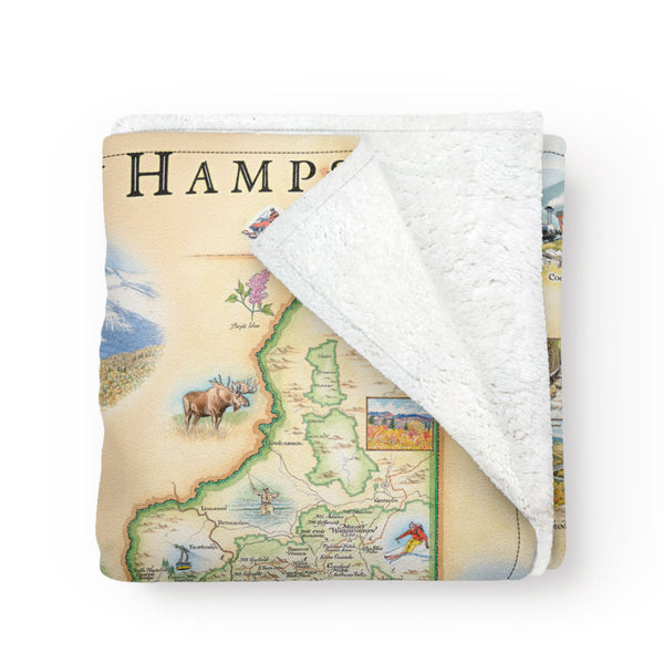
New Hampshire Fleece Blanket
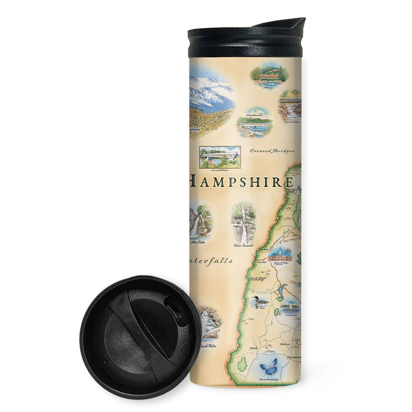
New Hampshire State Map Travel Drinkware
New Hampshire State Mini-Map
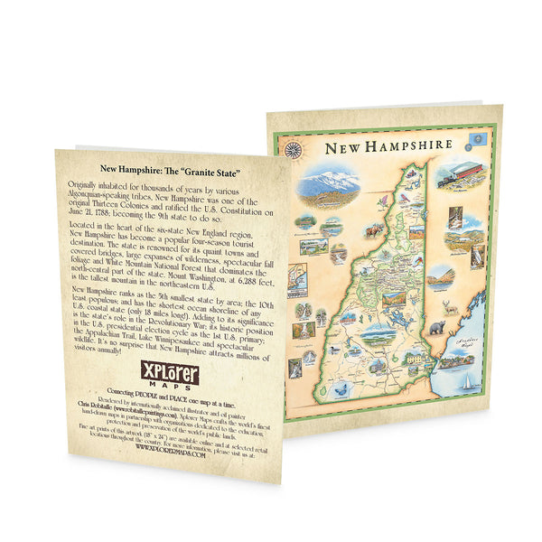
New Hampshire Notecards - Set of 6
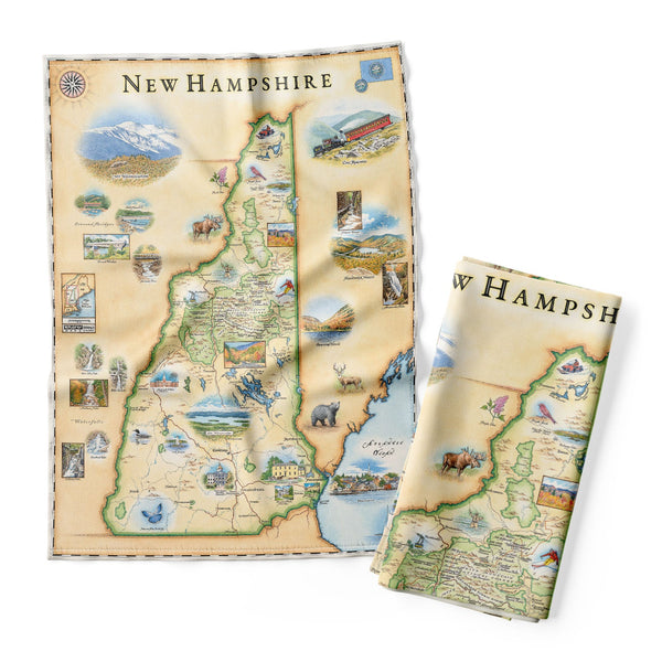
New Hampshire State Map Kitchen Towel
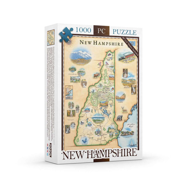
New Hampshire State Map Jigsaw Puzzle - 1000 Pieces
New Hampshire State Map Ceramic Coasters
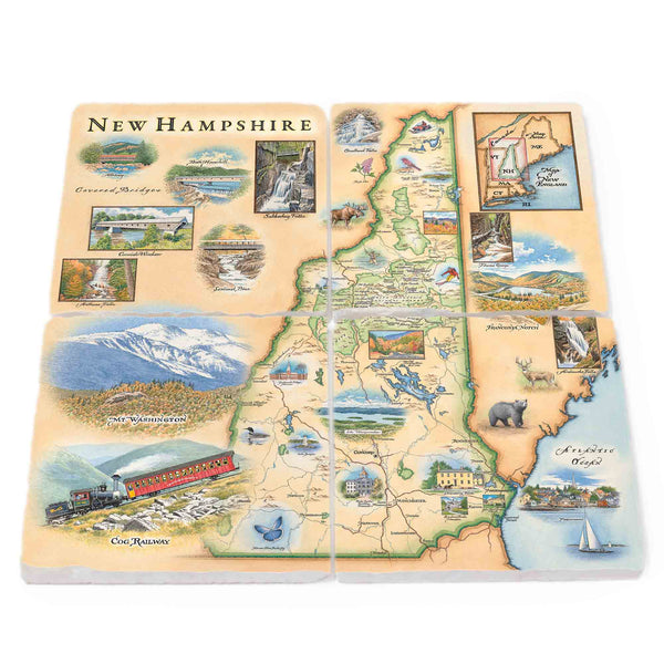
New Hampshire State Natural Stone Coasters - Set of 4
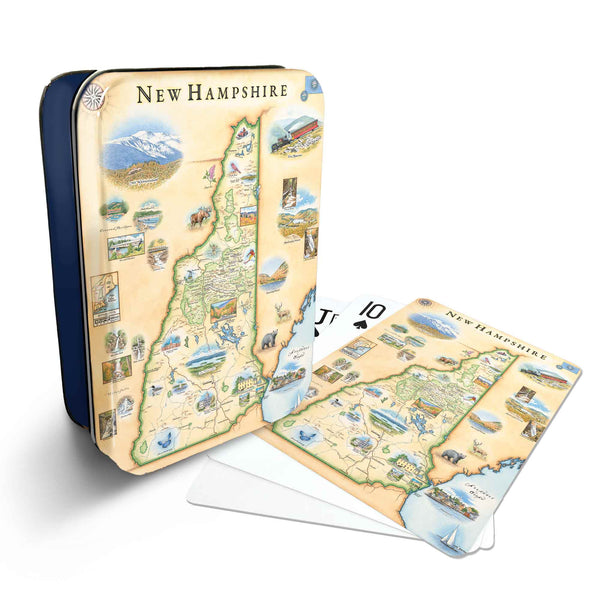
New Hampshire State Map Playing Cards