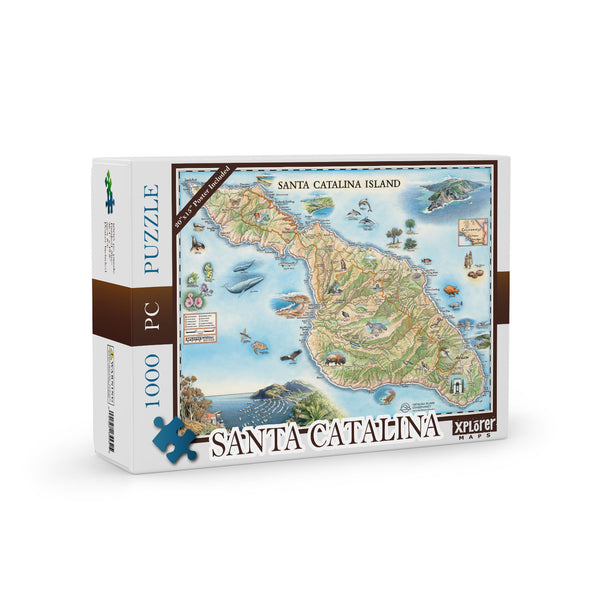
Santa Catalina Island Map Jigsaw Puzzle - 1000 Pieces
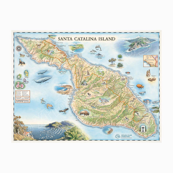
Santa Catalina Island Hand-Drawn Map
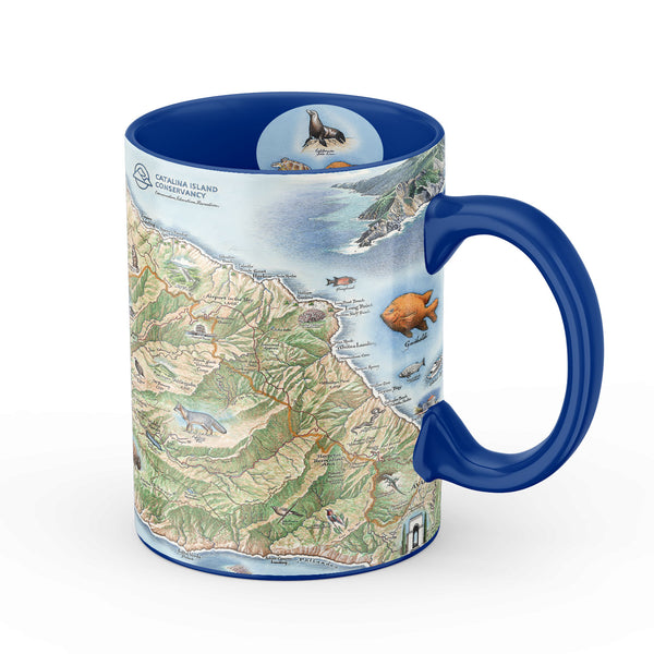
Santa Catalina Island Map Ceramic Mug
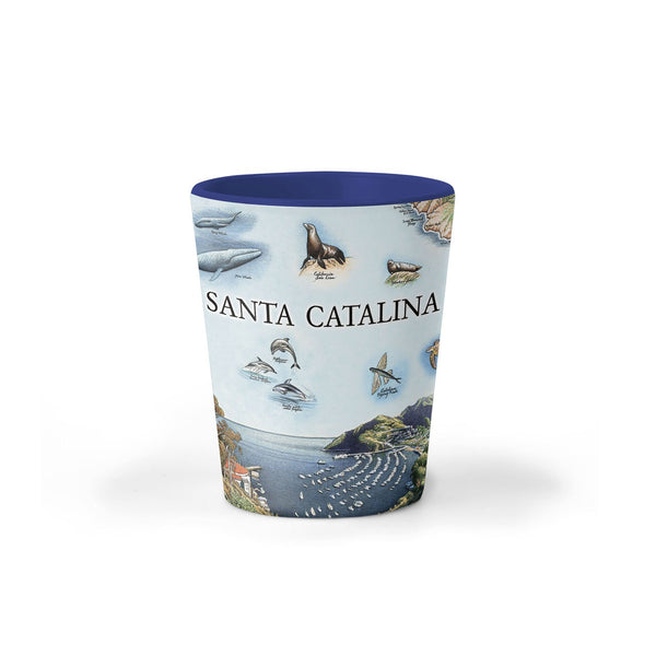
Santa Catalina Island Map Ceramic Shot Glass
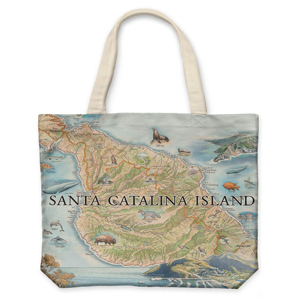
Santa Catalina Map Canvas Tote Bag
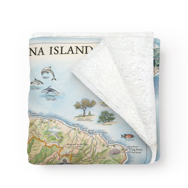
Santa Catalina Island Map Fleece Blanket
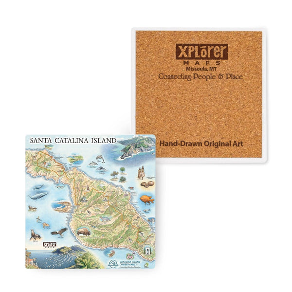
Santa Catalina Island Map Ceramic Coasters
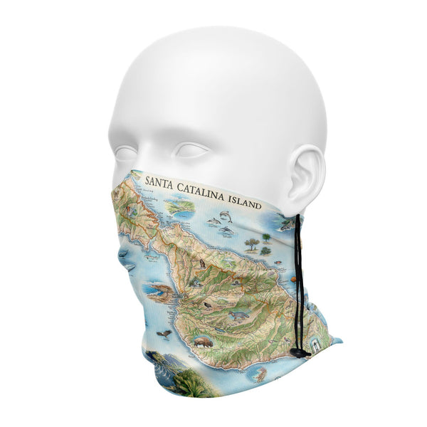
Santa Catalina Neck Gaiters
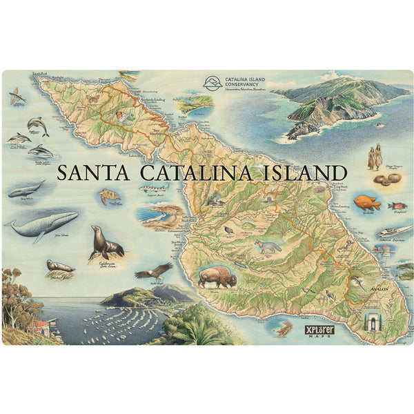
Santa Catalina Island Wood Sign
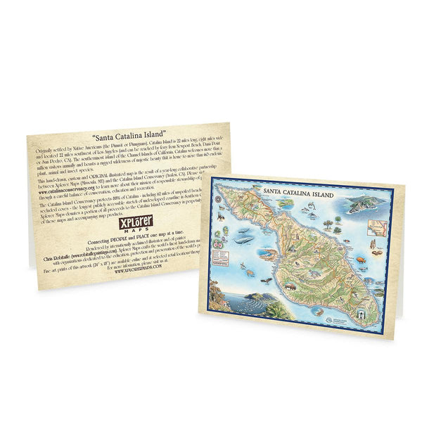
Santa Catalina Island Notecards - Set of 6
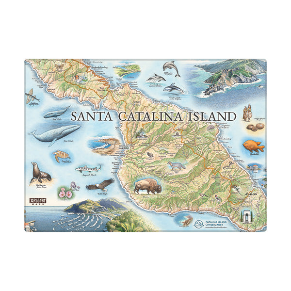
Santa Catalina Island Magnets
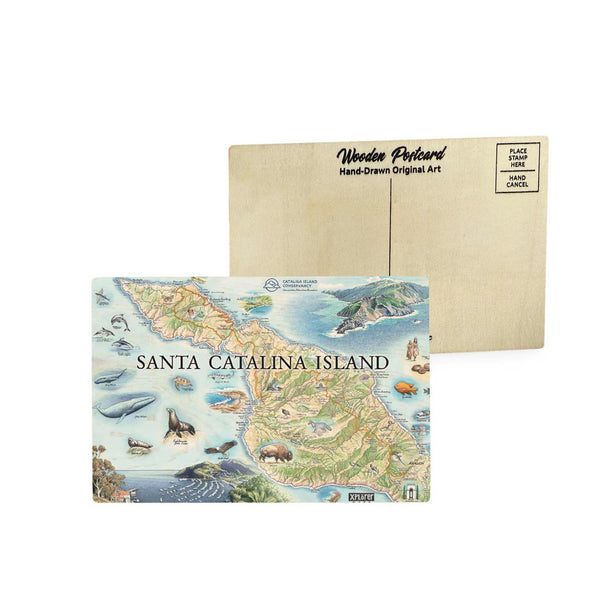
Santa Catalina Island Map Wooden Postcard