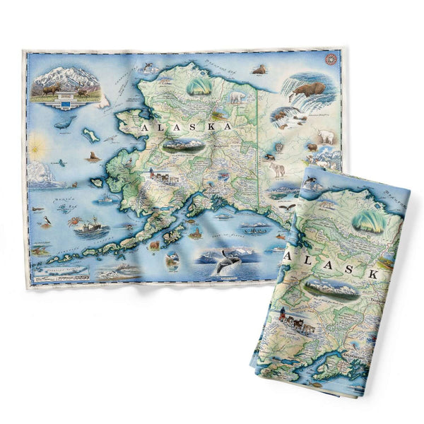
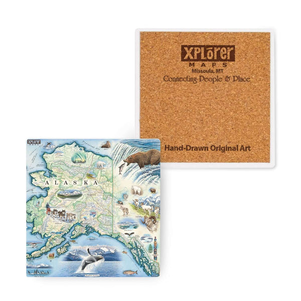
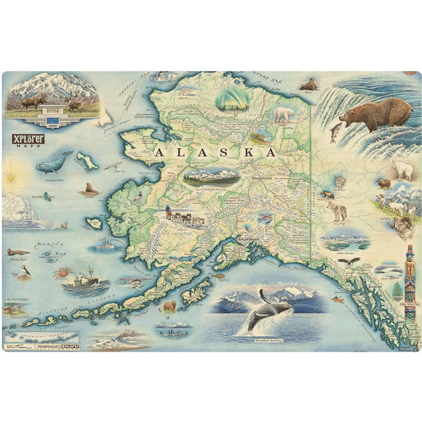
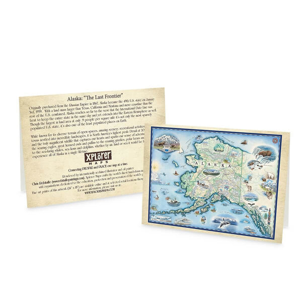
Alaska: The Last Frontier
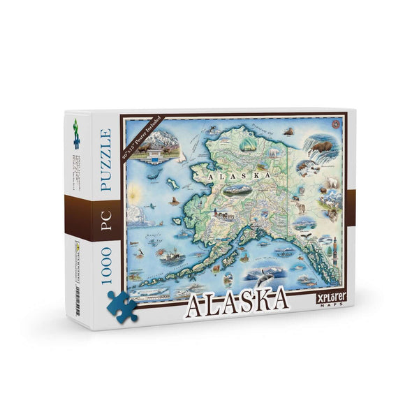
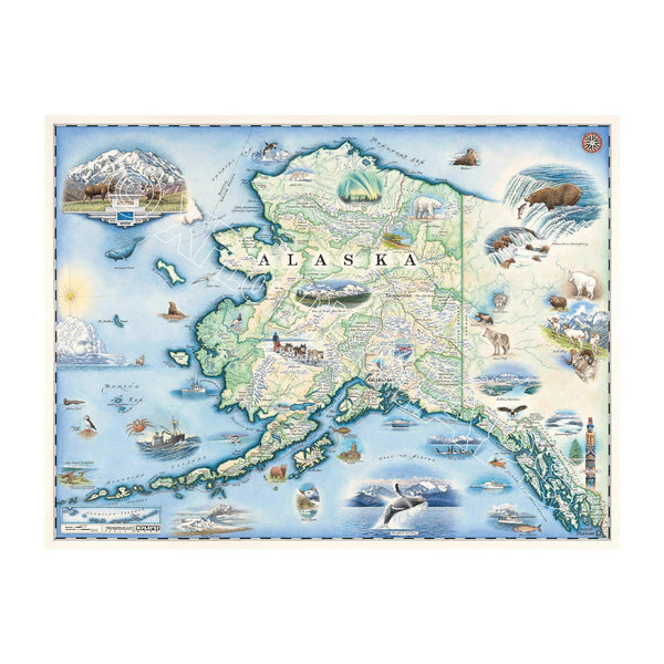
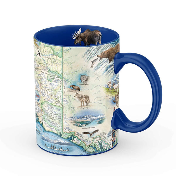
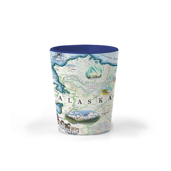
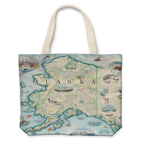
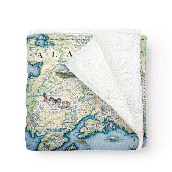
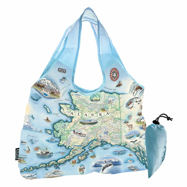
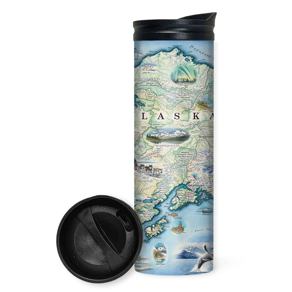
Explore Alaska with this original hand-drawn story map by Chris Robitaille. Purchased from the Russian Empire in 1867 and becoming the 49th U.S. state in 1959, Alaska is larger than Texas, California, and Montana combined, with more coastline than the rest of the U.S. combined.
Known for its vast landscapes, incredible scenery, and diverse wildlife, Alaska features North America's highest peak, Denali, at 20,310 feet. Home to soaring eagles, grizzly bears, and majestic whales, Alaska offers endless adventures across its rugged terrain and remote wilderness.
Xplorer Maps will donate a portion of all proceeds from the sale of this map to Alaska Geographic, one of our growing list of Public Lands Alliance partners. Please visit akgeo.org to learn more about their mission to connect people to the vast ecosystem and vibrant cultures of Alaska’s public lands.


