Capitol Reef National Park
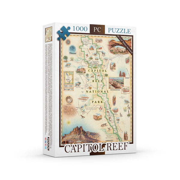
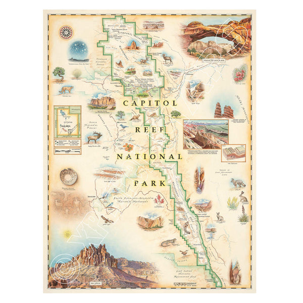
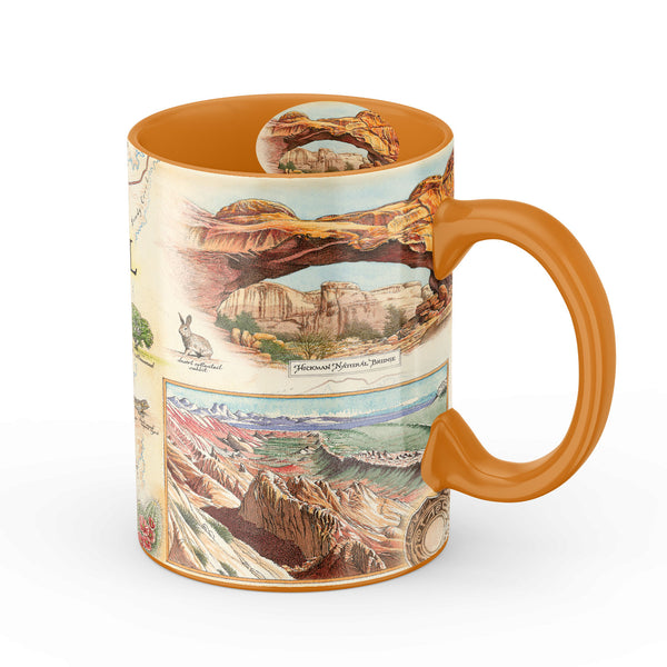
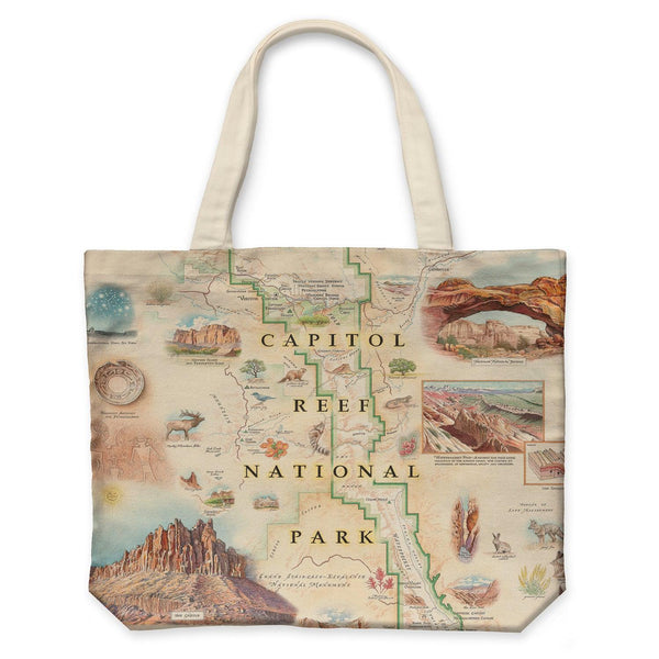
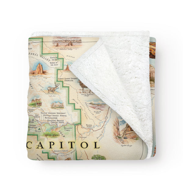
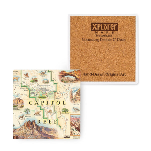
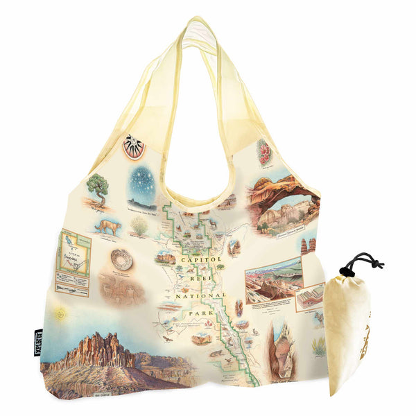
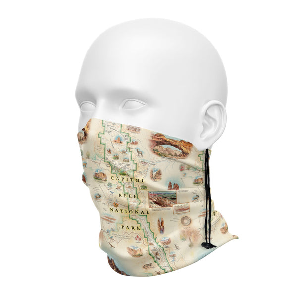
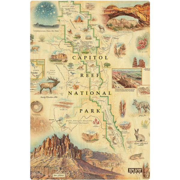
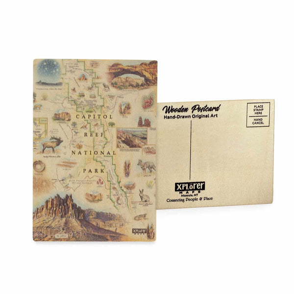
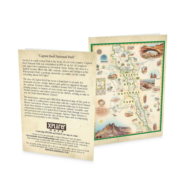
Original, hand-drawn story map and accompanying gifts of Capitol Reef National Park by renowned Illustrator and Xplorer Maps Co-Founder, Chris Robitaille.
Established in 1971, Capitol Reef National Park is located in south-central Utah within the heart of red rock country. Known for its dramatic cliffs, canyons, domes, and bridges, the park features the Waterpocket Fold, a 100-mile-long geological monocline. The area has been home to various cultures for thousands of years, from Archaic hunters and Fremont farmers to Mormon pioneers who settled in the Fruita Rural Historic District. This custom illustrated map, created in partnership with the Capitol Reef Natural History Association, captures the park’s rich history and stunning landscapes. Xplorer Maps donates a portion of proceeds from these maps and products to the CRNHA.


