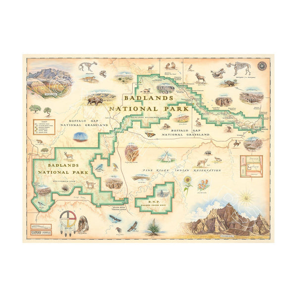
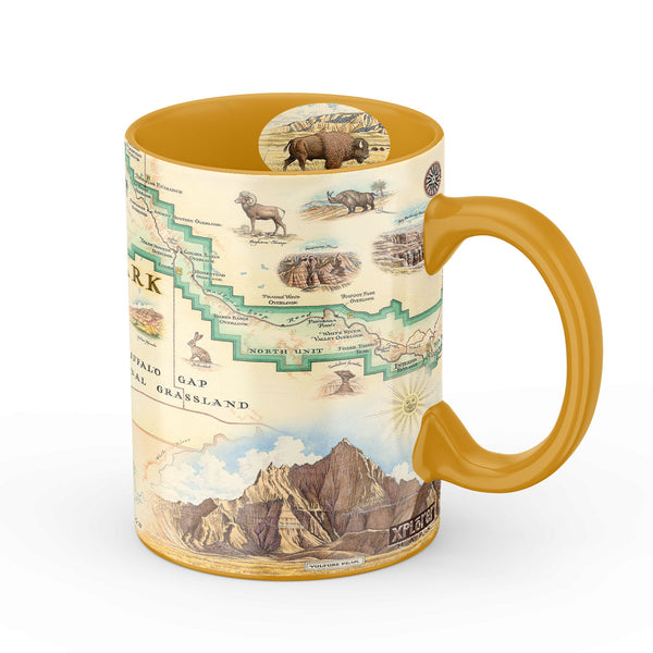
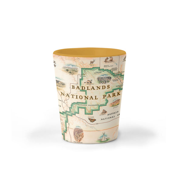
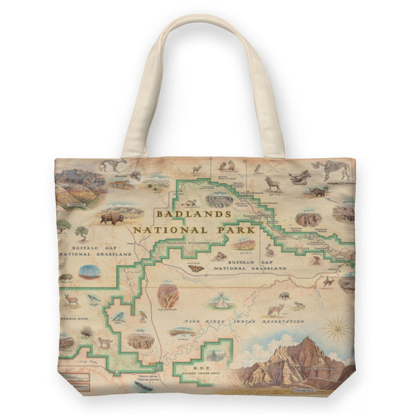
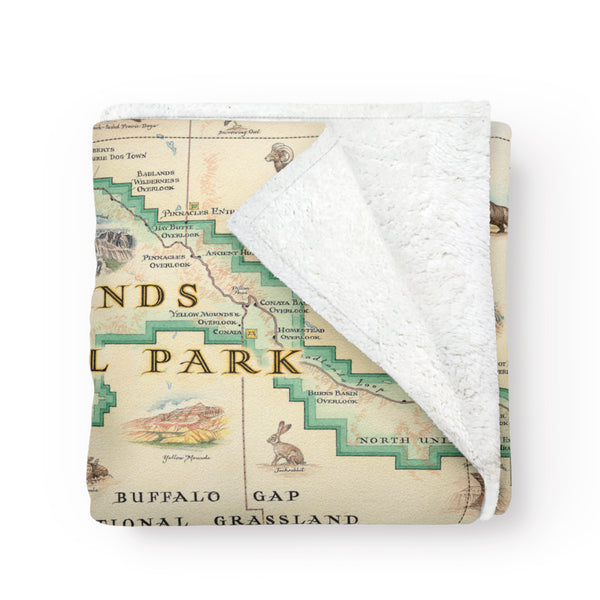
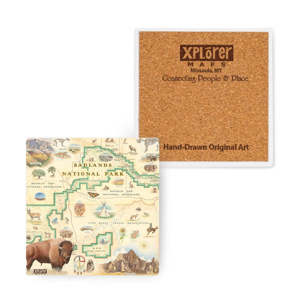
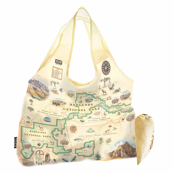
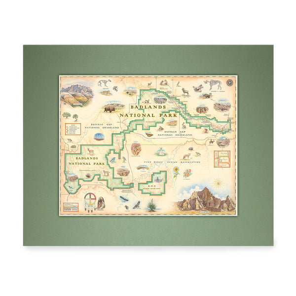
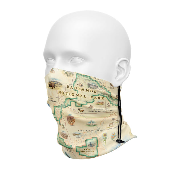
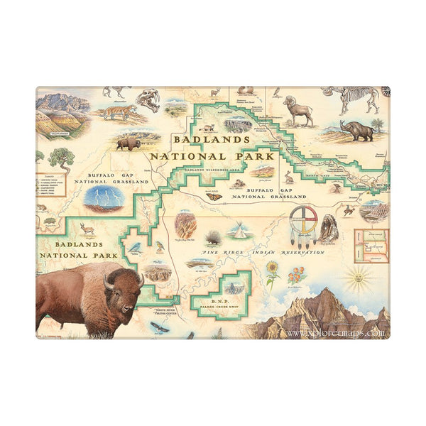
The Badlands National Park Map illustrates the beauty and history of this iconic South Dakota landscape.
Tucked in the Southwest corner of South Dakota, Badlands National Park is roughly 380 square miles of sharply eroded buttes, pinnacles, and spires blended with the largest undisturbed mixed grass prairie in the United States of America. Co-managed by the National Park Service and the Oglala tribe it includes a plethora of sites including the 1890s ghost dances, the Red Shirt Table Overlook and the Buffalo Gap National Grassland. The flora and fauna of Badlands National Park is equally as inspiring as the landscape. Golden and Bald eagles soar above Big Horn Sheep, Swift Foxes, black-footed ferrets, bobcats and badgers while Yucca, Scarlet Globemallows and Sunflowers dot the prairies and mountains. And it's not simply the living that inhabit Badlands. The White River area has proven to be a very significant paleontological resource since the mid 1800's, boasting the largest assemblage of known late Eocene and Oligocene mammals. Fossil hunters have uncovered the remains of camels, three-toed horses creodonts and the fearsome cat-like carnivore the Hoplophoneus that graces this beautiful Badlands National Park Map.
From the early paleo-Indians to the Lakota wandering the plains to the homesteaders of the Civil War Era to the Air Force possession of the Pine Ridge Indian Reservation, the history of Badlands National Park is as rich as the soil. The Xplorer Maps rendition of the Badlands National Park Map attempts to tell the story of this history and how the inhabitants, flora and fauna have shaped it into its present day splendor. Every brush stroke, line and letter has been uniquely illustrated with its story in mind.