Minnesota Map Wood Serving Trays
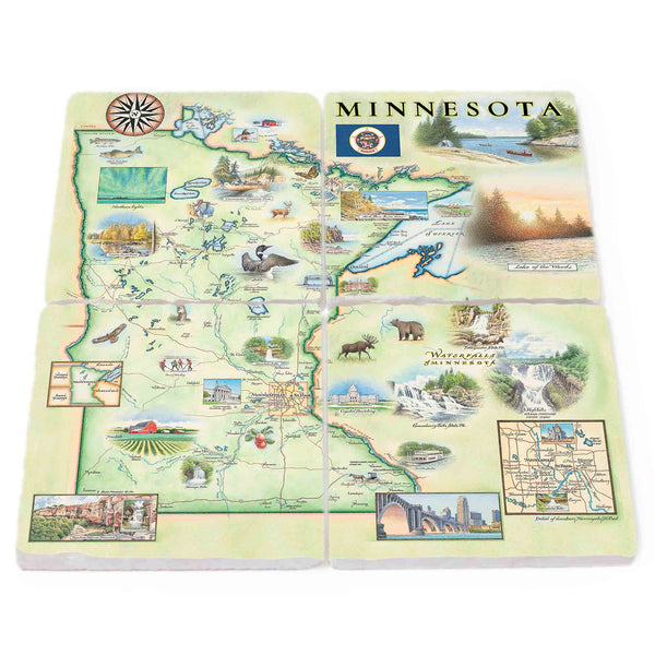
Minnesota Natural Stone Coasters - Set of 4
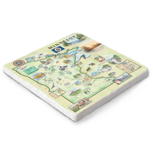
Minnesota Natural Stone Trivet
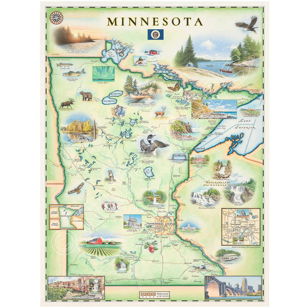
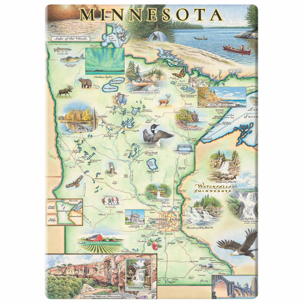
Minnesota State Hand-Drawn Map
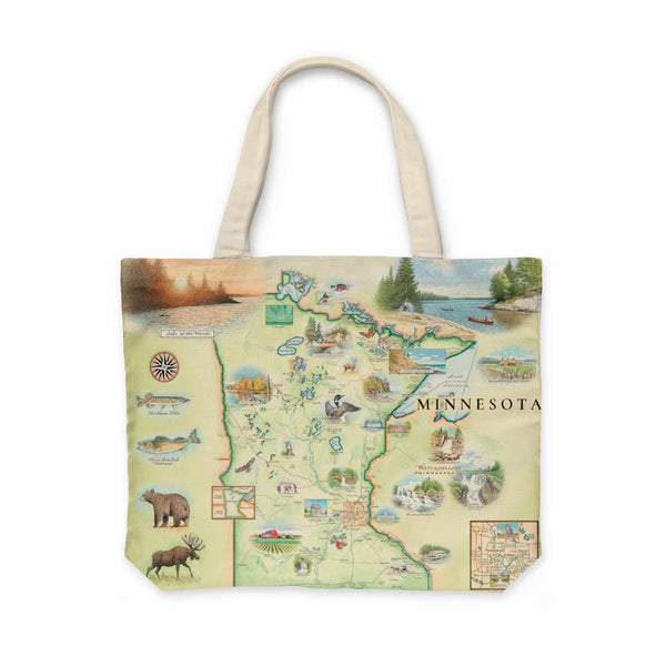
Minnesota State Map Canvas Tote Bag
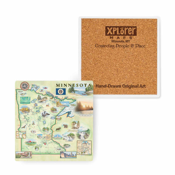
Minnesota State Map Ceramic Coasters
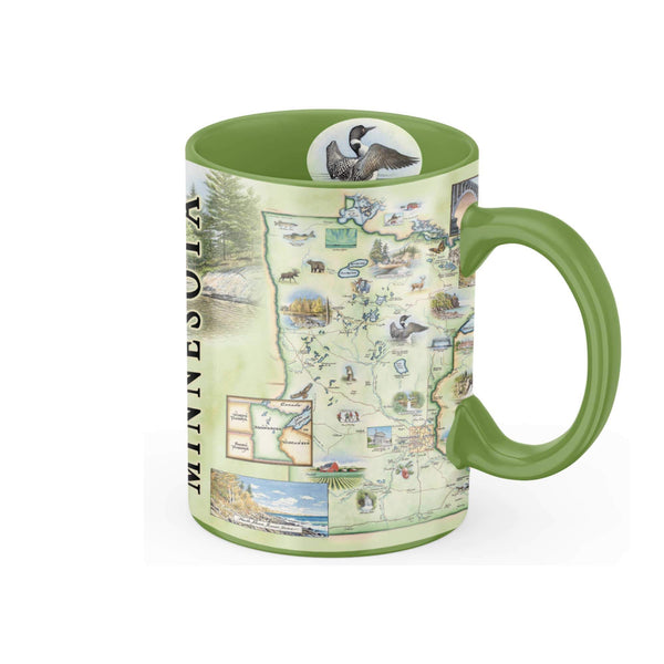
Minnesota State Map Ceramic Mug
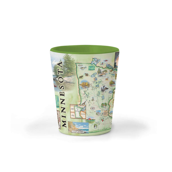
Minnesota State Map Ceramic Shot Glass
Minnesota State Map Fleece Blanket
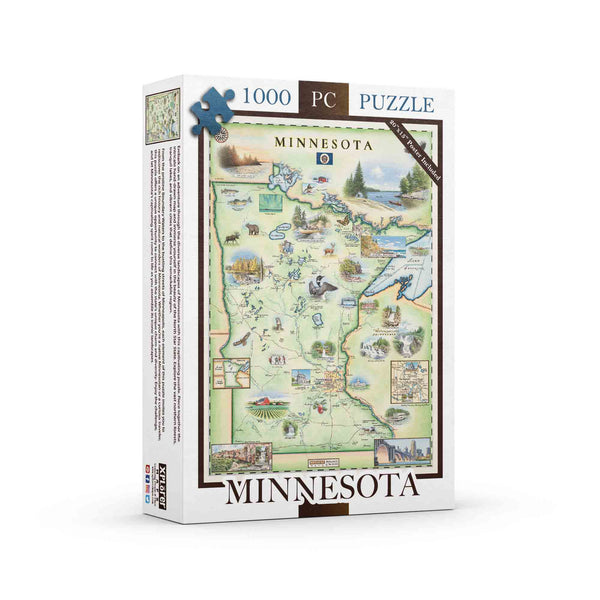
Minnesota State Map Jigsaw Puzzle - 1000 Pieces
Minnesota State Map Kitchen Towel
Minnesota State Map Magnet