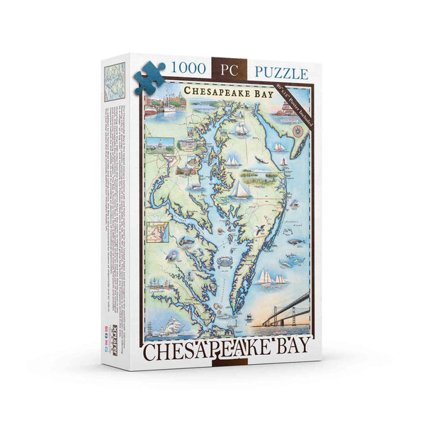
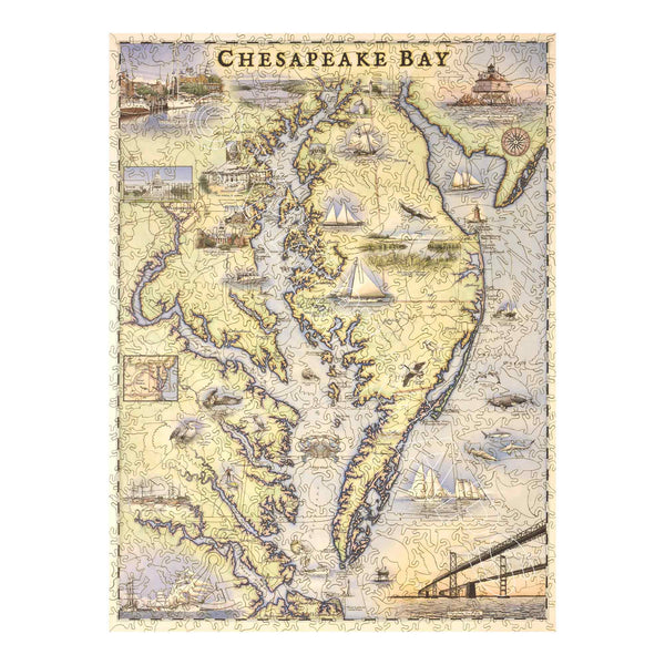
Chesapeake Bay Map Jigsaw Puzzle - 1000 Pieces
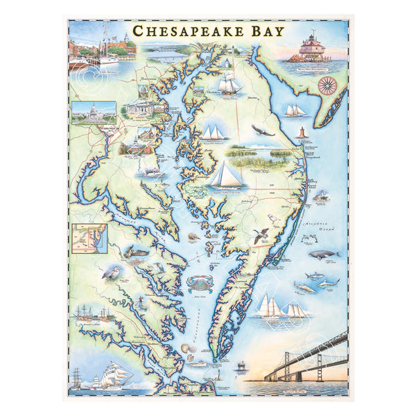
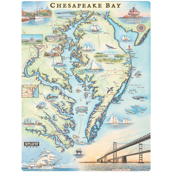
Chesapeake Bay Hand-Drawn Map
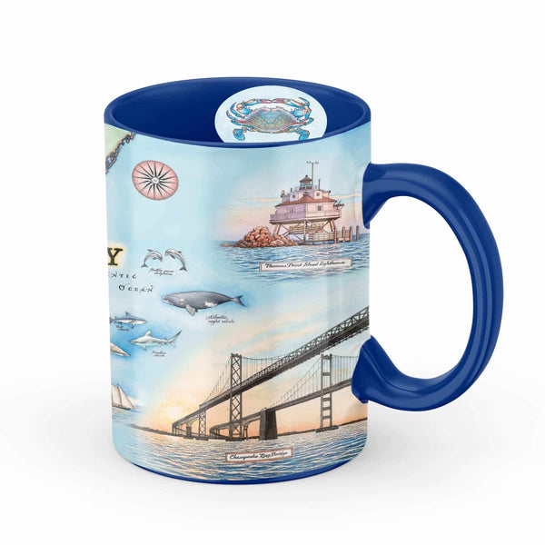
Chesapeake Bay Map Ceramic Mug
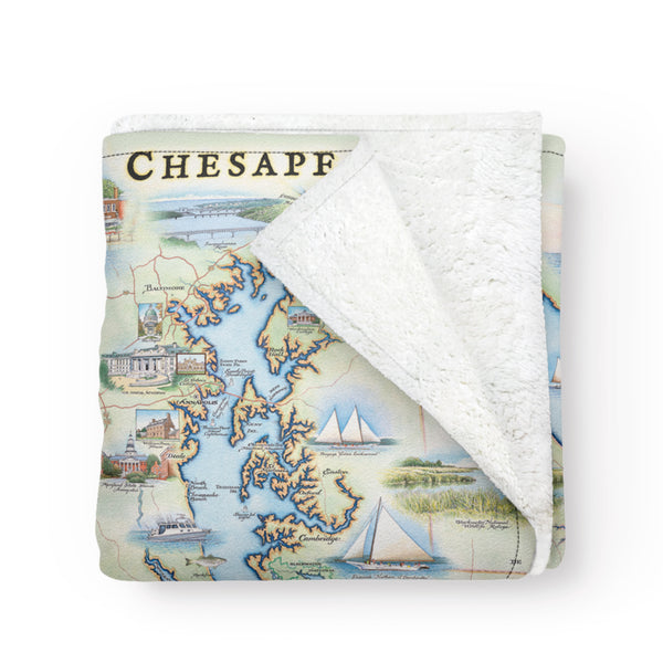
Chesapeake Bay Map Fleece Blanket
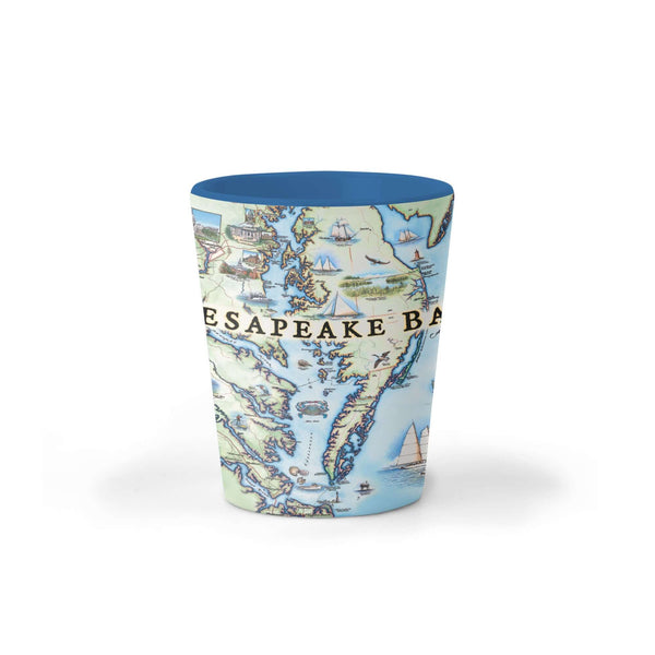
Chesapeake Bay Map Ceramic Shot Glass
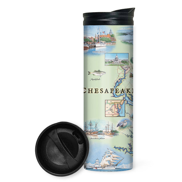
Chesapeake Bay Map Travel Drinkware
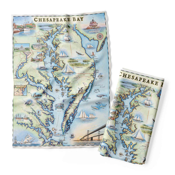
Chesapeake Bay Map Kitchen Towel
Chesapeake Bay Map Wood Puzzle
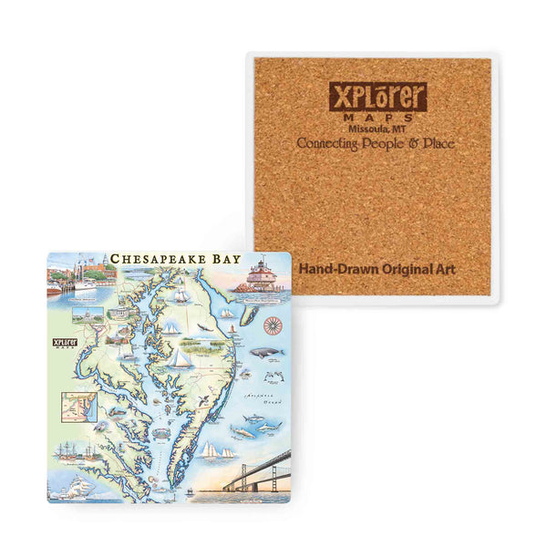
Chesapeake Bay Map Ceramic Coasters
Chesapeake Bay Map Wood Sign
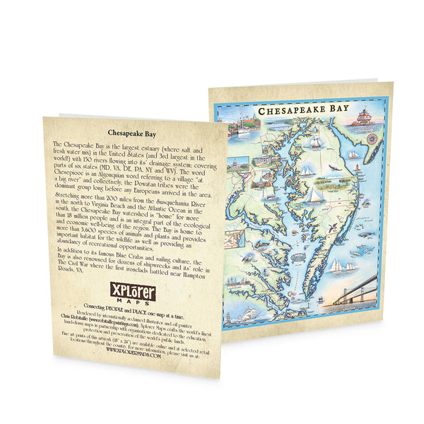
Chesapeake Bay Notecards - Set of 6
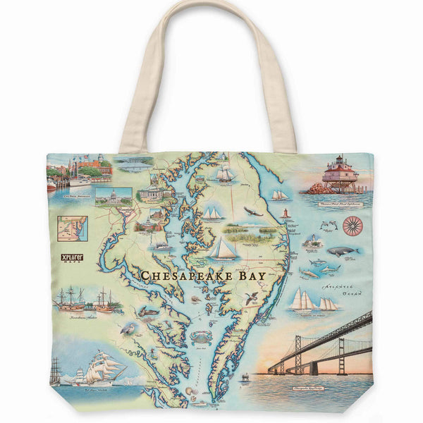
Chesapeake Bay Map Canvas Tote Bag