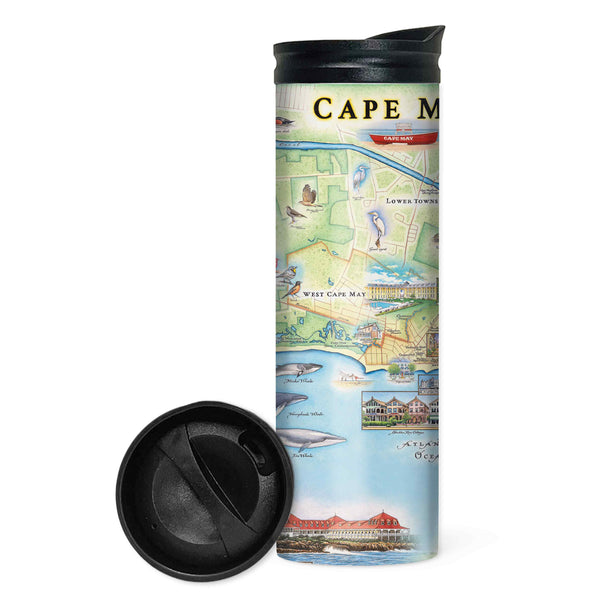
Cape May Map Travel Drinkware
Cape May Map UltraLight Sunshirt Hoodie – UPF 50+
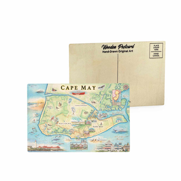
Cape May Map Wooden Postcard
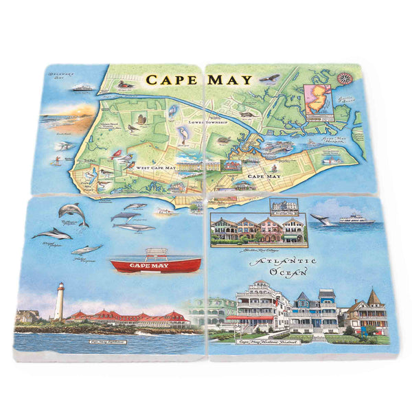
Cape May Natural Stone Coasters - Set of 4
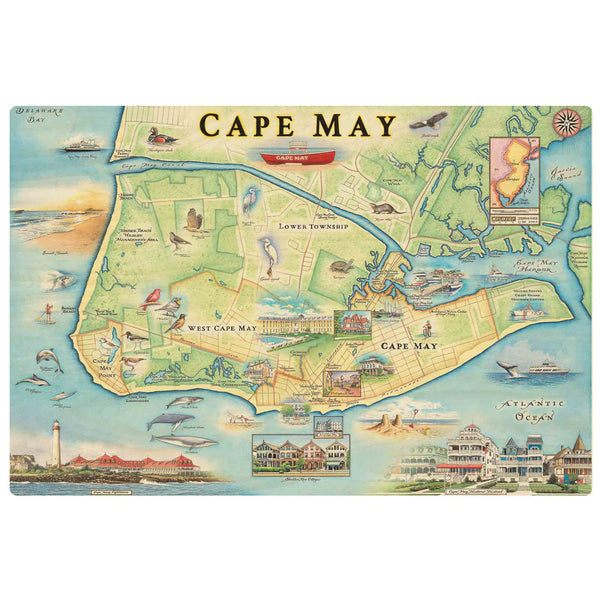
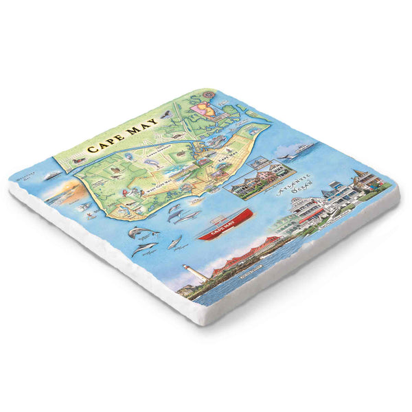
Cape May Natural Stone Trivet
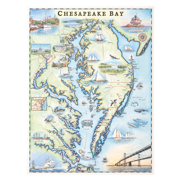
Chesapeake Bay Hand-Drawn Map
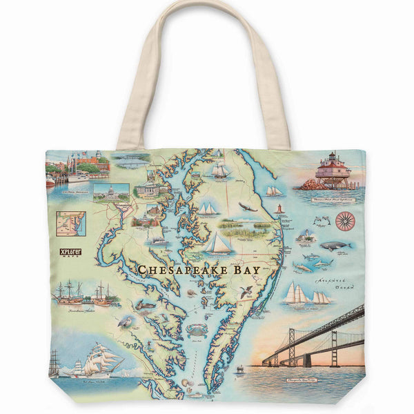
Chesapeake Bay Map Canvas Tote Bag
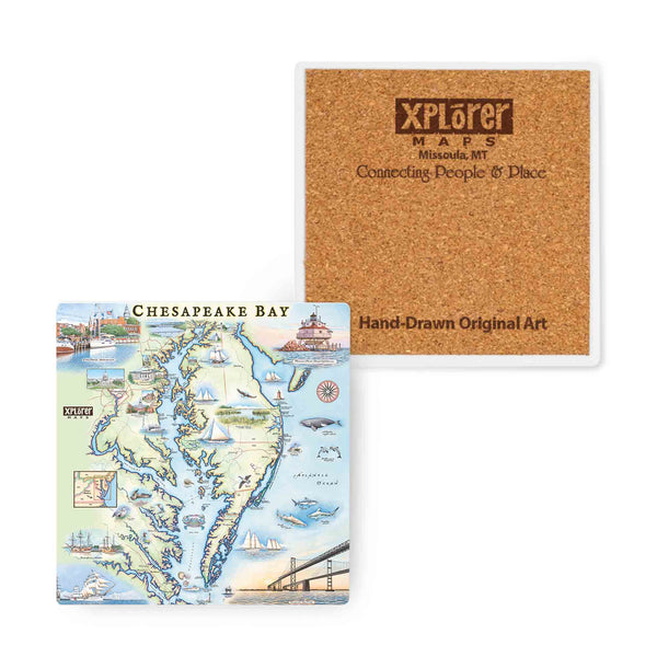
Chesapeake Bay Map Ceramic Coasters
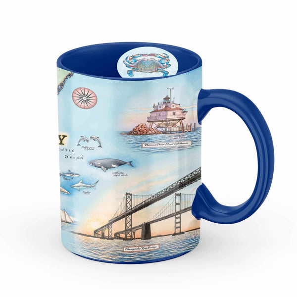
Chesapeake Bay Map Ceramic Mug
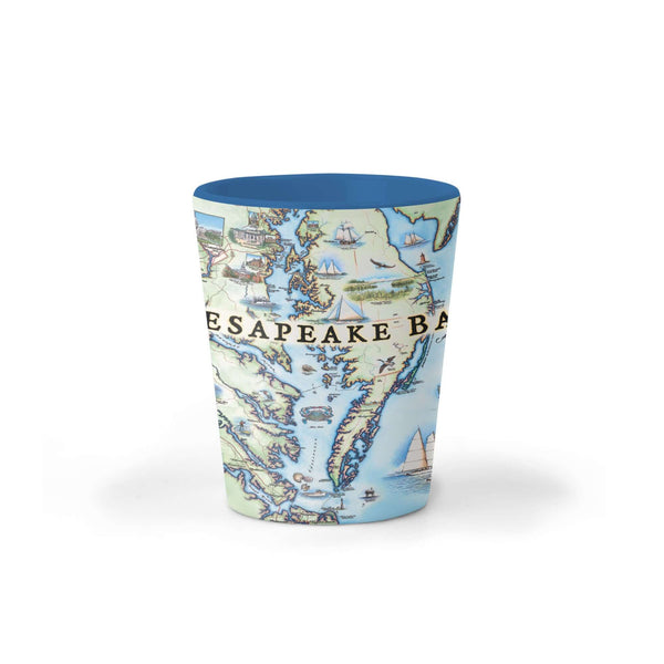
Chesapeake Bay Map Ceramic Shot Glass