
Double click image to zoom in
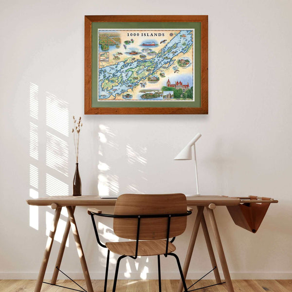
Click image to open expanded view
Bundle & Save
Hand-Drawn Map Bundle - 4 for $100
$120.00

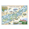

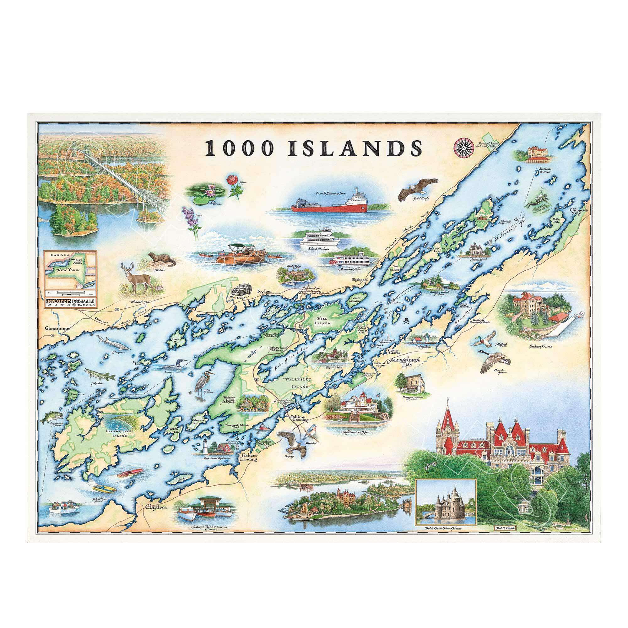
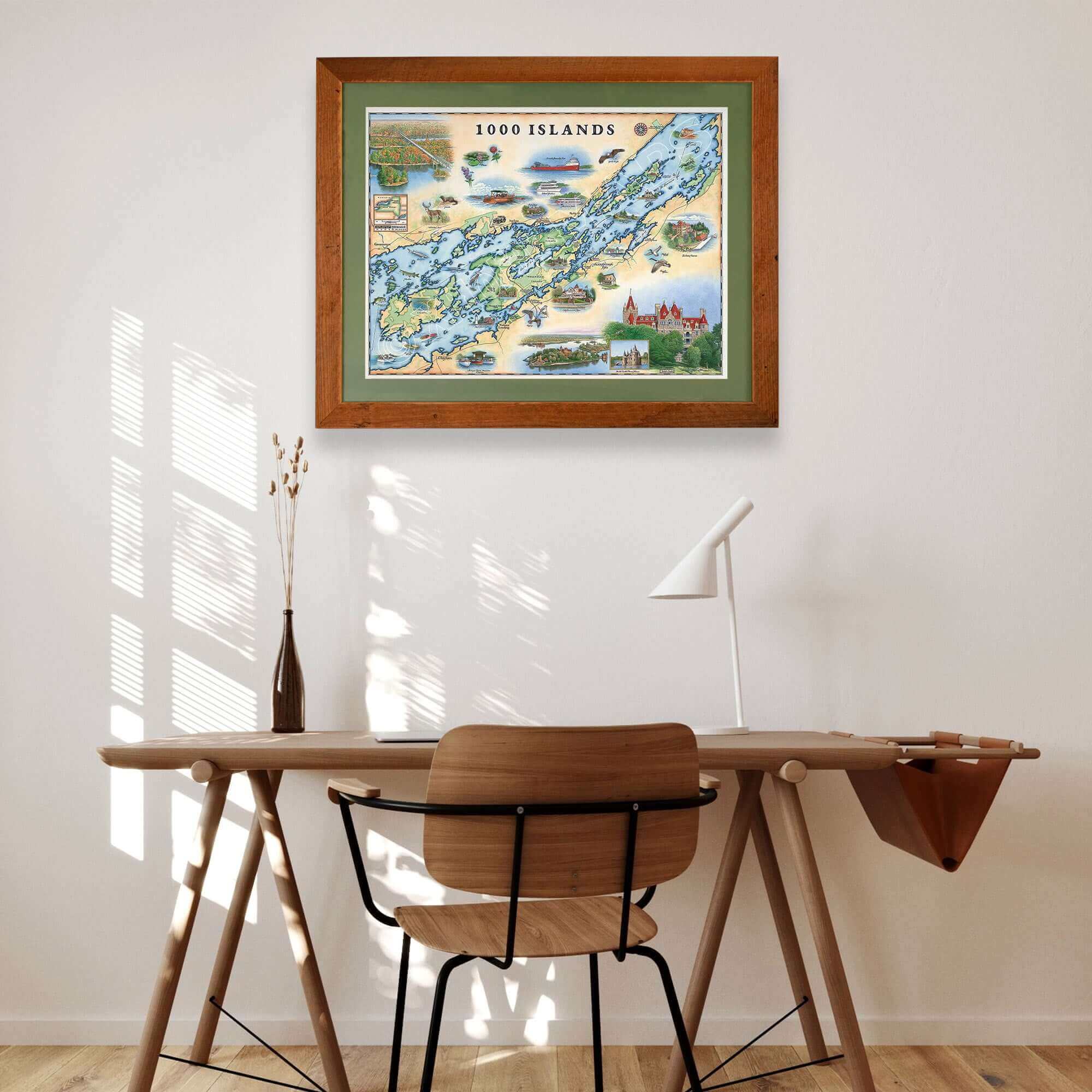
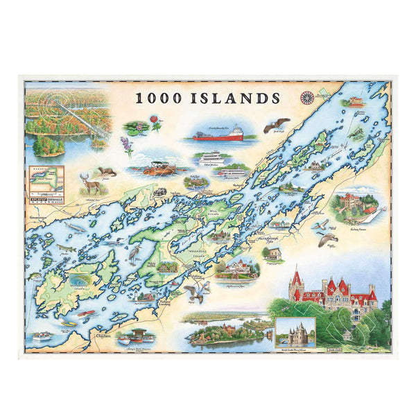
Celebrate the timeless beauty of the 1000 Islands with this 24" × 18" unframed fine art lithograph, featuring an original hand-illustrated map created in pen and ink with watercolor by Xplorer Maps Co-Founder and artist Chris Robitaille.
Stretching along the St. Lawrence River between New York and Ontario, Canada, the 1000 Islands region is famous for its crystal-clear waterways, forested islands, historic castles, and world-class boating. Chris Robitaille's richly detailed illustration captures the spirit of this remarkable destination through a blend of artistic storytelling and cartographic precision.
The map highlights iconic landmarks including Boldt Castle, Singer Castle, Alexandria Bay, Clayton, Gananoque, Rockport, and countless scenic islands connected by winding channels. Historic ships, sailboats, wildlife, and picturesque waterfront communities celebrate the region's rich maritime heritage and enduring appeal.
Whether you've explored the islands by boat, own a lakeside cottage, or simply love the beauty of the St. Lawrence River, this museum-quality lithograph makes a stunning addition to any home, cabin, office, or vacation retreat.
Our on-line store is open 24/7 and we ship Monday through Friday, excluding some holidays. Orders received for products without shipping restrictions on its product page will ship the same business day when received before 12:00 p.m. PST. Orders in high demand will have an estimated production time listed on its product page and will ship according to the date listed.
The Xplorer Maps Warehouse Team strives to ship every order within 1 business day.
For custom orders (including framing), please allow 3-4 weeks for shipping.
Xplorer Maps ships all over the world, but prices and shipping times vary according to state, country, and the weight of items purchased. International recipients are solely responsible for any fees such as, but not limited to, VAT or import duties.
All prices will be charged according to your destination at check-out. This information is shown before your credit card is charged and you can click on the "calculate shipping charges" once an item has been placed in the cart to see the exact shipping based on your zip code.
We ship with UPS and USPS. Expedited shipping options are available at checkout.
Please be aware that despite our prompt shipping, factors beyond our control may occasionally lead to delays in the arrival of your order. For additional questions regarding shipping please email us at: store@xplorermaps.com