



Double click image to zoom in


Click image to open expanded view
Bundle & Save
Hand-Drawn Map Bundle - 4 for $100
$120.00



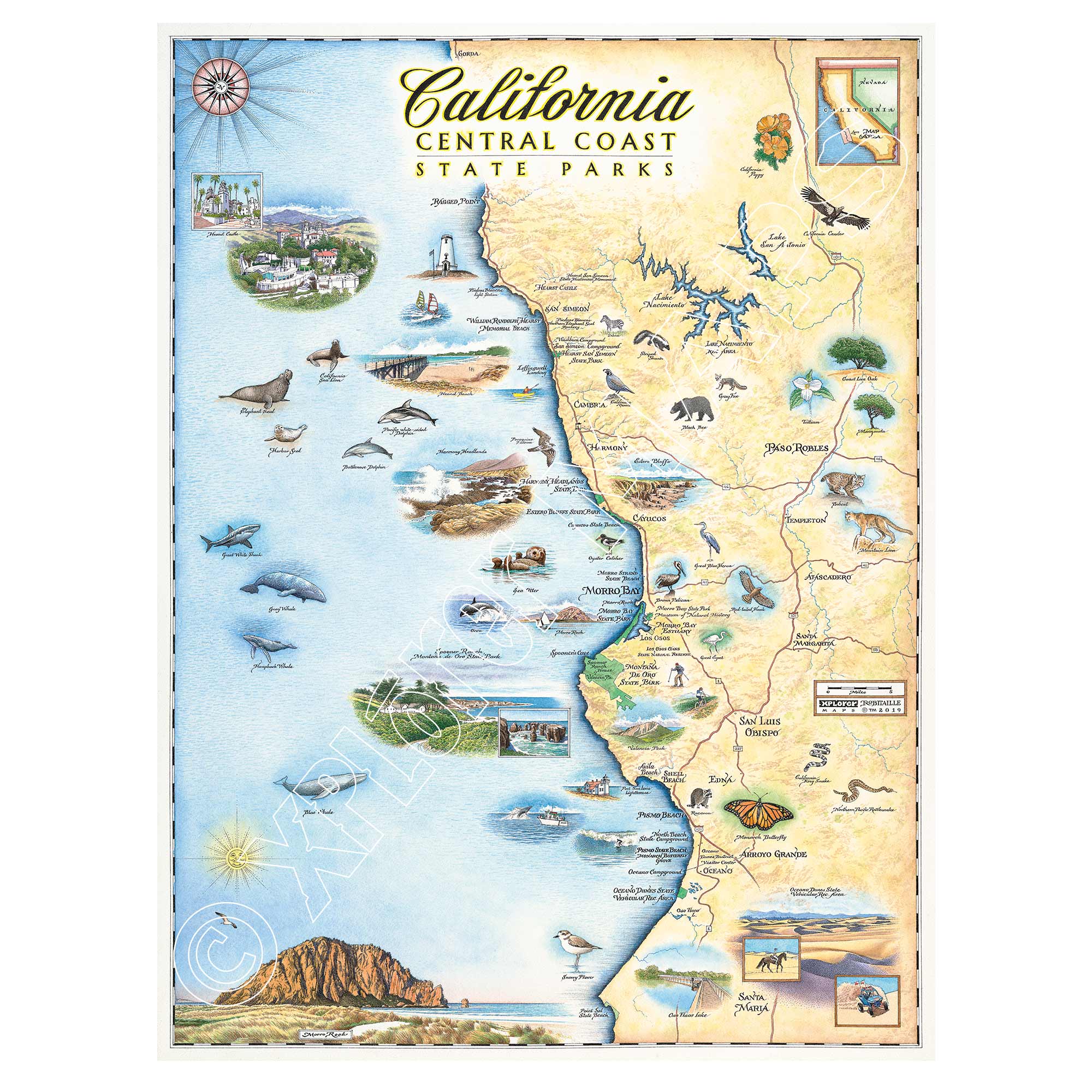
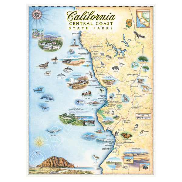
Travel the length of the Golden State with this 18" × 24" unframed fine art lithograph, featuring an original hand-illustrated map of California by Xplorer Maps Co-Founder and artist Chris Robitaille.
Created in pen and ink with watercolor, this richly detailed artwork captures California's incredible diversity—from towering redwood forests and rugged Pacific coastlines to fertile wine country, soaring Sierra Nevada peaks, and iconic desert landscapes. Every illustration invites you to explore one of the world's most celebrated travel destinations.
The map features many of California's most recognizable landmarks, including the Golden Gate Bridge, Yosemite National Park, Sequoia National Park, Redwood National and State Parks, Lake Tahoe, Napa Valley, Big Sur, Death Valley National Park, Joshua Tree National Park, Los Angeles, San Diego, and the scenic Pacific Coast. Native wildlife, marine life, vineyards, towering sequoias, and historic landmarks add depth and character throughout the artwork.
Whether you've road-tripped along Highway 1, explored the national parks, surfed the coast, or simply love the beauty of California, this museum-quality lithograph makes a timeless addition to any home or office.
Our on-line store is open 24/7 and we ship Monday through Friday, excluding some holidays. Orders received for products without shipping restrictions on its product page will ship the same business day when received before 12:00 p.m. PST. Orders in high demand will have an estimated production time listed on its product page and will ship according to the date listed.
The Xplorer Maps Warehouse Team strives to ship every order within 1 business day.
For custom orders (including framing), please allow 3-4 weeks for shipping.
Xplorer Maps ships all over the world, but prices and shipping times vary according to state, country, and the weight of items purchased. International recipients are solely responsible for any fees such as, but not limited to, VAT or import duties.
All prices will be charged according to your destination at check-out. This information is shown before your credit card is charged and you can click on the "calculate shipping charges" once an item has been placed in the cart to see the exact shipping based on your zip code.
We ship with UPS and USPS. Expedited shipping options are available at checkout.
Please be aware that despite our prompt shipping, factors beyond our control may occasionally lead to delays in the arrival of your order. For additional questions regarding shipping please email us at: store@xplorermaps.com