


Bundle & Save
Hand-Drawn Map Bundle - 4 for $100
$120.00


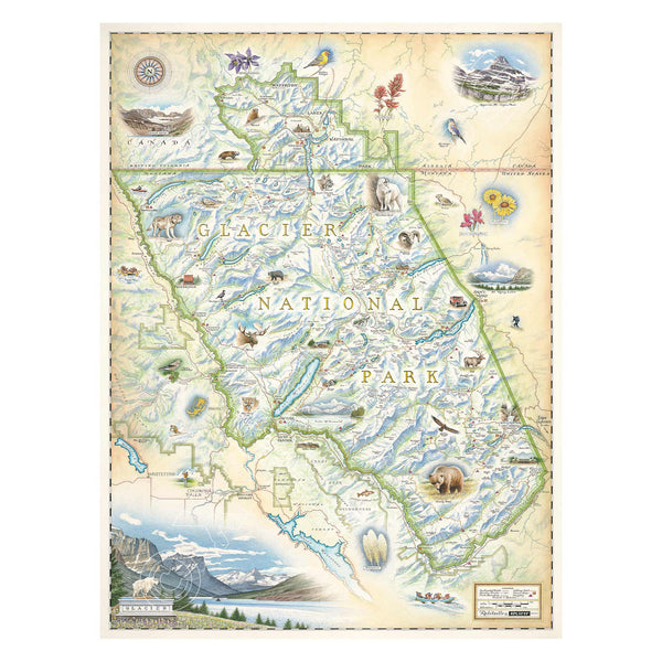
This original hand-drawn pen and ink/watercolor story map captures Glacier National Park, a stunning gem located in northern Montana along the Canadian border. Established in 1910, the park is part of the “Crown of the Continent,” revered by the indigenous Salish/Kootenai and Blackfeet tribes. With 25 active glaciers and breathtaking landscapes, Glacier attracts nearly 3 million visitors annually.
Visitors can marvel at iconic glaciers like Blackfoot and Grinnell Glacier from the scenic Going-to-the-Sun Road. Hiking trails lead to stunning locations such as Lake McDonald and Logan Pass, while the historic "Rubies of the Rockies" red buses offer a unique touring experience. The park is also home to charming communities and wildlife, including moose and grizzly bears. Measuring 18" wide by 24" tall unframed, this lithograph print by Chris Robitaille of Xplorer Maps beautifully encapsulates the park's essence.
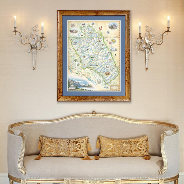
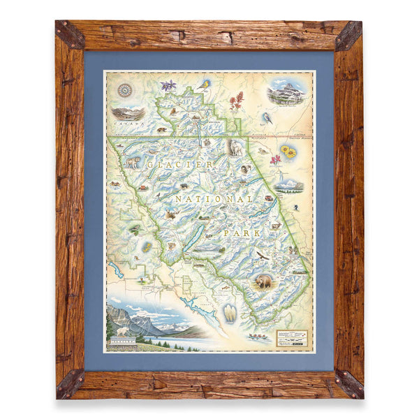
Are you looking for a custom matted and framed piece? Pick from Montana hand-scraped pine or reclaimed Flathead Lake larch. In addition, you can choose between green or blue mats.
* The framed map is for retail purchase only. Xplorer Maps does not offer wholesale pricing on framed maps.
Hand-Scraped Montana Pine - Montana forest-harvested pine frame. For that rustic look, each frame is hand-scraped.
All frames are equipped with conservation clear glass, which is guaranteed to block 99% of ultraviolet rays. Upgrade to Museum glass, which ensures 99% UV protection but also provides ZERO GLARE - this is the quality glass you would find in gallery settings.