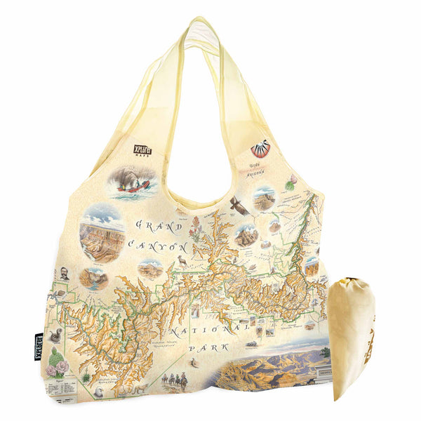
Grand Canyon National Park Map Pouch Tote Bag
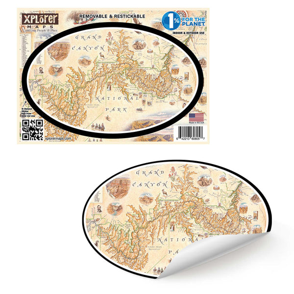
Grand Canyon National Park Map Sticker
Grand Canyon National Park Map UltraLight Sunshirt Hoodie – UPF 50+
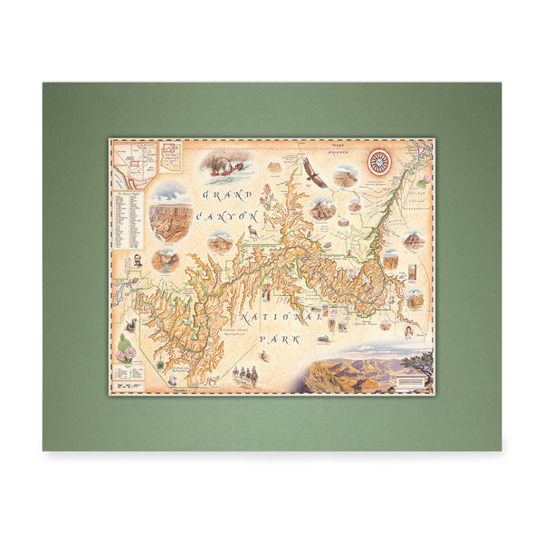
Grand Canyon National Park Mini-Map
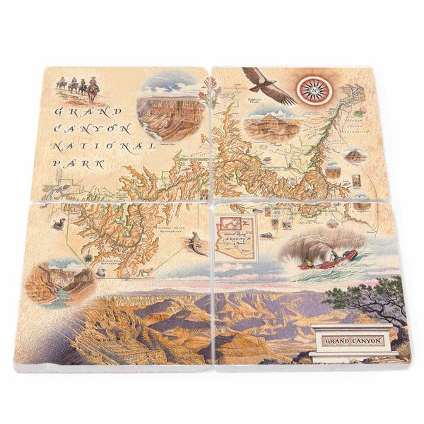
Grand Canyon National Park Natural Stone Coasters - Set of 4
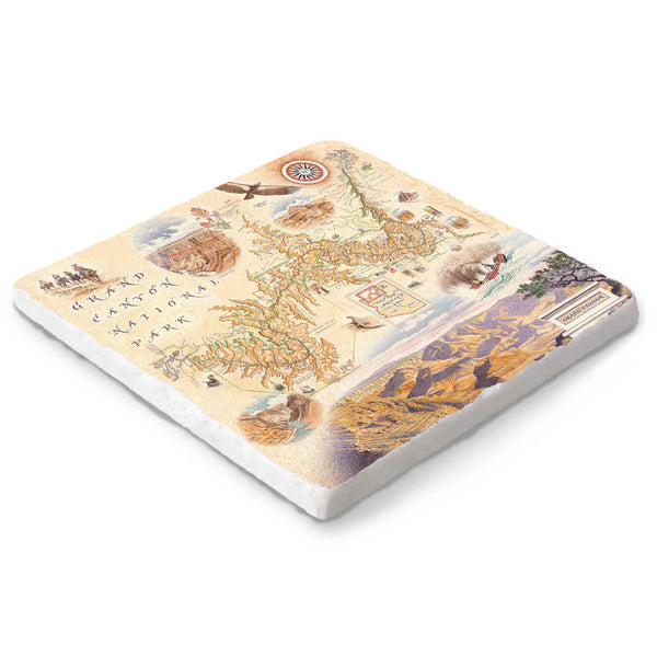
Grand Canyon Natural Stone Trivet
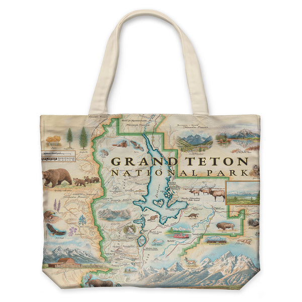
Grand Teton Map Canvas Tote Bag
Grand Teton Map Wood Serving Trays
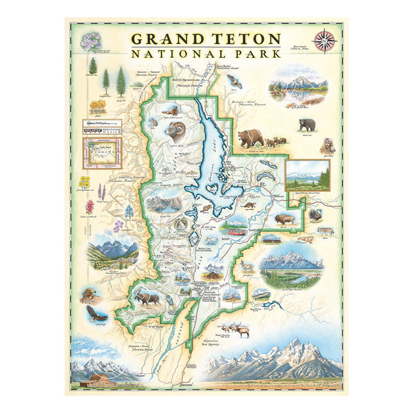
Grand Teton National Park Hand-Drawn Map
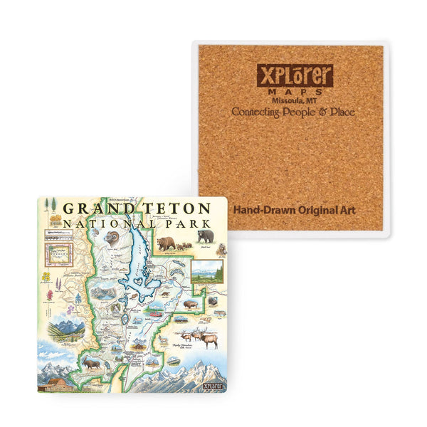
Grand Teton National Park Map Ceramic Coasters
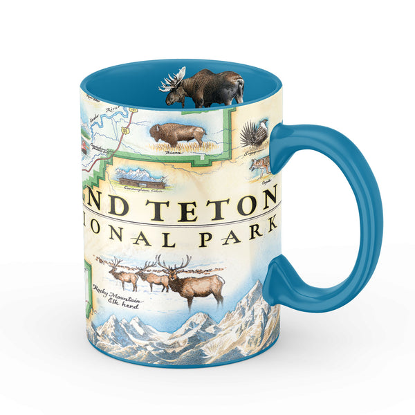
Grand Teton National Park Map Ceramic Mug
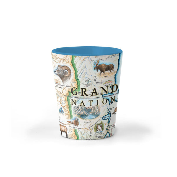
Grand Teton National Park Map Ceramic Shot Glass