

Bundle & Save
Hand-Drawn Map Bundle - 4 for $100
$120.00


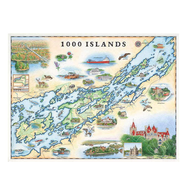
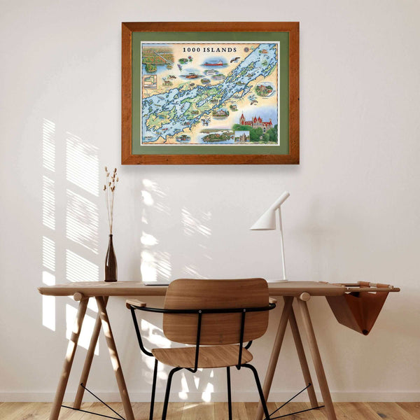
This 24” x 18” unframed lithographic art print features an original hand-illustrated map of the 1000 Islands, created in pen and ink with watercolor by Xplorer Maps artist Chris Robitaille.
Spanning the St. Lawrence River along the border of New York and Ontario, the 1000 Islands region is known for its rocky outcroppings, winding waterways, and storied maritime heritage. The map captures the intricate network of islands that dot the river, weaving together historic landmarks, waterfront communities, and iconic destinations.
From Boldt Castle and Singer Castle to scenic boating channels and forested shorelines, the composition reflects the region’s blend of Gilded Age history and natural beauty. Sailboats, river currents, and island silhouettes add movement and character, honoring the area’s long-standing boating and summer traditions.
Blending cartographic precision with artistic storytelling, this piece serves as a meaningful tribute for boaters, river travelers, cottage owners, and collectors of waterfront destinations.
Dimensions: 24” × 18”
Orientation: Horizontal
Print Type: Fine art lithograph
Artwork by: Chris Robitaille, Co-Founder of Xplorer Maps
Ships: Rolled in protective tube