

Double click image to zoom in

Click image to open expanded view
Bundle & Save
Hand-Drawn Map Bundle - 4 for $100
$120.00


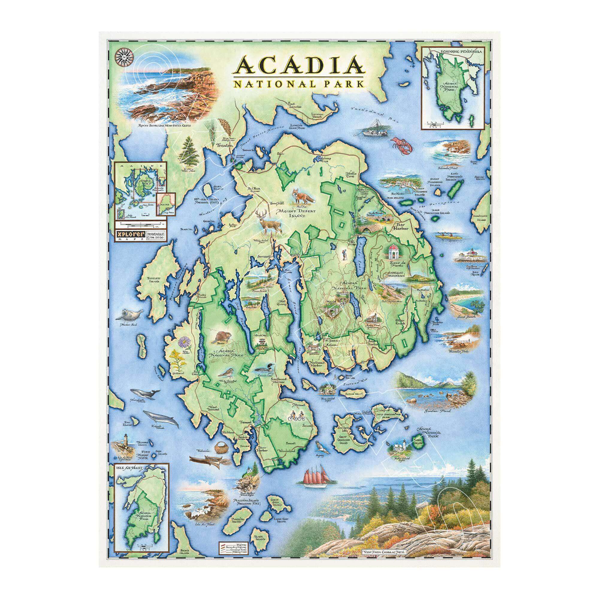
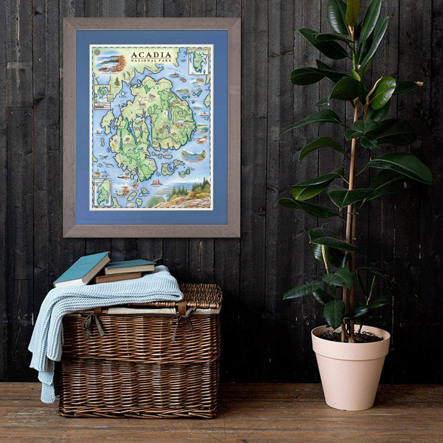
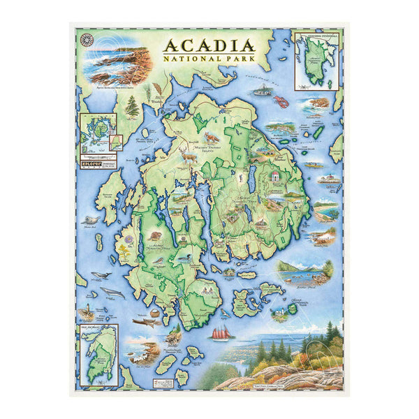
Celebrate the rugged beauty of Maine's legendary coastline with this 18" × 24" unframed fine art lithograph, featuring an original hand-illustrated map of Acadia National Park by Xplorer Maps Co-Founder and artist Chris Robitaille.
Created in pen and ink with watercolor, this richly detailed artwork captures the breathtaking landscapes that make Acadia one of America's most beloved national parks. From the granite summit of Cadillac Mountain—the first place to see the sunrise in the United States for much of the year—to the dramatic cliffs of Otter Point, Thunder Hole, Jordan Pond, Bass Harbor Head Lighthouse, and the historic Carriage Roads, every illustration invites you to explore Mount Desert Island.
The map also celebrates Acadia's abundant wildlife and maritime heritage with whales, puffins, seals, deer, lobster boats, sailing vessels, and the rocky Atlantic shoreline that define this extraordinary destination.
Whether you've hiked Acadia's scenic trails, biked the carriage roads, paddled Frenchman Bay, or simply dream of visiting coastal Maine, this museum-quality lithograph is a beautiful keepsake for any home, cabin, or office.
Our on-line store is open 24/7 and we ship Monday through Friday, excluding some holidays. Orders received for products without shipping restrictions on its product page will ship the same business day when received before 12:00 p.m. PST. Orders in high demand will have an estimated production time listed on its product page and will ship according to the date listed.
The Xplorer Maps Warehouse Team strives to ship every order within 1 business day.
For custom orders (including framing), please allow 3-4 weeks for shipping.
Xplorer Maps ships all over the world, but prices and shipping times vary according to state, country, and the weight of items purchased. International recipients are solely responsible for any fees such as, but not limited to, VAT or import duties.
All prices will be charged according to your destination at check-out. This information is shown before your credit card is charged and you can click on the "calculate shipping charges" once an item has been placed in the cart to see the exact shipping based on your zip code.
We ship with UPS and USPS. Expedited shipping options are available at checkout.
Please be aware that despite our prompt shipping, factors beyond our control may occasionally lead to delays in the arrival of your order. For additional questions regarding shipping please email us at: store@xplorermaps.com