


Double click image to zoom in


Click image to open expanded view
Bundle & Save
Hand-Drawn Map Bundle - 4 for $100
$120.00


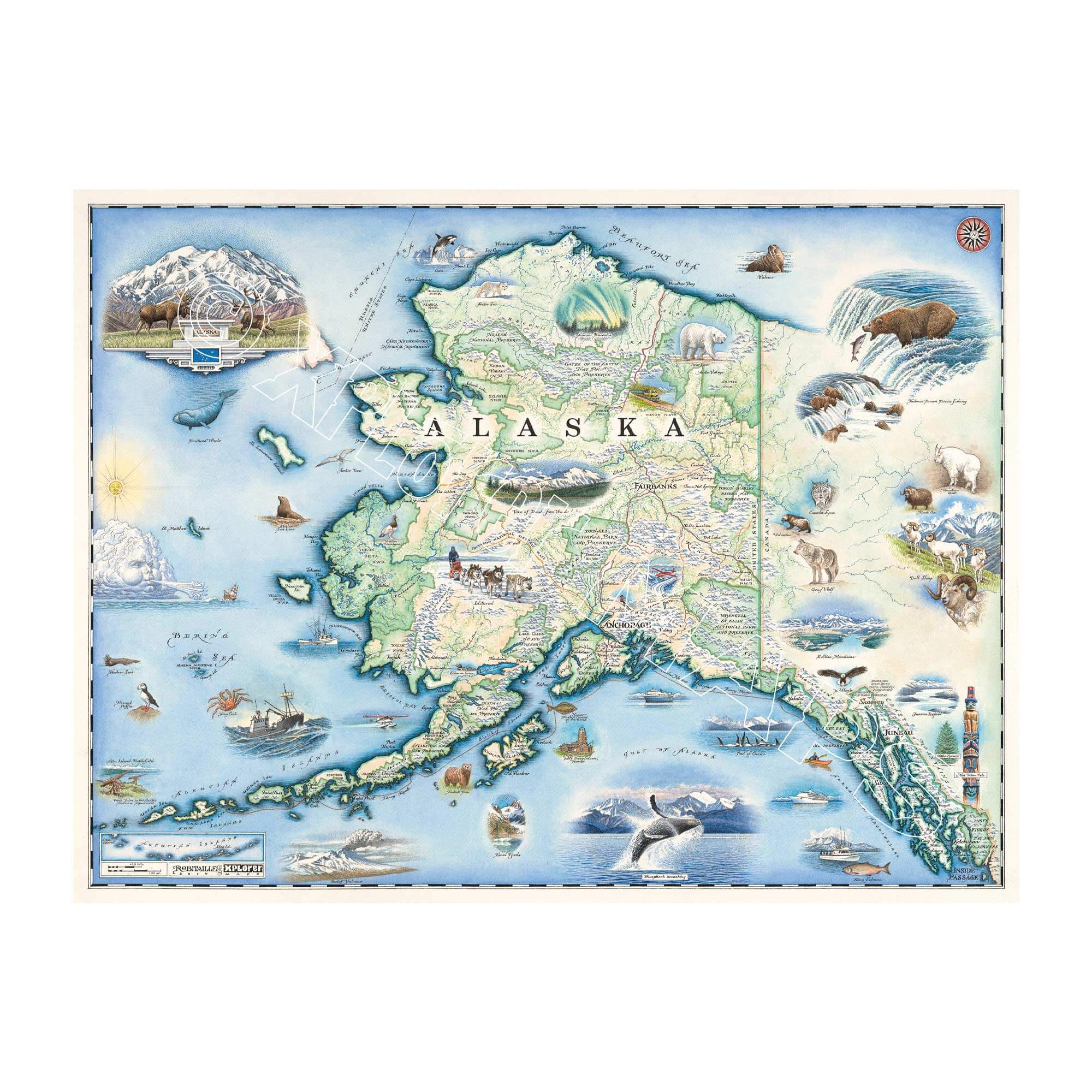
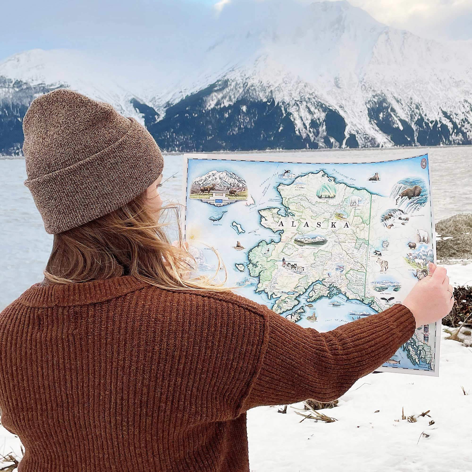
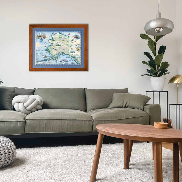
This 24” x 18” unframed lithographic art print features an original hand-illustrated map of Alaska, created in pen and ink with watercolor by Xplorer Maps artist Chris Robitaille.
Spanning vast wilderness from temperate rainforests to Arctic tundra, Alaska’s immense scale and ecological diversity are captured in detailed cartographic storytelling. Major cities including Anchorage, Fairbanks, and Juneau are thoughtfully integrated into the composition, reflecting the human presence within an overwhelmingly wild landscape.
The map highlights the 500-mile Inside Passage, a legendary coastal route weaving through fjords and island chains. The Aleutian Islands stretch westward into the Pacific, home to abundant seabirds and active volcanoes such as Pavlof. Katmai National Park, known for its iconic brown bears, and Denali National Park — anchored by North America’s tallest peak — define the state’s dramatic interior.
The historic Iditarod Trail traces Alaska’s frontier heritage, while the Arctic region illustrates unique wildlife including polar bears, arctic foxes, and migratory species adapted to extreme conditions.
Blending cartographic precision with artistic storytelling, this piece captures Alaska’s rugged terrain, expansive skies, and untamed ecosystems — a tribute to one of the most awe-inspiring landscapes on Earth.
Product Details
Dimensions: 24” × 18”
Orientation: Vertical
Print Type: Fine art lithograph
Artwork by: Chris Robitaille, Co-Founder of Xplorer Maps
Ships rolled in protective tube
Our on-line store is open 24/7 and we ship Monday through Friday, excluding some holidays. Orders received for products without shipping restrictions on its product page will ship the same business day when received before 12:00 p.m. PST. Orders in high demand will have an estimated production time listed on its product page and will ship according to the date listed.
The Xplorer Maps Warehouse Team strives to ship every order within 1 business day.
For custom orders (including framing), please allow 3-4 weeks for shipping.
Xplorer Maps ships all over the world, but prices and shipping times vary according to state, country, and the weight of items purchased. International recipients are solely responsible for any fees such as, but not limited to, VAT or import duties.
All prices will be charged according to your destination at check-out. This information is shown before your credit card is charged and you can click on the "calculate shipping charges" once an item has been placed in the cart to see the exact shipping based on your zip code.
We ship with UPS and USPS. Expedited shipping options are available at checkout.
Please be aware that despite our prompt shipping, factors beyond our control may occasionally lead to delays in the arrival of your order. For additional questions regarding shipping please email us at: store@xplorermaps.com