


Double click image to zoom in

Click image to open expanded view
Bundle & Save
Hand-Drawn Map Bundle - 4 for $100
$120.00


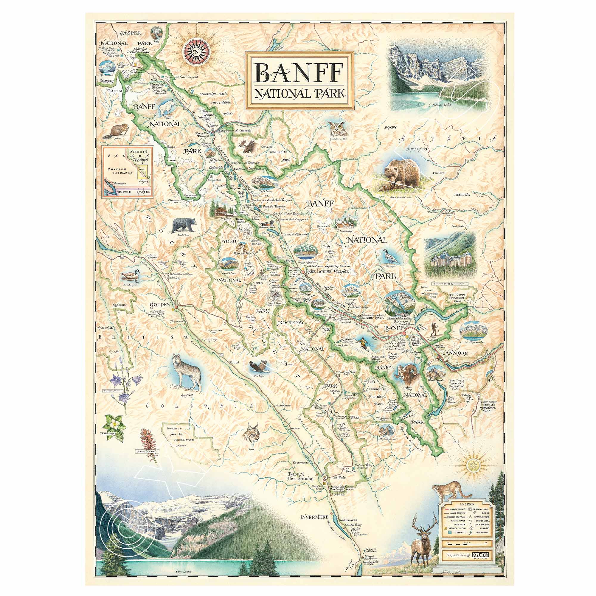
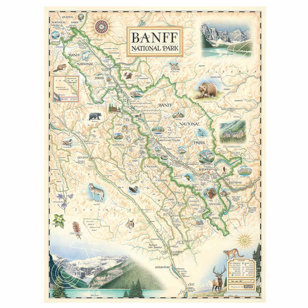
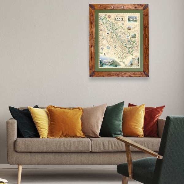
Experience the breathtaking beauty of the Canadian Rockies with this 18" × 24" unframed fine art lithograph, featuring an original hand-illustrated map of Banff National Park by Xplorer Maps Co-Founder and artist Chris Robitaille.
Created in pen and ink with watercolor, this richly detailed artwork showcases Canada's first national park and one of the world's most spectacular mountain destinations. Towering peaks, turquoise glacial lakes, winding rivers, and abundant wildlife are brought together through Chris Robitaille's signature blend of artistic storytelling and cartographic detail.
The map features many of Banff's most iconic destinations, including Lake Louise, Moraine Lake, Banff Townsite, Bow Valley Parkway, Johnston Canyon, Icefields Parkway, Peyto Lake, Sunshine Village, and neighboring Yoho, Kootenay, and Jasper National Parks. Native wildlife—including grizzly bears, wolves, elk, bighorn sheep, mountain goats, bald eagles, and cougars—adds life to this unforgettable mountain landscape.
Whether you've hiked alpine trails, skied world-renowned slopes, paddled glacier-fed lakes, or simply dream of visiting the Canadian Rockies, this museum-quality lithograph is a timeless keepsake for any home, cabin, or office.
Our on-line store is open 24/7 and we ship Monday through Friday, excluding some holidays. Orders received for products without shipping restrictions on its product page will ship the same business day when received before 12:00 p.m. PST. Orders in high demand will have an estimated production time listed on its product page and will ship according to the date listed.
The Xplorer Maps Warehouse Team strives to ship every order within 1 business day.
For custom orders (including framing), please allow 3-4 weeks for shipping.
Xplorer Maps ships all over the world, but prices and shipping times vary according to state, country, and the weight of items purchased. International recipients are solely responsible for any fees such as, but not limited to, VAT or import duties.
All prices will be charged according to your destination at check-out. This information is shown before your credit card is charged and you can click on the "calculate shipping charges" once an item has been placed in the cart to see the exact shipping based on your zip code.
We ship with UPS and USPS. Expedited shipping options are available at checkout.
Please be aware that despite our prompt shipping, factors beyond our control may occasionally lead to delays in the arrival of your order. For additional questions regarding shipping please email us at: store@xplorermaps.com