


Double click image to zoom in
Click image to open expanded view
Bundle & Save
Hand-Drawn Map Bundle - 4 for $100
$120.00


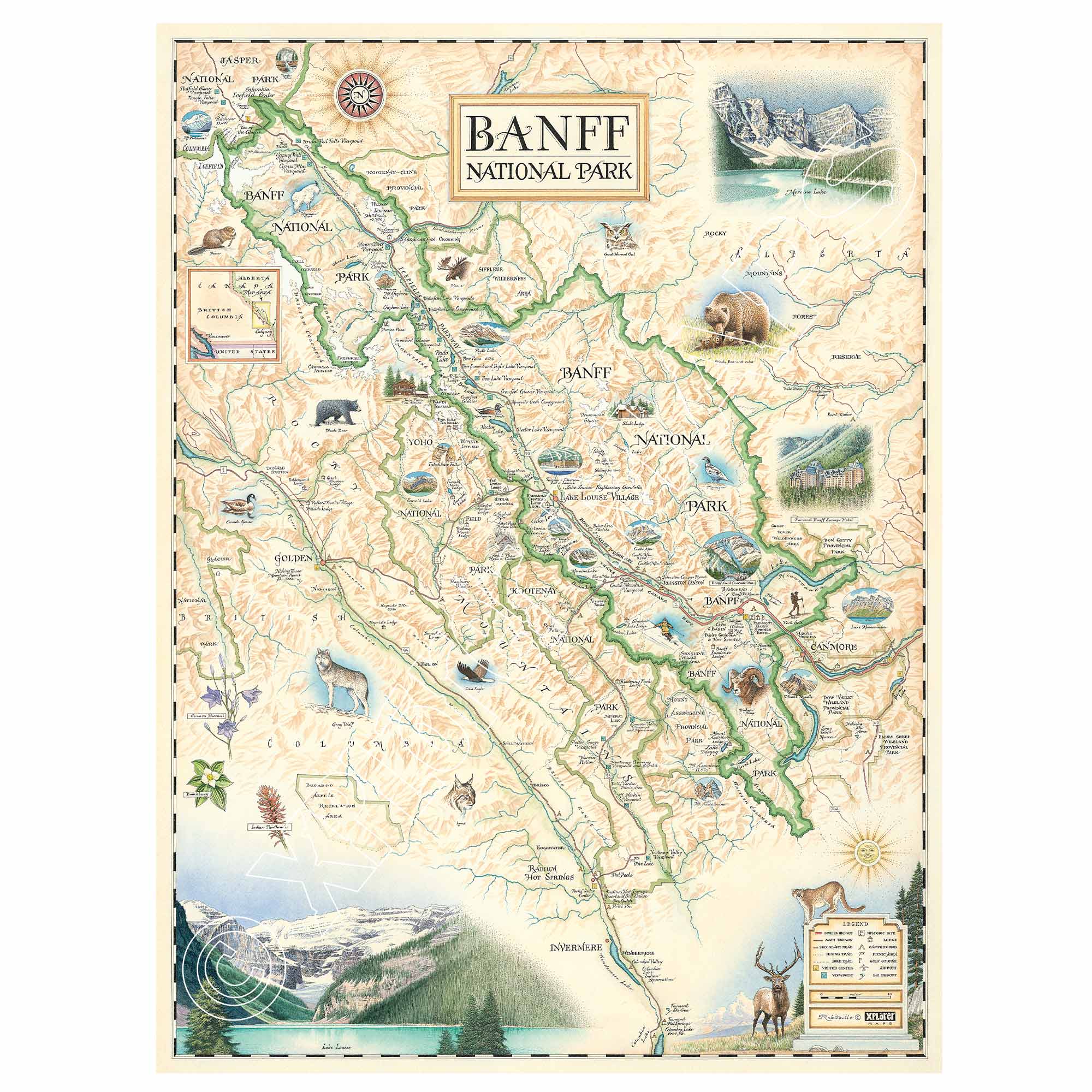
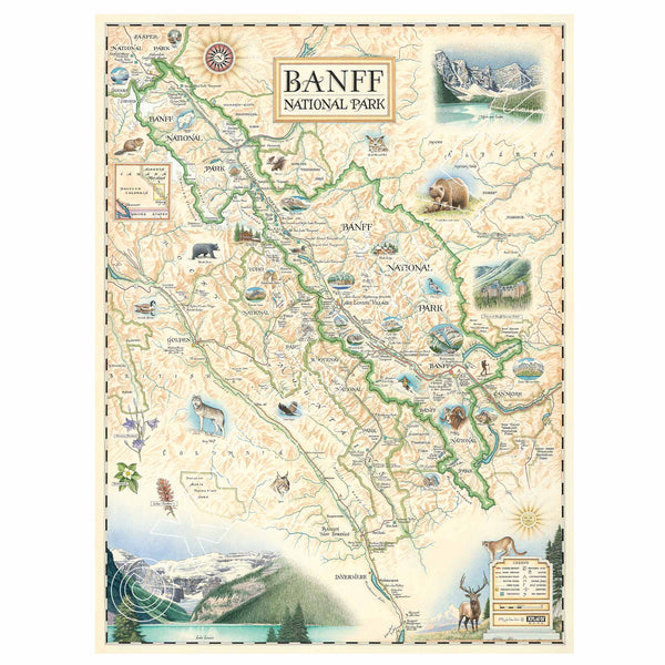
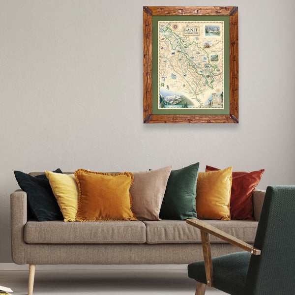
This 18” x 24” unframed lithographic art print features an original hand-illustrated map of Banff National Park, created in pen and ink with watercolor by Xplorer Maps artist Chris Robitaille.
Located in southwest Alberta, approximately 81 miles west of Calgary, Banff is Canada’s oldest and most-visited national park. Spanning 2,564 square miles within the Canadian Rockies, the park is defined by turquoise glacial lakes, towering alpine peaks, and expansive wilderness.
The map highlights iconic destinations including Lake Louise, Moraine Lake, and Emerald Lake, along with nearly 1,000 miles of hiking trails that weave through valleys and high mountain passes. Notable summits such as Mount Rundle and Mount Assiniboine rise dramatically from the landscape, while landmarks like the Fairmont Banff Springs Hotel reflect the region’s historic alpine tourism heritage.
The Icefields Parkway is woven into the composition, tracing one of North America’s most scenic drives through the Columbia Icefield and surrounding glaciers.
Banff’s subarctic climate supports a remarkable array of wildlife, including elk, grizzly bears, mountain goats, and bald eagles, reinforcing the park’s ecological richness.
Blending cartographic precision with artistic storytelling, this piece captures the scale, color, and grandeur of the Canadian Rockies.
Product Details
Dimensions: 18” × 24”
Orientation: Vertical
Print Type: Fine art lithograph
Artwork by: Chris Robitaille, Co-Founder of Xplorer Maps
Ships rolled in protective tube
Our on-line store is open 24/7 and we ship Monday through Friday, excluding some holidays. Orders received for products without shipping restrictions on its product page will ship the same business day when received before 12:00 p.m. PST. Orders in high demand will have an estimated production time listed on its product page and will ship according to the date listed.
The Xplorer Maps Warehouse Team strives to ship every order within 1 business day.
For custom orders (including framing), please allow 3-4 weeks for shipping.
Xplorer Maps ships all over the world, but prices and shipping times vary according to state, country, and the weight of items purchased. International recipients are solely responsible for any fees such as, but not limited to, VAT or import duties.
All prices will be charged according to your destination at check-out. This information is shown before your credit card is charged and you can click on the "calculate shipping charges" once an item has been placed in the cart to see the exact shipping based on your zip code.
We ship with UPS and USPS. Expedited shipping options are available at checkout.
Please be aware that despite our prompt shipping, factors beyond our control may occasionally lead to delays in the arrival of your order. For additional questions regarding shipping please email us at: store@xplorermaps.com