


Double click image to zoom in


Click image to open expanded view
Bundle & Save
Hand-Drawn Map Bundle - 4 for $100
$120.00


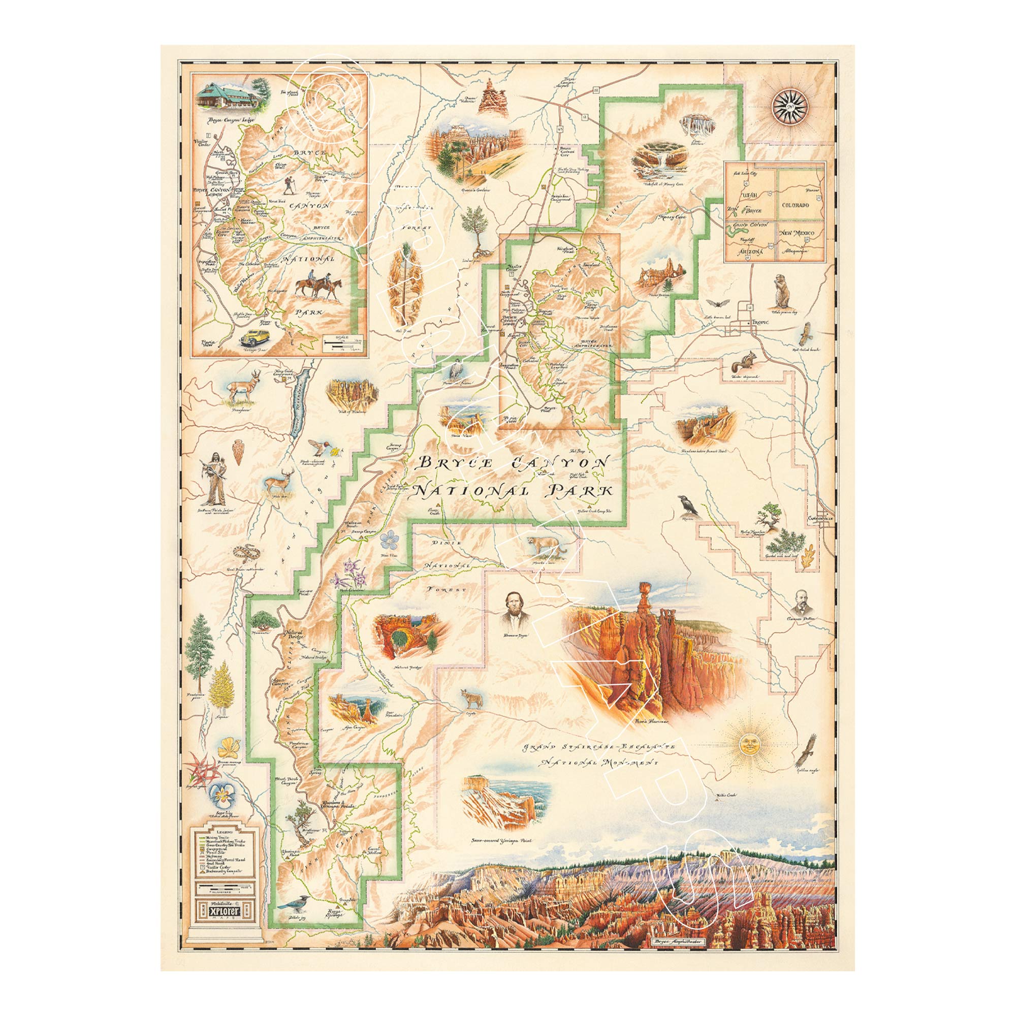
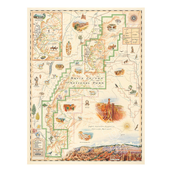
Step into the remarkable landscape of Bryce Canyon National Park with this 18" × 24" unframed fine art lithograph, featuring an original hand-illustrated map by Xplorer Maps Co-Founder and artist Chris Robitaille.
Created in pen and ink with watercolor, this richly detailed artwork captures the colorful cliffs, towering hoodoos, and sweeping vistas that have made Bryce Canyon one of America's most recognizable national parks. Chris Robitaille's signature illustration style combines artistic storytelling with cartographic precision, inviting viewers to explore every corner of this high-elevation wonderland.
The map highlights many of Bryce Canyon's most iconic locations, including Bryce Amphitheater, Sunrise Point, Sunset Point, Inspiration Point, Bryce Point, Rainbow Point, Natural Bridge, Fairyland Loop, and scenic overlooks throughout the park. Native wildlife—including mule deer, pronghorn, ravens, golden eagles, mountain lions, and Utah prairie dogs—shares the landscape alongside the park's distinctive hoodoos and colorful rock formations.
Whether you've watched the sunrise paint the canyon walls, hiked among the hoodoos, or are planning your next adventure, this museum-quality lithograph is a beautiful tribute to one of Utah's most extraordinary landscapes.
Our on-line store is open 24/7 and we ship Monday through Friday, excluding some holidays. Orders received for products without shipping restrictions on its product page will ship the same business day when received before 12:00 p.m. PST. Orders in high demand will have an estimated production time listed on its product page and will ship according to the date listed.
The Xplorer Maps Warehouse Team strives to ship every order within 1 business day.
For custom orders (including framing), please allow 3-4 weeks for shipping.
Xplorer Maps ships all over the world, but prices and shipping times vary according to state, country, and the weight of items purchased. International recipients are solely responsible for any fees such as, but not limited to, VAT or import duties.
All prices will be charged according to your destination at check-out. This information is shown before your credit card is charged and you can click on the "calculate shipping charges" once an item has been placed in the cart to see the exact shipping based on your zip code.
We ship with UPS and USPS. Expedited shipping options are available at checkout.
Please be aware that despite our prompt shipping, factors beyond our control may occasionally lead to delays in the arrival of your order. For additional questions regarding shipping please email us at: store@xplorermaps.com