


Double click image to zoom in


Click image to open expanded view
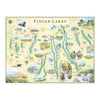

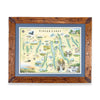
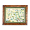
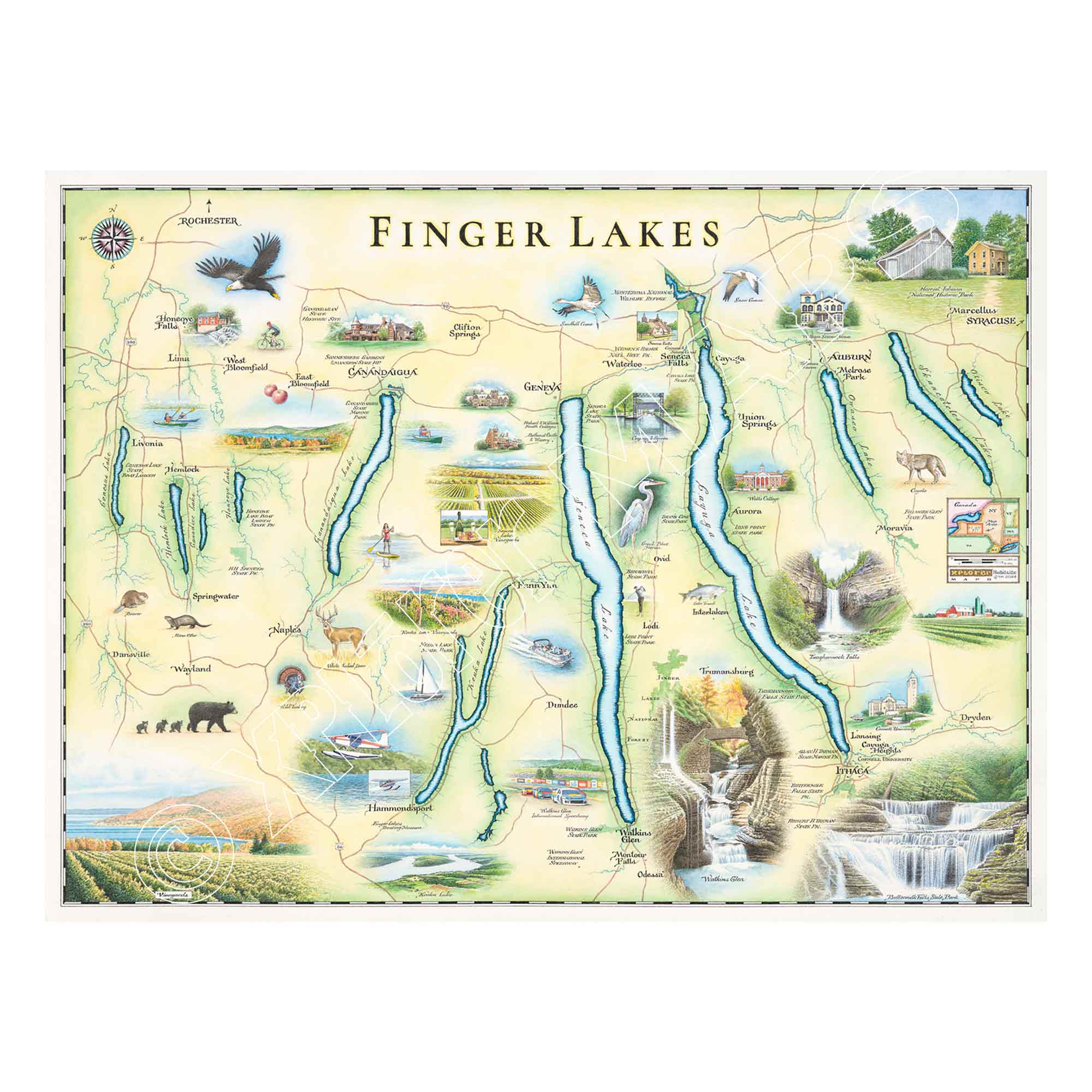
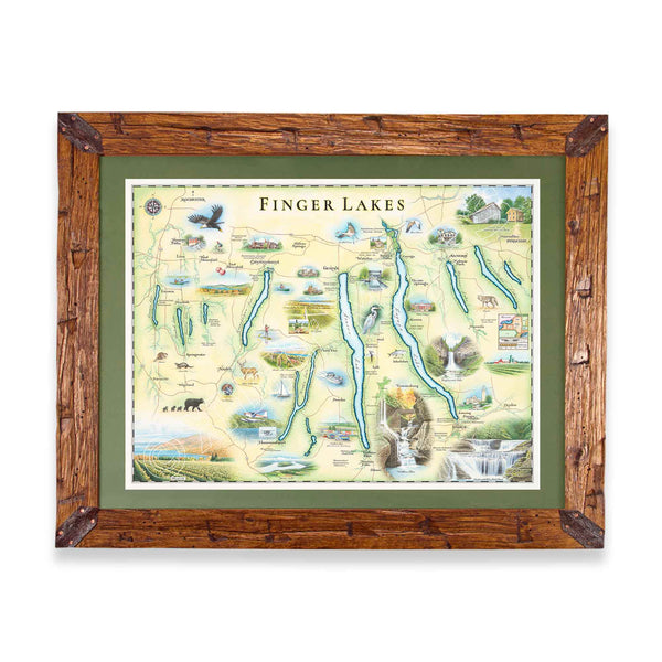
This 24” x 18” unframed lithographic art print features an original hand-illustrated map of New York’s Finger Lakes, created in pen and ink with watercolor by Xplorer Maps artist Chris Robitaille.
Carved by glaciers and defined by eleven long, narrow lakes, the Finger Lakes region is known for its rolling vineyards, waterfall-lined gorges, and charming lakeside towns. This artwork captures the geographic rhythm of Seneca, Cayuga, Keuka, Skaneateles, and the surrounding waterways, weaving together the landscapes that make the region so distinctive.
Iconic destinations such as Watkins Glen State Park — famous for its dramatic gorge and waterfalls — are thoughtfully illustrated alongside historic communities and celebrated wine country. From hiking trails and boating routes to vineyard vistas and small-town main streets, the composition reflects both the natural beauty and cultural richness of the Finger Lakes.
Blending cartographic accuracy with artistic detail, this piece serves as a meaningful tribute for residents, travelers, wine enthusiasts, and collectors of place-based art.
Dimensions: 24” × 18”
Orientation: Horizontal
Print Type: Fine art lithograph
Artwork by: Chris Robitaille, Co-Founder of Xplorer Maps
Ships: Rolled in protective tube
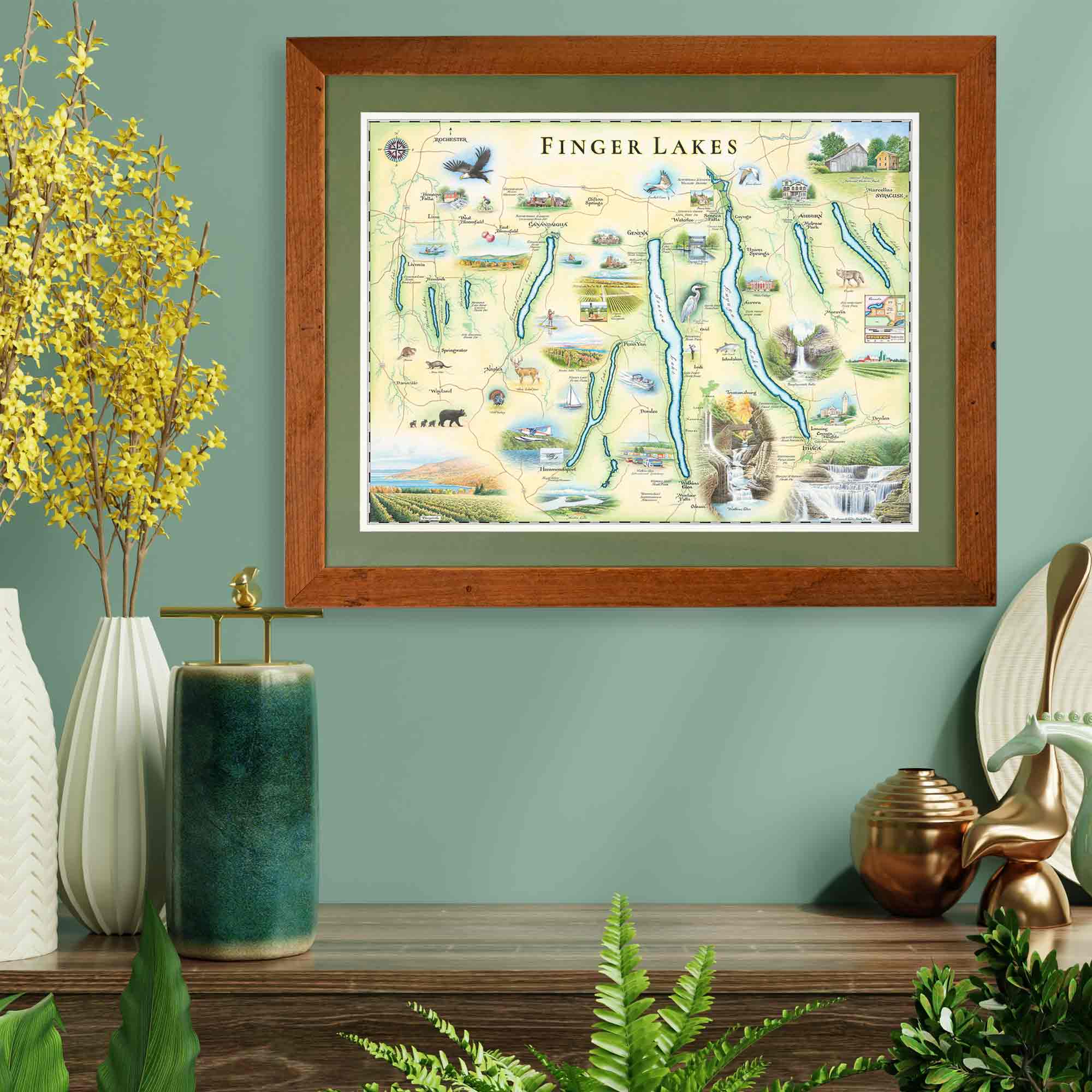
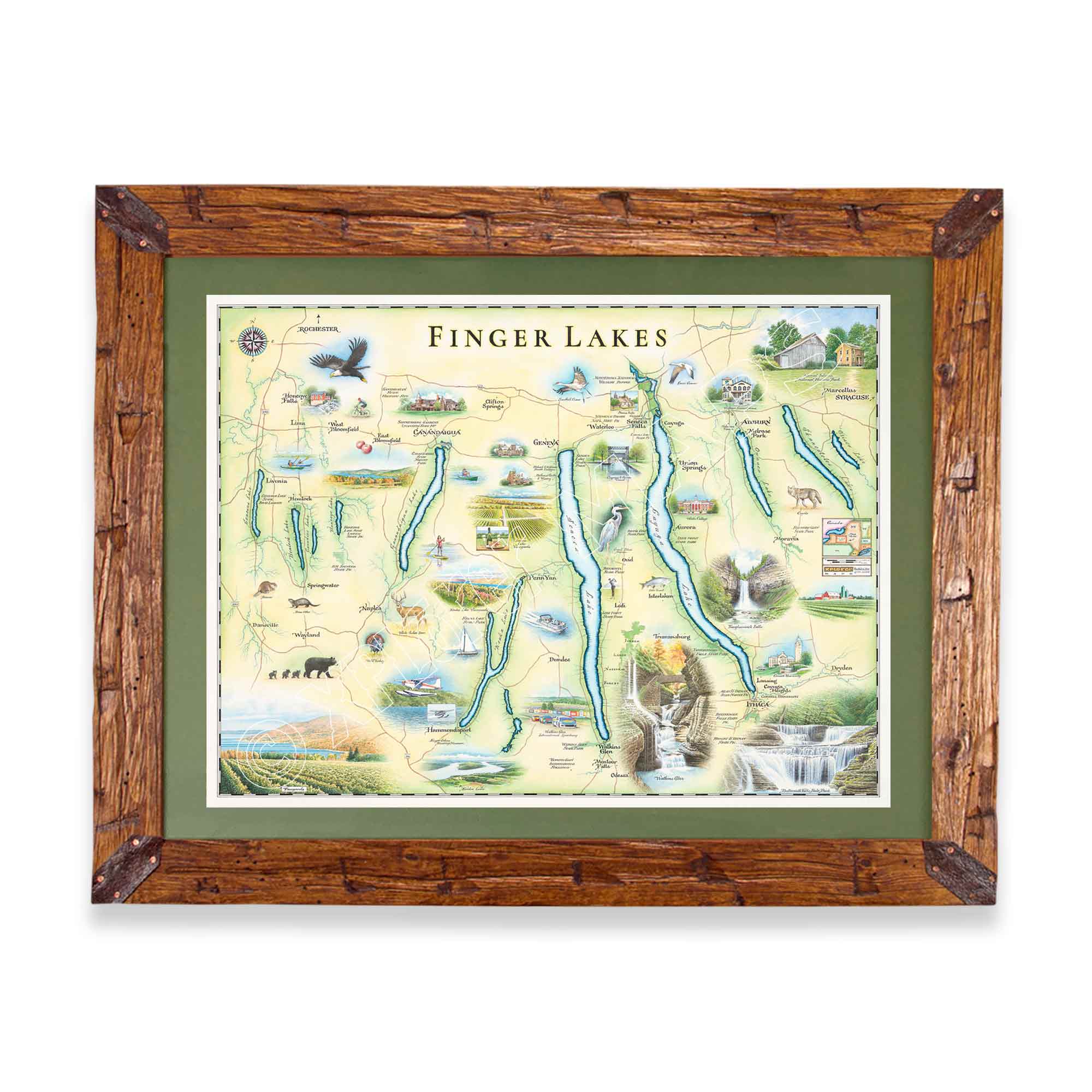
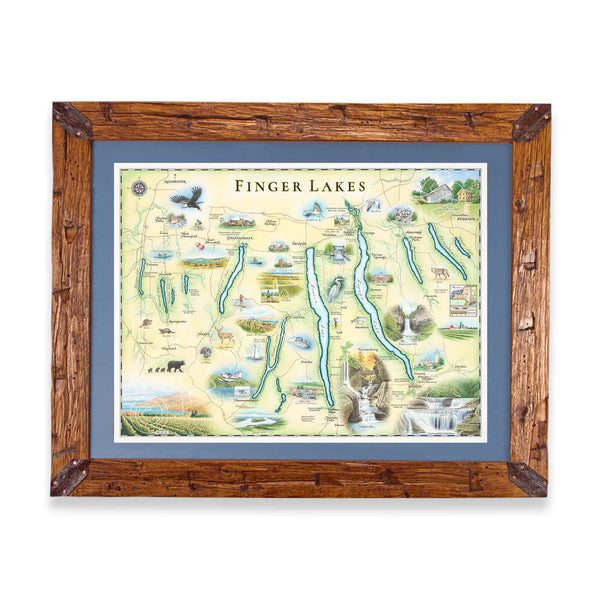
Create a finished, gallery-ready piece with:
Hand-Scraped Montana Pine
Montana forest-harvested pine, hand-scraped for a rustic heirloom finish.
All frames include conservation clear glass, blocking 99% of ultraviolet rays to protect your artwork.
Upgrade to Museum Glass for 99% UV protection with zero glare — the same premium clarity used in professional gallery settings.
Our on-line store is open 24/7 and we ship Monday through Friday, excluding some holidays. Orders received for products without shipping restrictions on its product page will ship the same business day when received before 12:00 p.m. PST. Orders in high demand will have an estimated production time listed on its product page and will ship according to the date listed.
The Xplorer Maps Warehouse Team strives to ship every order within 1 business day.
For custom orders (including framing), please allow 3-4 weeks for shipping.
Xplorer Maps ships all over the world, but prices and shipping times vary according to state, country, and the weight of items purchased. International recipients are solely responsible for any fees such as, but not limited to, VAT or import duties.
All prices will be charged according to your destination at check-out. This information is shown before your credit card is charged and you can click on the "calculate shipping charges" once an item has been placed in the cart to see the exact shipping based on your zip code.
We ship with UPS and USPS. Expedited shipping options are available at checkout.
Please be aware that despite our prompt shipping, factors beyond our control may occasionally lead to delays in the arrival of your order. For additional questions regarding shipping please email us at: store@xplorermaps.com