

Bundle & Save
Hand-Drawn Map Bundle - 4 for $100
$120.00

Buy a Blanket, Give a Blanket is here! This Memorial Day, for every blanket purchased, we’ll donate a USA blanket to a veteran in need. 🇺🇸

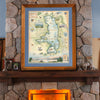
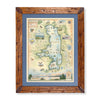

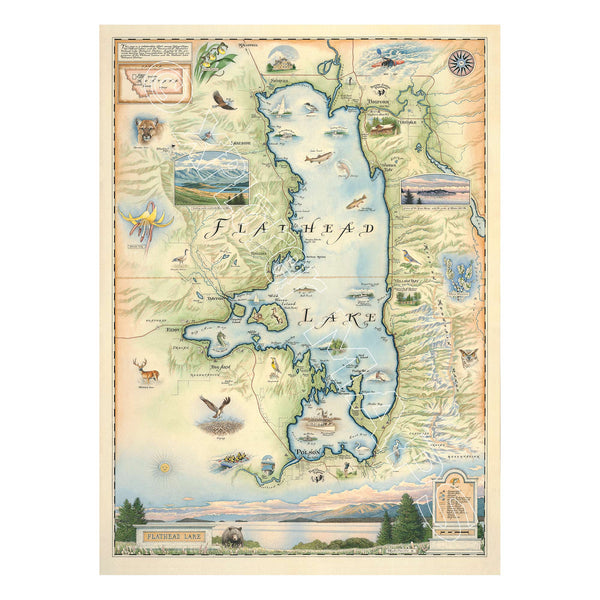
This 18” x 24” unframed lithographic art print features an original hand-illustrated map of Flathead Lake, created in pen and ink with watercolor by Xplorer Maps artist Chris Robitaille.
Set against the backdrop of the Mission Mountain Range in northwestern Montana, Flathead Lake is one of the largest natural freshwater lakes west of the Mississippi. The map captures the lake’s sweeping shoreline, mountain vistas, and proximity to the Swan Valley and Glacier National Park.
Northern communities including Kalispell, Somers — home to the historic Somers Mansion — and Bigfork are thoughtfully integrated into the composition. To the south, Polson sits along the shores within the Flathead Reservation of the Confederated Salish and Kootenai Tribes, reflecting the cultural depth of the region.
The artwork highlights the lake’s recreational identity — boating, water skiing, kayaking, fishing, and lakeside hiking — while celebrating native wildlife and bird species such as meadowlarks, lake trout, and bald eagles.
This map represents more than a landscape — it is part of a stewardship initiative. Created in collaboration with Flathead Lakers and the University of Montana’s Flathead Lake Biological Station, the project raises awareness and funds to protect water quality and support long-term lake conservation. Since 2012, 300 signed limited edition Giclée prints have generated over $16,000 for monitoring and community education efforts. Lithographic editions remain available.
Blending cartographic precision with environmental purpose, this piece captures the beauty and responsibility tied to one of Montana’s most cherished waterways.
Product Details
Dimensions: 18” × 24”
Orientation: Vertical
Print Type: Fine art lithograph
Artwork by: Chris Robitaille, Co-Founder of Xplorer Maps
Ships rolled in protective tube
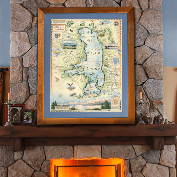
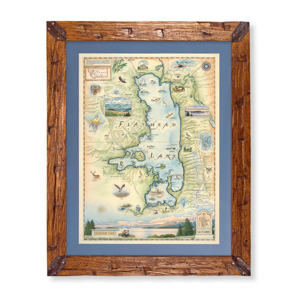
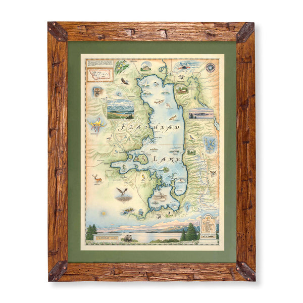
Custom Framing Options
Reclaimed Flathead Lake Larch Frame
Crafted from over 100-year-old reclaimed larch logs recovered from Flathead Lake, Montana and transformed into exclusive heritage wood frames.
Hand-Scraped Montana Pine Frame
Montana forest-harvested pine, hand-scraped for a rustic heirloom finish.
Mat Options
Available in green or blue.
All framed pieces include conservation clear glass, blocking 99% of UV rays to protect your artwork. Upgrade to Museum Glass for 99% UV protection with zero glare — gallery-quality clarity.