


Double click image to zoom in

Click image to open expanded view
Bundle & Save
Hand-Drawn Map Bundle - 4 for $100
$120.00


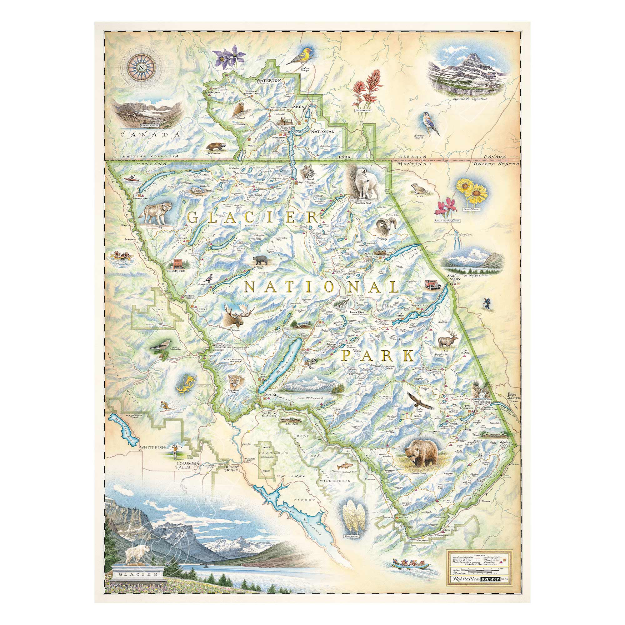
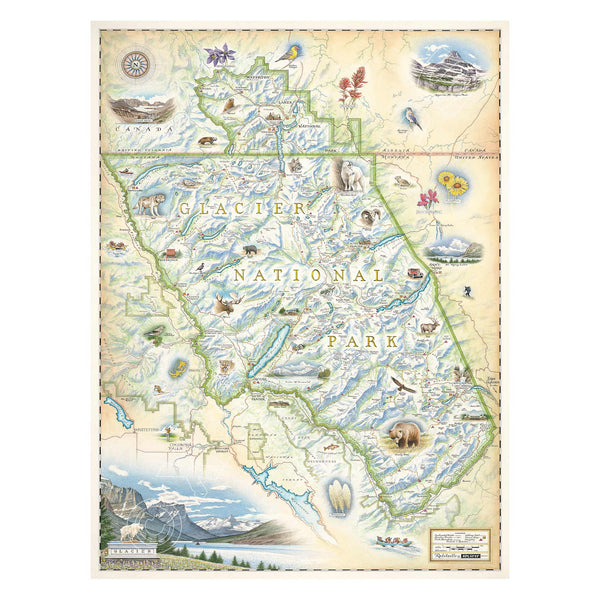
This 18” x 24” unframed lithographic art print features an original hand-illustrated map of Glacier National Park, created in pen and ink with watercolor by Xplorer Maps artist Chris Robitaille.
Located in northern Montana along the Canadian border, Glacier National Park was established in 1910 and forms part of the legendary “Crown of the Continent.” Long revered by the Salish, Kootenai, and Blackfeet tribes, the region carries deep cultural and ecological significance.
The map captures the park’s dramatic alpine terrain, including 25 active glaciers, rugged peaks, pristine lakes, and sweeping valleys. Iconic features such as Grinnell Glacier and Blackfoot Glacier are highlighted alongside the legendary Going-to-the-Sun Road — one of North America’s most scenic drives.
Landmarks like Lake McDonald, Logan Pass, and historic red touring buses — often called the “Rubies of the Rockies” — are woven into the composition, celebrating both the wild landscape and the park’s early tourism heritage.
Wildlife is central to Glacier’s identity. Moose, grizzly bears, mountain goats, and bald eagles inhabit this dynamic ecosystem, making the park one of the most biologically diverse regions in the Lower 48.
Blending cartographic precision with artistic storytelling, this piece honors Glacier National Park’s raw alpine beauty and enduring legacy.
Product Details
Dimensions: 18” × 24”
Orientation: Vertical
Print Type: Fine art lithograph
Artwork by: Chris Robitaille, Co-Founder of Xplorer Maps
Ships rolled in protective tube
Our on-line store is open 24/7 and we ship Monday through Friday, excluding some holidays. Orders received for products without shipping restrictions on its product page will ship the same business day when received before 12:00 p.m. PST. Orders in high demand will have an estimated production time listed on its product page and will ship according to the date listed.
The Xplorer Maps Warehouse Team strives to ship every order within 1 business day.
For custom orders (including framing), please allow 3-4 weeks for shipping.
Xplorer Maps ships all over the world, but prices and shipping times vary according to state, country, and the weight of items purchased. International recipients are solely responsible for any fees such as, but not limited to, VAT or import duties.
All prices will be charged according to your destination at check-out. This information is shown before your credit card is charged and you can click on the "calculate shipping charges" once an item has been placed in the cart to see the exact shipping based on your zip code.
We ship with UPS and USPS. Expedited shipping options are available at checkout.
Please be aware that despite our prompt shipping, factors beyond our control may occasionally lead to delays in the arrival of your order. For additional questions regarding shipping please email us at: store@xplorermaps.com