


Double click image to zoom in

Click image to open expanded view
Bundle & Save
Hand-Drawn Map Bundle - 4 for $100
$120.00


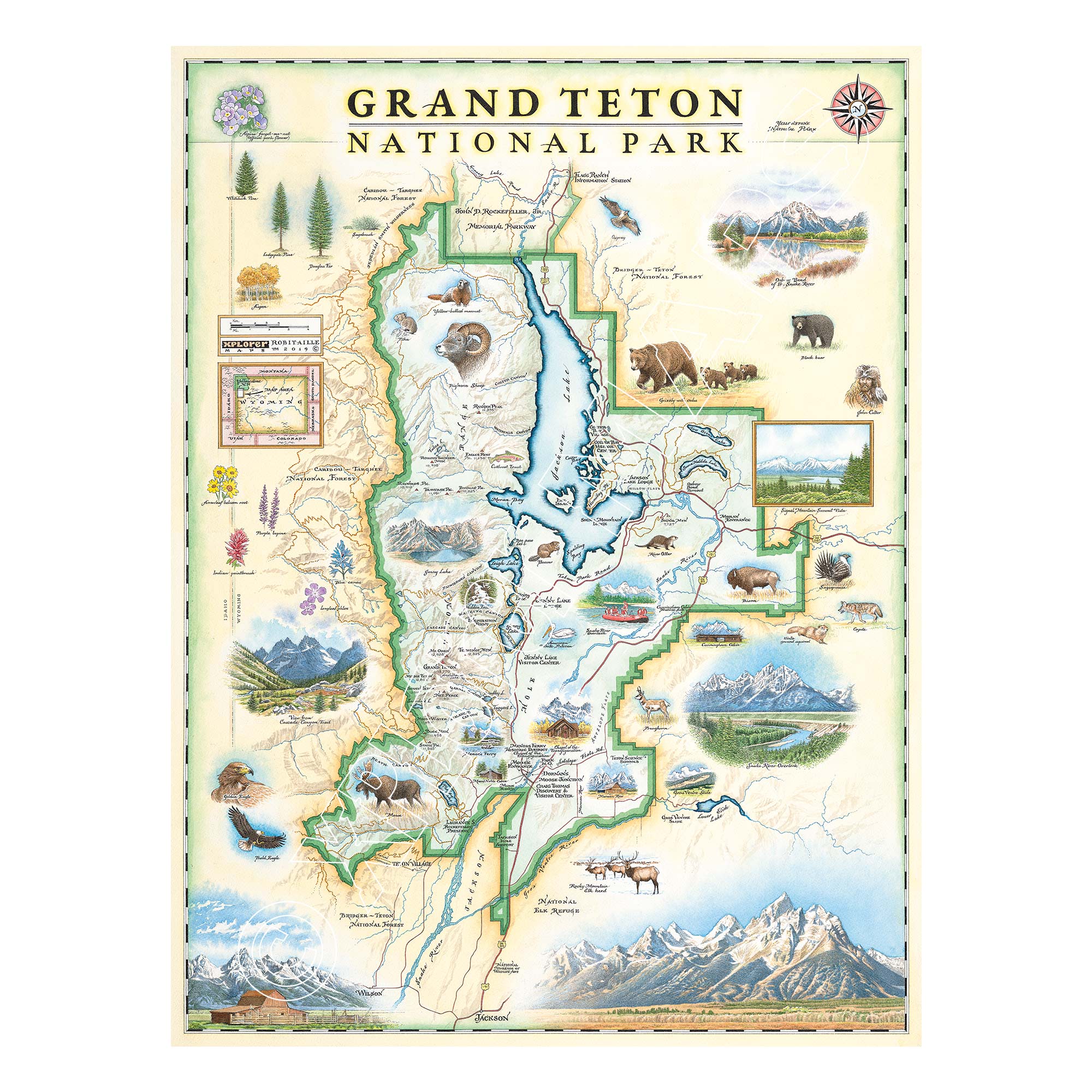
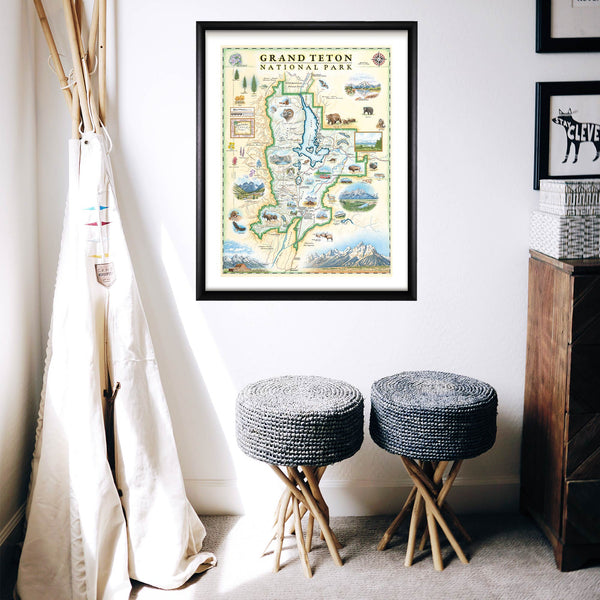
This 18” x 24” unframed lithographic art print features an original hand-illustrated map of Grand Teton National Park, created in pen and ink with watercolor by Xplorer Maps artist Chris Robitaille.
Rising dramatically from the valley floor in northwest Wyoming, the Teton Range defines one of the most iconic mountain landscapes in North America. The map captures the sharp granite peaks of Grand Teton, the reflective waters of Jenny Lake, and the trail systems that wind through Cascade Canyon.
The Snake River curves through the valley, with scenic viewpoints such as Oxbow Bend offering classic reflections of the mountains at sunrise and sunset. Historic landmarks including Colter Bay Village and Mormon Row are thoughtfully woven into the composition, connecting the park’s natural grandeur with its cultural heritage.
Wildlife such as grizzly bears, moose, elk, and bald eagles bring life to the landscape, reflecting the rich ecosystems of the Greater Yellowstone region.
Blending cartographic precision with artistic storytelling, this piece serves as a meaningful tribute for hikers, climbers, photographers, and national park collectors alike.
Product Details
Dimensions: 18” × 24”
Orientation: Vertical
Print Type: Fine art lithograph
Artwork by: Chris Robitaille, Co-Founder of Xplorer Maps
Ships rolled in protective tube
Our on-line store is open 24/7 and we ship Monday through Friday, excluding some holidays. Orders received for products without shipping restrictions on its product page will ship the same business day when received before 12:00 p.m. PST. Orders in high demand will have an estimated production time listed on its product page and will ship according to the date listed.
The Xplorer Maps Warehouse Team strives to ship every order within 1 business day.
For custom orders (including framing), please allow 3-4 weeks for shipping.
Xplorer Maps ships all over the world, but prices and shipping times vary according to state, country, and the weight of items purchased. International recipients are solely responsible for any fees such as, but not limited to, VAT or import duties.
All prices will be charged according to your destination at check-out. This information is shown before your credit card is charged and you can click on the "calculate shipping charges" once an item has been placed in the cart to see the exact shipping based on your zip code.
We ship with UPS and USPS. Expedited shipping options are available at checkout.
Please be aware that despite our prompt shipping, factors beyond our control may occasionally lead to delays in the arrival of your order. For additional questions regarding shipping please email us at: store@xplorermaps.com