

Double click image to zoom in


Click image to open expanded view
Bundle & Save
Hand-Drawn Map Bundle - 4 for $100
$120.00


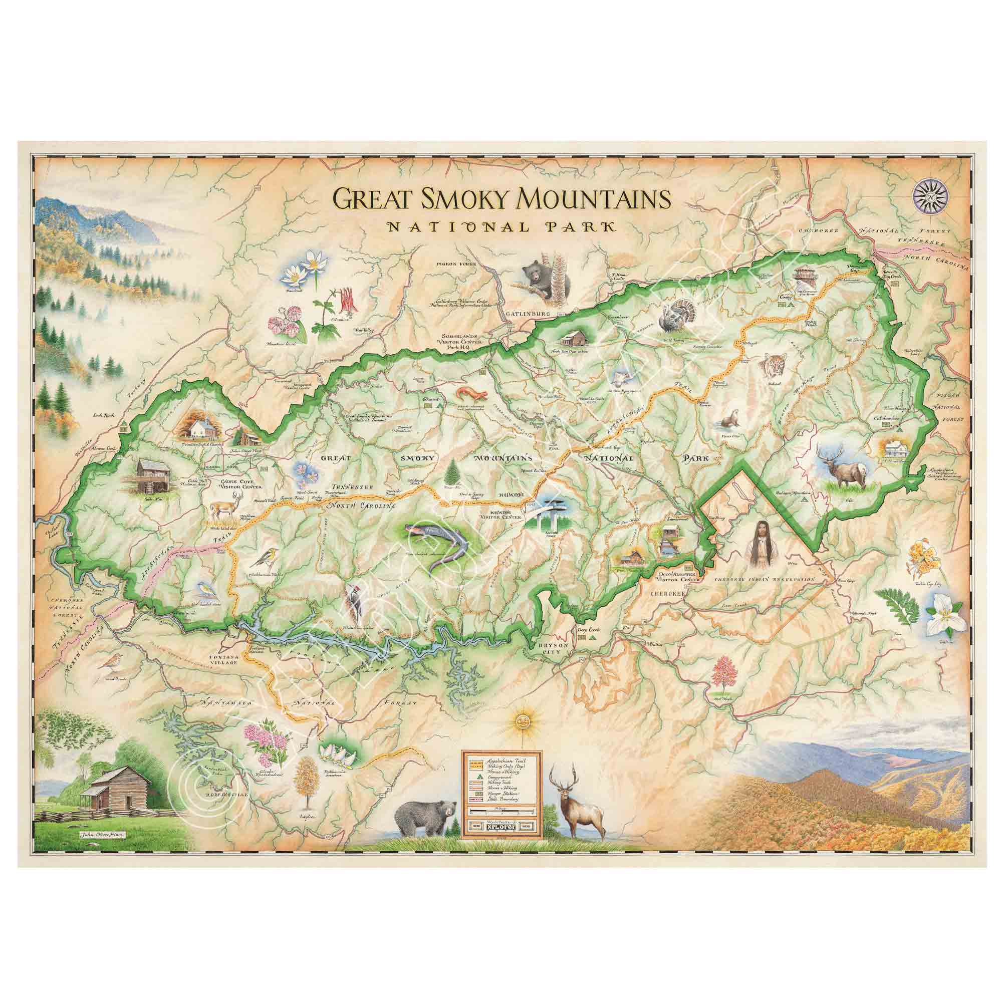
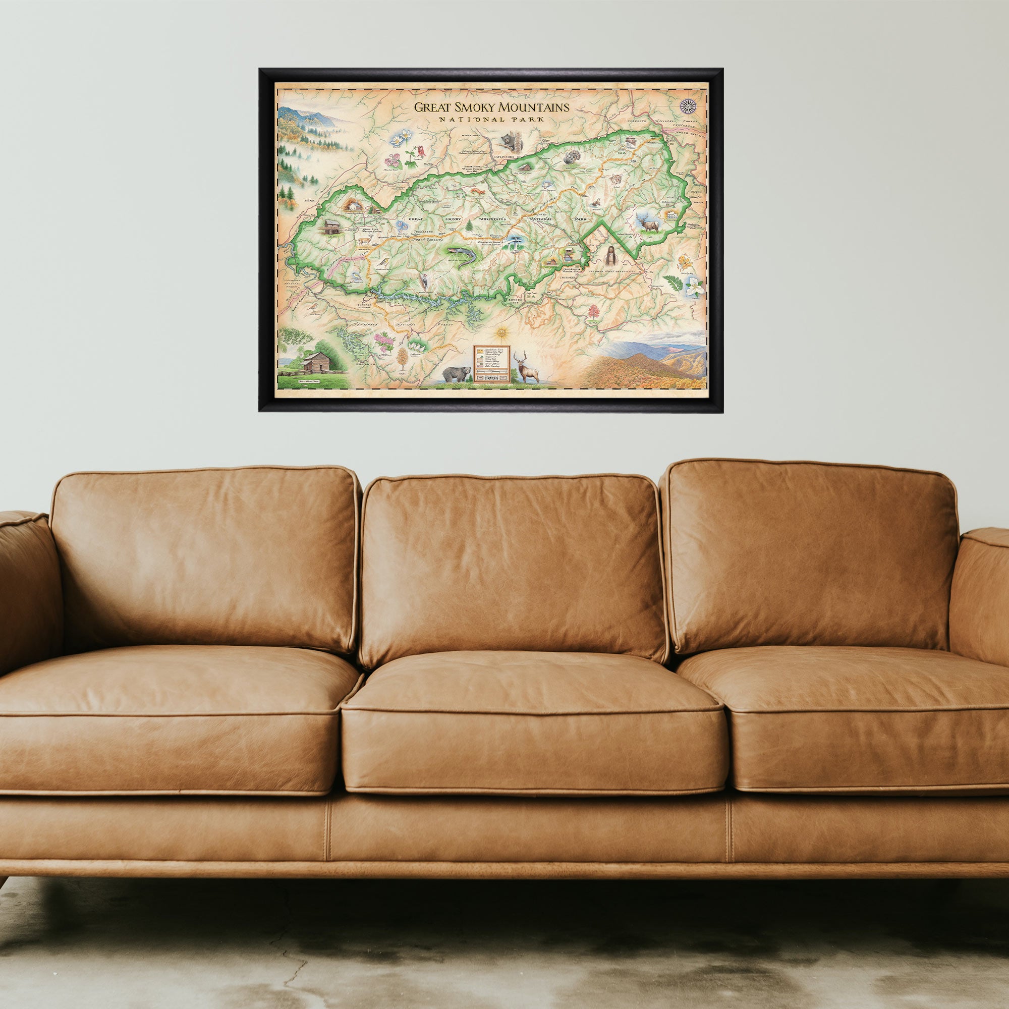
This 24” x 18” unframed lithographic art print features an original hand-illustrated map of Great Smoky Mountains National Park, created in pen and ink with watercolor by Xplorer Maps artist Chris Robitaille.
Straddling the Tennessee and North Carolina border, the Great Smoky Mountains are a subrange of the Blue Ridge Mountains and are named for the signature blue haze created by moisture and natural vegetation. As the most visited national park in the United States, the Smokies welcome millions each year to explore their mist-covered ridgelines and forested valleys.
The map highlights beloved destinations such as Cades Cove, Mingus Mill, and the Mount Cammerer Fire Tower, alongside trail systems that weave through hardwood forests, waterfalls, and panoramic overlooks. Historic structures from early Appalachian settlers are thoughtfully integrated into the composition, reflecting the region’s cultural heritage.
Renowned for its biodiversity, the park is home to elk, black bears, bobcats, salamanders, and an extraordinary variety of wildflowers that bloom across the seasons.
Blending cartographic precision with artistic storytelling, this piece captures the layered landscapes, Appalachian history, and ecological richness that define Great Smoky Mountains National Park.
Product Details
Dimensions: 24” × 18”
Orientation: Horizontal
Print Type: Fine art lithograph
Artwork by: Chris Robitaille, Co-Founder of Xplorer Maps
Ships rolled in protective tube
Our on-line store is open 24/7 and we ship Monday through Friday, excluding some holidays. Orders received for products without shipping restrictions on its product page will ship the same business day when received before 12:00 p.m. PST. Orders in high demand will have an estimated production time listed on its product page and will ship according to the date listed.
The Xplorer Maps Warehouse Team strives to ship every order within 1 business day.
For custom orders (including framing), please allow 3-4 weeks for shipping.
Xplorer Maps ships all over the world, but prices and shipping times vary according to state, country, and the weight of items purchased. International recipients are solely responsible for any fees such as, but not limited to, VAT or import duties.
All prices will be charged according to your destination at check-out. This information is shown before your credit card is charged and you can click on the "calculate shipping charges" once an item has been placed in the cart to see the exact shipping based on your zip code.
We ship with UPS and USPS. Expedited shipping options are available at checkout.
Please be aware that despite our prompt shipping, factors beyond our control may occasionally lead to delays in the arrival of your order. For additional questions regarding shipping please email us at: store@xplorermaps.com