


Double click image to zoom in
Click image to open expanded view

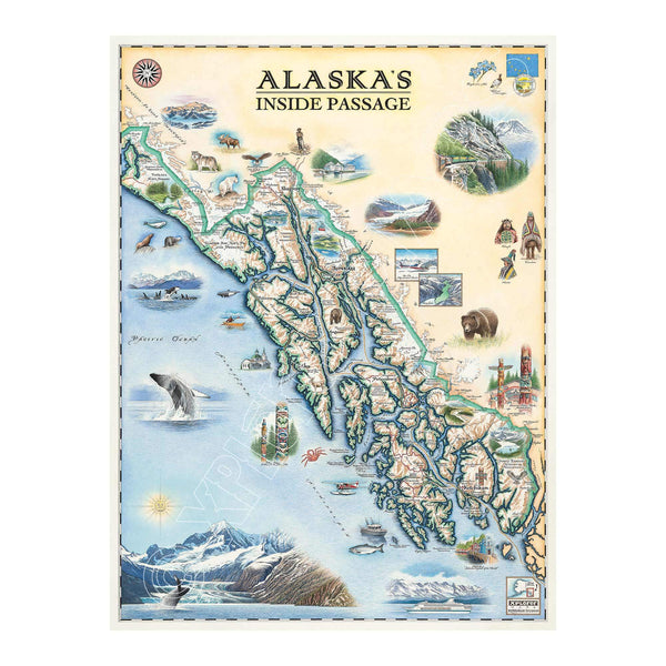
This 18” x 24” unframed lithographic art print features an original hand-illustrated map of Alaska’s Inside Passage, created in pen and ink with watercolor by Xplorer Maps artist Chris Robitaille.
Stretching more than 500 miles along Alaska’s southeastern coastline, the Inside Passage weaves through glacier-carved fjords, temperate rainforests, and rugged island archipelagos. The region is the ancestral homeland of the Tlingit, Haida, and Tsimshian peoples, whose cultural legacy is reflected throughout the landscape.
The map traces the journey beginning in Ketchikan, often called the “Salmon Capital of the World,” with landmarks such as Saxman Totem Park highlighting Indigenous artistry and heritage. From there, it moves north through the dramatic cliffs of Tracy Arm Fjord, past Juneau — the remote capital accessible only by air or sea — and onward to Skagway, a gateway town of the Klondike Gold Rush.
Coastal communities like Sitka and Pelican are woven into the composition alongside natural wonders including Misty Fjords National Monument, Glacier Bay, Tongass National Forest, and towering peaks such as Mount John Jay.
Marine and terrestrial wildlife bring the map to life — humpback whales, orcas, harbor seals, brown bears, and bald eagles reflect the region’s extraordinary biodiversity.
Blending cartographic precision with artistic storytelling, this piece captures the scale, solitude, and cultural depth of one of North America’s most awe-inspiring coastal routes.
Product Details
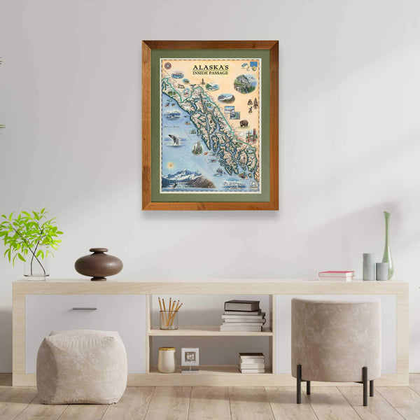
Dimensions: 18” × 24”
Orientation: Vertical
Print Type: Fine art lithograph
Artwork by: Chris Robitaille, Co-Founder of Xplorer Maps
Ships rolled in protective tube
Our on-line store is open 24/7 and we ship Monday through Friday, excluding some holidays. Orders received for products without shipping restrictions on its product page will ship the same business day when received before 12:00 p.m. PST. Orders in high demand will have an estimated production time listed on its product page and will ship according to the date listed.
The Xplorer Maps Warehouse Team strives to ship every order within 1 business day.
For custom orders (including framing), please allow 3-4 weeks for shipping.
Xplorer Maps ships all over the world, but prices and shipping times vary according to state, country, and the weight of items purchased. International recipients are solely responsible for any fees such as, but not limited to, VAT or import duties.
All prices will be charged according to your destination at check-out. This information is shown before your credit card is charged and you can click on the "calculate shipping charges" once an item has been placed in the cart to see the exact shipping based on your zip code.
We ship with UPS and USPS. Expedited shipping options are available at checkout.
Please be aware that despite our prompt shipping, factors beyond our control may occasionally lead to delays in the arrival of your order. For additional questions regarding shipping please email us at: store@xplorermaps.com