

Bundle & Save
Hand-Drawn Map Bundle - 4 for $100
$120.00

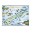

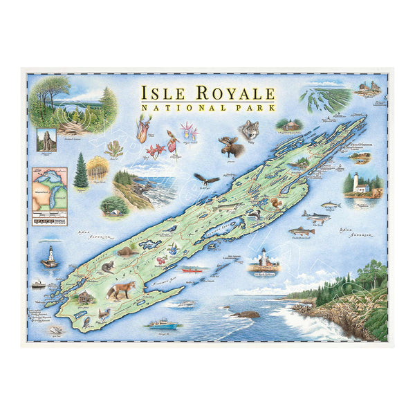
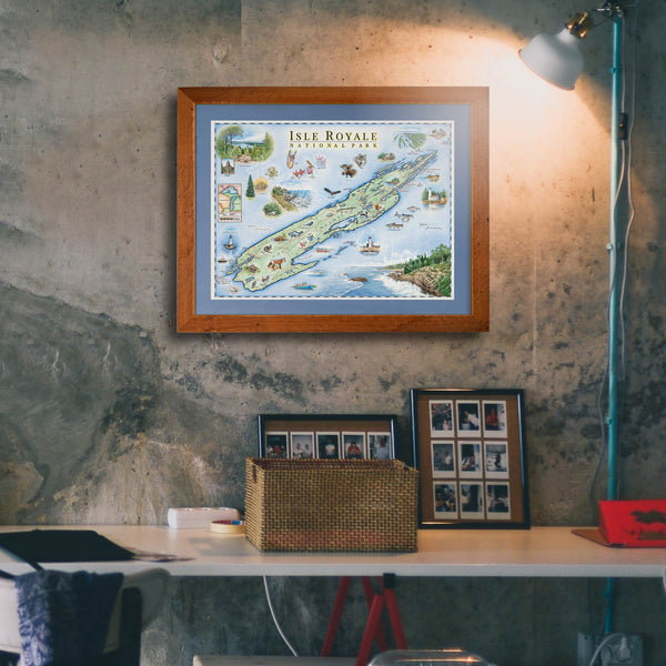
This 24” x 18” unframed lithographic art print features an original hand-illustrated map of Isle Royale National Park, created in pen and ink with watercolor by Xplorer Maps artist Chris Robitaille.
Rising from the cold waters of Lake Superior, Isle Royale is one of America’s most remote national parks — a rugged wilderness defined by rocky shorelines, dense boreal forests, inland lakes, and miles of backcountry trails. The map captures the island’s dramatic isolation, weaving together its harbors, ridgelines, and hidden coves.
Known for its wolf and moose population, pristine night skies, and quiet solitude, Isle Royale offers a rare kind of wilderness experience. Wildlife, waterways, and remote camps are thoughtfully illustrated throughout the composition, reflecting the park’s ecological richness and untamed character.
Blending cartographic precision with artistic storytelling, this piece serves as a meaningful tribute for backpackers, paddlers, national park collectors, and anyone drawn to wild, untraveled places.
Dimensions: 24” × 18”
Orientation: Horizontal
Print Type: Fine art lithograph
Artwork by: Chris Robitaille, Co-Founder of Xplorer Maps
Ships: Rolled in protective tube