


Double click image to zoom in
Click image to open expanded view
Bundle & Save
Hand-Drawn Map Bundle - 4 for $100
$120.00

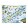

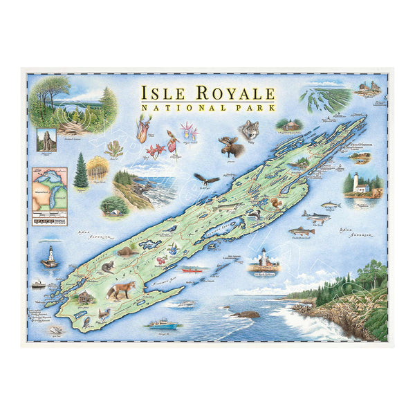
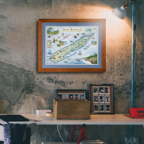
This 24” x 18” unframed lithographic art print features an original hand-illustrated map of Isle Royale National Park, created in pen and ink with watercolor by Xplorer Maps artist Chris Robitaille.
Rising from the cold waters of Lake Superior, Isle Royale is one of America’s most remote national parks — a rugged wilderness defined by rocky shorelines, dense boreal forests, inland lakes, and miles of backcountry trails. The map captures the island’s dramatic isolation, weaving together its harbors, ridgelines, and hidden coves.
Known for its wolf and moose population, pristine night skies, and quiet solitude, Isle Royale offers a rare kind of wilderness experience. Wildlife, waterways, and remote camps are thoughtfully illustrated throughout the composition, reflecting the park’s ecological richness and untamed character.
Blending cartographic precision with artistic storytelling, this piece serves as a meaningful tribute for backpackers, paddlers, national park collectors, and anyone drawn to wild, untraveled places.
Dimensions: 24” × 18”
Orientation: Horizontal
Print Type: Fine art lithograph
Artwork by: Chris Robitaille, Co-Founder of Xplorer Maps
Ships: Rolled in protective tube
Our on-line store is open 24/7 and we ship Monday through Friday, excluding some holidays. Orders received for products without shipping restrictions on its product page will ship the same business day when received before 12:00 p.m. PST. Orders in high demand will have an estimated production time listed on its product page and will ship according to the date listed.
The Xplorer Maps Warehouse Team strives to ship every order within 1 business day.
For custom orders (including framing), please allow 3-4 weeks for shipping.
Xplorer Maps ships all over the world, but prices and shipping times vary according to state, country, and the weight of items purchased. International recipients are solely responsible for any fees such as, but not limited to, VAT or import duties.
All prices will be charged according to your destination at check-out. This information is shown before your credit card is charged and you can click on the "calculate shipping charges" once an item has been placed in the cart to see the exact shipping based on your zip code.
We ship with UPS and USPS. Expedited shipping options are available at checkout.
Please be aware that despite our prompt shipping, factors beyond our control may occasionally lead to delays in the arrival of your order. For additional questions regarding shipping please email us at: store@xplorermaps.com