
Montana State Hand-Drawn Map
- Price
- $675
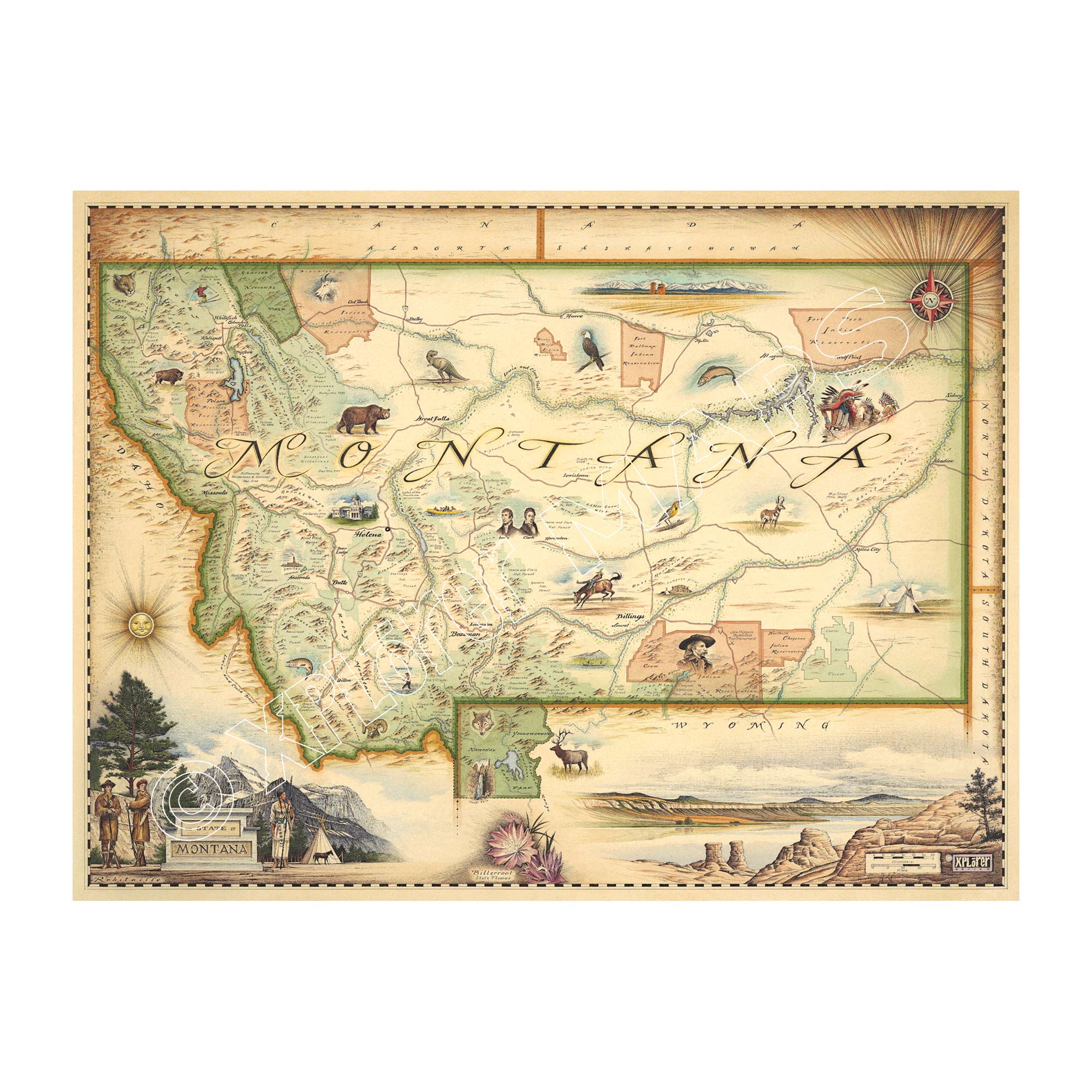
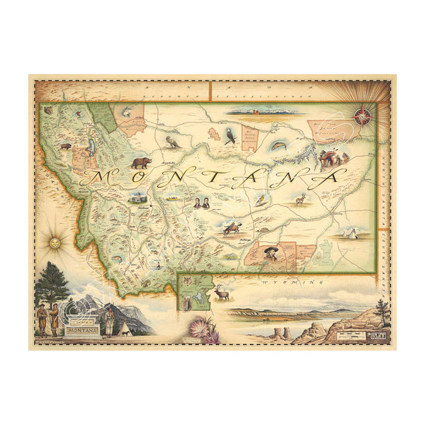
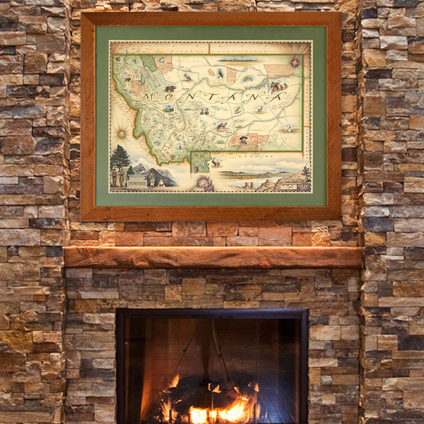
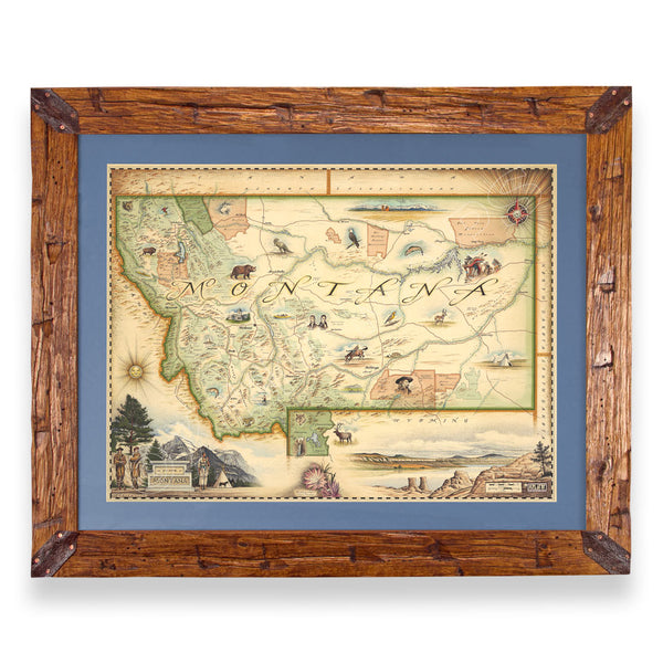
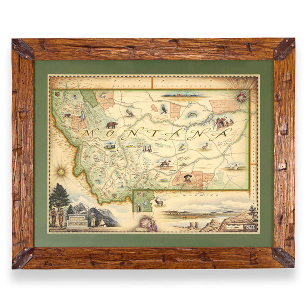
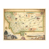
This original hand-drawn pen and ink/watercolor story map captures Montana, the fourth-largest state in the U.S. Covering approximately 147,000 square miles, Montana is renowned as Big Sky Country. The map illustrates the diverse landscapes of the western mountains, featuring the Rocky Mountain range and the Continental Divide, alongside the expansive Great Plains to the east, historically home to nomadic Plains tribes.
Montana is rich in flora and fauna, showcasing species such as the Bitterroot flower, mountain lions, and bald eagles, across its coniferous forests and grasslands. The state is also a hydrological wonder, with key rivers like the Missouri and Yellowstone flowing through it, marking the paths taken by Lewis and Clark.
Glacier National Park and Yellowstone National Park draw millions of visitors annually, offering breathtaking hikes and diverse wildlife experiences. Montana's smaller population does not diminish its allure; instead, the state remains a dream destination for outdoor enthusiasts, celebrated for its unique culture, landscapes, and recreational opportunities.
The lithograph print by Chris Robitaille of Xplorer Maps measures 18” tall by 24” wide unframed.
* The framed map is for retail purchase only. Xplorer Maps does not offer wholesale pricing on framed maps.
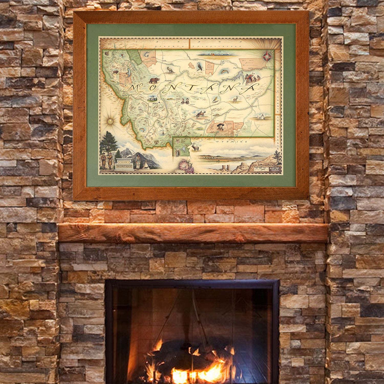
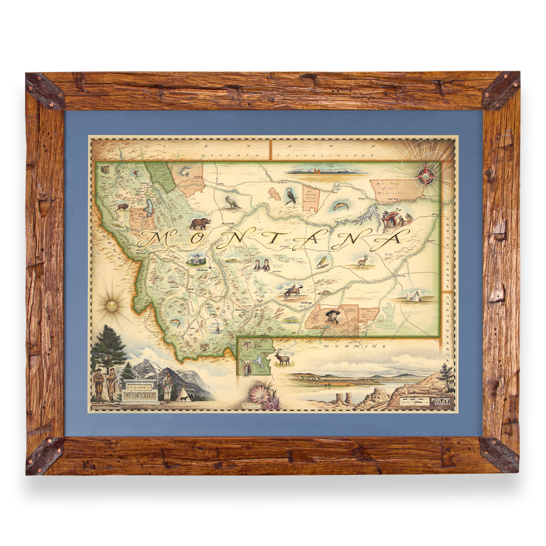
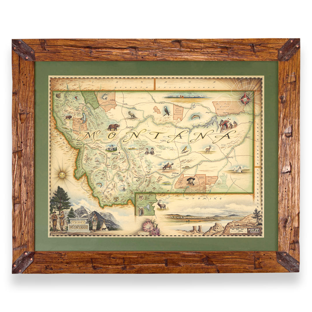
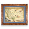
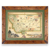
Hand-Scraped Montana Pine - Montana forest-harvested pine frame. For that rustic look, each frame is hand-scraped.
All frames are equipped with conservation clear glass, which is guaranteed to block 99% of ultraviolet rays. Upgrade to Museum glass, which ensures 99% UV protection but also provides ZERO GLARE - this is the quality glass you would find in gallery settings.
Bundle & Save
Shipping Information
Our on-line store is open 24/7 and we ship Monday through Friday, excluding some holidays. Orders received for products without shipping restrictions on its product page will ship the same business day when received before 12:00 p.m. PST. Orders in high demand will have an estimated production time listed on its product page and will ship according to the date listed.
Retail Shipping
-
The Xplorer Maps Warehouse Team strives to ship every order within 1 business day.
-
For custom orders (including framing), please allow 3-4 weeks for shipping.
-
Xplorer Maps ships all over the world, but prices and shipping times vary according to state, country, and the weight of items purchased. International recipients are solely responsible for any fees such as, but not limited to, VAT or import duties.
-
All prices will be charged according to your destination at check-out. This information is shown before your credit card is charged and you can click on the "calculate shipping charges" once an item has been placed in the cart to see the exact shipping based on your zip code.
-
We ship with UPS and USPS. Expedited shipping options are available at checkout.
Please be aware that despite our prompt shipping, factors beyond our control may occasionally lead to delays in the arrival of your order. For additional questions regarding shipping please email us at: warehouse@xplorermaps.com


