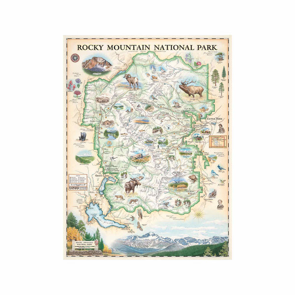
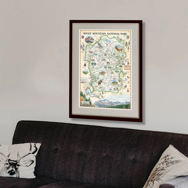
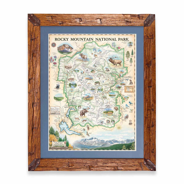
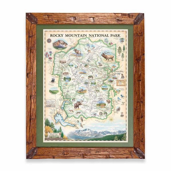
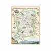
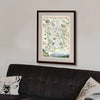
Rocky Mountain National Park Hand-Drawn Map
- Price
- $30
Experience the breathtaking beauty and rich history of Rocky Mountain National Park with our Lithographic Map Art Print. This meticulously hand-illustrated map by artist Chris Robitaille of Xplorer Maps captures the park's stunning topography and landmarks. Measuring 18" wide by 24" tall unframed, it’s a perfect addition to any collection.
Established in 1915, Rocky Mountain National Park covers over 415 square miles of rugged terrain, featuring 78 mountain peaks exceeding 12,000 feet, including the towering Longs Peak at 14,259 feet. The park’s unique geology showcases ancient granite formations, glacial valleys, and vibrant wildflower meadows, reflecting millions of years of history.
Originally inhabited by Native American tribes, including the Ute and Arapaho, the park holds cultural significance and remnants of their heritage. Conservationist Enos Mills, known as the "father of Rocky Mountain National Park," played a crucial role in its establishment.
This artwork pays tribute to the legacy of preservation and the natural wonders of Rocky Mountain National Park, bringing its allure and history into your space.
* The framed map is for retail purchase only. Xplorer Maps does not offer wholesale pricing on framed maps.
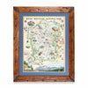
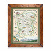
Hand-Scraped Montana Pine - Montana forest-harvested pine frame. For that rustic look, each frame is hand-scraped.
All frames are equipped with conservation clear glass, which is guaranteed to block 99% of ultraviolet rays. Upgrade to Museum glass, which ensures 99% UV protection but also provides ZERO GLARE - this is the quality glass you would find in gallery settings.


