


Double click image to zoom in
Click image to open expanded view
Bundle & Save
Hand-Drawn Map Bundle - 4 for $100
$120.00

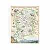

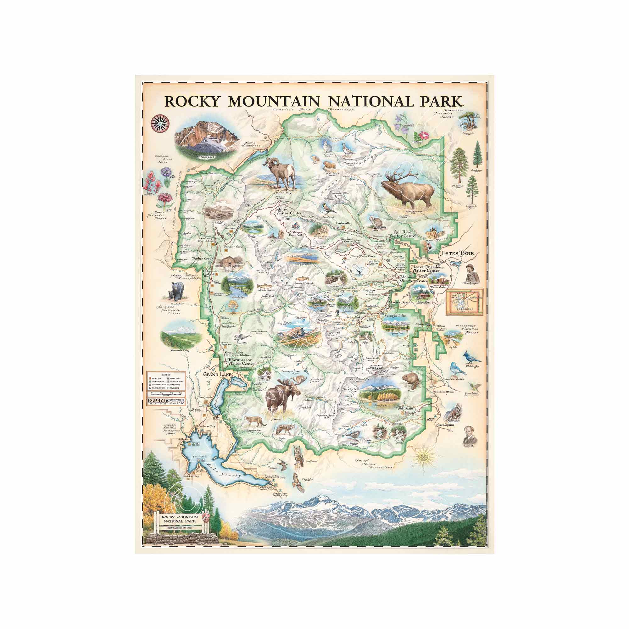
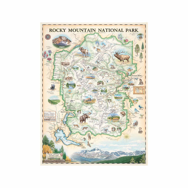
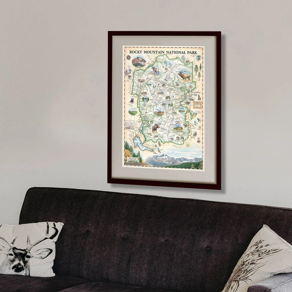
This 18” x 24” unframed lithographic art print features an original hand-illustrated map of Rocky Mountain National Park, created in pen and ink with watercolor by Xplorer Maps artist Chris Robitaille.
Established in 1915, the park spans more than 415 square miles of alpine terrain, soaring peaks, glacial valleys, and subalpine forests. The map captures the dramatic elevation shifts of the Continental Divide and highlights Longs Peak, rising to 14,259 feet above sea level, along with the many summits exceeding 12,000 feet that define Colorado’s Front Range.
Ancient granite formations and carved glacial basins shape the landscape, while vibrant wildflower meadows and high-altitude tundra reflect the park’s ecological diversity. Wildlife such as elk, bighorn sheep, moose, and golden eagles are thoughtfully woven into the composition.
The region holds deep cultural significance, having been home to Indigenous peoples including the Ute and Arapaho long before its designation as a national park. Conservationist Enos Mills played a pivotal role in preserving this landscape, helping establish one of America’s most treasured wilderness areas.
Blending cartographic precision with artistic storytelling, this piece honors the park’s scale, history, and enduring legacy of preservation.
Product Details
Dimensions: 18” × 24”
Orientation: Vertical
Print Type: Fine art lithograph
Artwork by: Chris Robitaille, Co-Founder of Xplorer Maps
Ships rolled in protective tube
Our on-line store is open 24/7 and we ship Monday through Friday, excluding some holidays. Orders received for products without shipping restrictions on its product page will ship the same business day when received before 12:00 p.m. PST. Orders in high demand will have an estimated production time listed on its product page and will ship according to the date listed.
The Xplorer Maps Warehouse Team strives to ship every order within 1 business day.
For custom orders (including framing), please allow 3-4 weeks for shipping.
Xplorer Maps ships all over the world, but prices and shipping times vary according to state, country, and the weight of items purchased. International recipients are solely responsible for any fees such as, but not limited to, VAT or import duties.
All prices will be charged according to your destination at check-out. This information is shown before your credit card is charged and you can click on the "calculate shipping charges" once an item has been placed in the cart to see the exact shipping based on your zip code.
We ship with UPS and USPS. Expedited shipping options are available at checkout.
Please be aware that despite our prompt shipping, factors beyond our control may occasionally lead to delays in the arrival of your order. For additional questions regarding shipping please email us at: store@xplorermaps.com