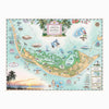
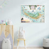
Sanibel & Captiva Islands Hand-Drawn Map
- Price
- $30
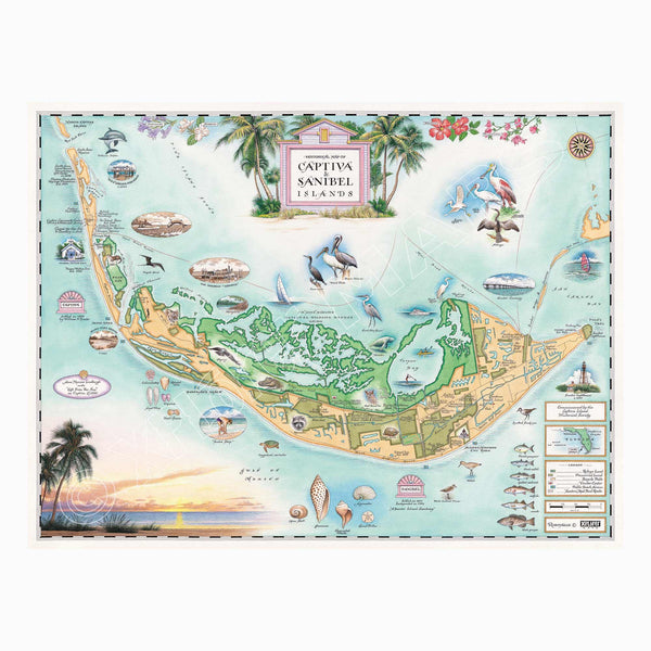
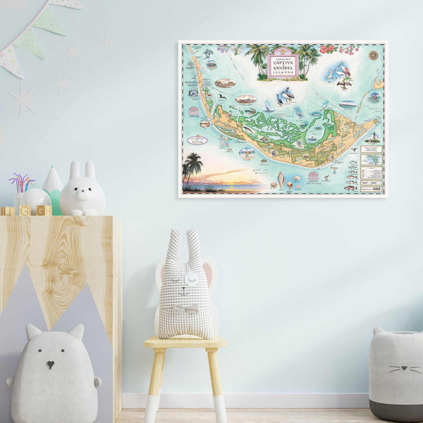
This Lithographic Map Art Print features a beautifully hand-illustrated map of Sanibel & Captiva Islands by artist Chris Robitaille of Xplorer Maps. The original pen and ink/watercolor artwork captures the charm and natural beauty of these iconic Florida islands. Measuring 24" wide by 18" tall unframed, it’s a perfect addition to your collection.
Sanibel and Captiva Islands are steeped in history, from their early inhabitants, the Calusa Indians, to their discovery by Spanish explorers in the 1500s. Sanibel, known for its pristine beaches and abundant seashells, was a haven for pirates in the 1700s, including the legendary José Gaspar. Captiva, named for the pirates' captives, shares in this folklore. In the late 19th century, both islands began to grow as agricultural hubs, cultivating crops like citrus and vegetables. By the 20th century, they had become popular destinations for tourists seeking nature, wildlife, and tranquility. Today, visitors enjoy exploring the J.N. "Ding" Darling National Wildlife Refuge, historic lighthouse, and world-renowned shelling beaches, all celebrated in this map.
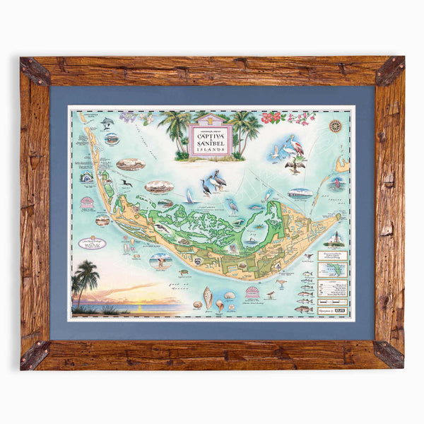
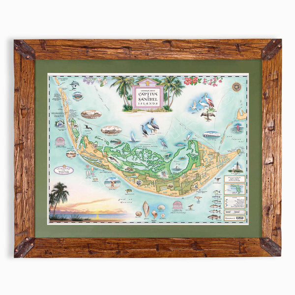
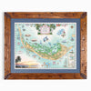
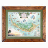
Are you looking for a custom matted and framed piece? Our frames are Montana hand-scraped pine. In addition, you can choose between green or blue mats.
* The framed map is for retail purchase only. Xplorer Maps does not offer wholesale pricing on framed maps.
Hand-Scraped Montana Pine - Montana forest-harvested pine frame. For that rustic look, each frame is hand-scraped.
All frames are equipped with conservation clear glass, which is guaranteed to block 99% of ultraviolet rays. Upgrade to Museum glass, which ensures 99% UV protection but also provides ZERO GLARE - this is the quality glass you would find in gallery settings.


