

Double click image to zoom in

Click image to open expanded view

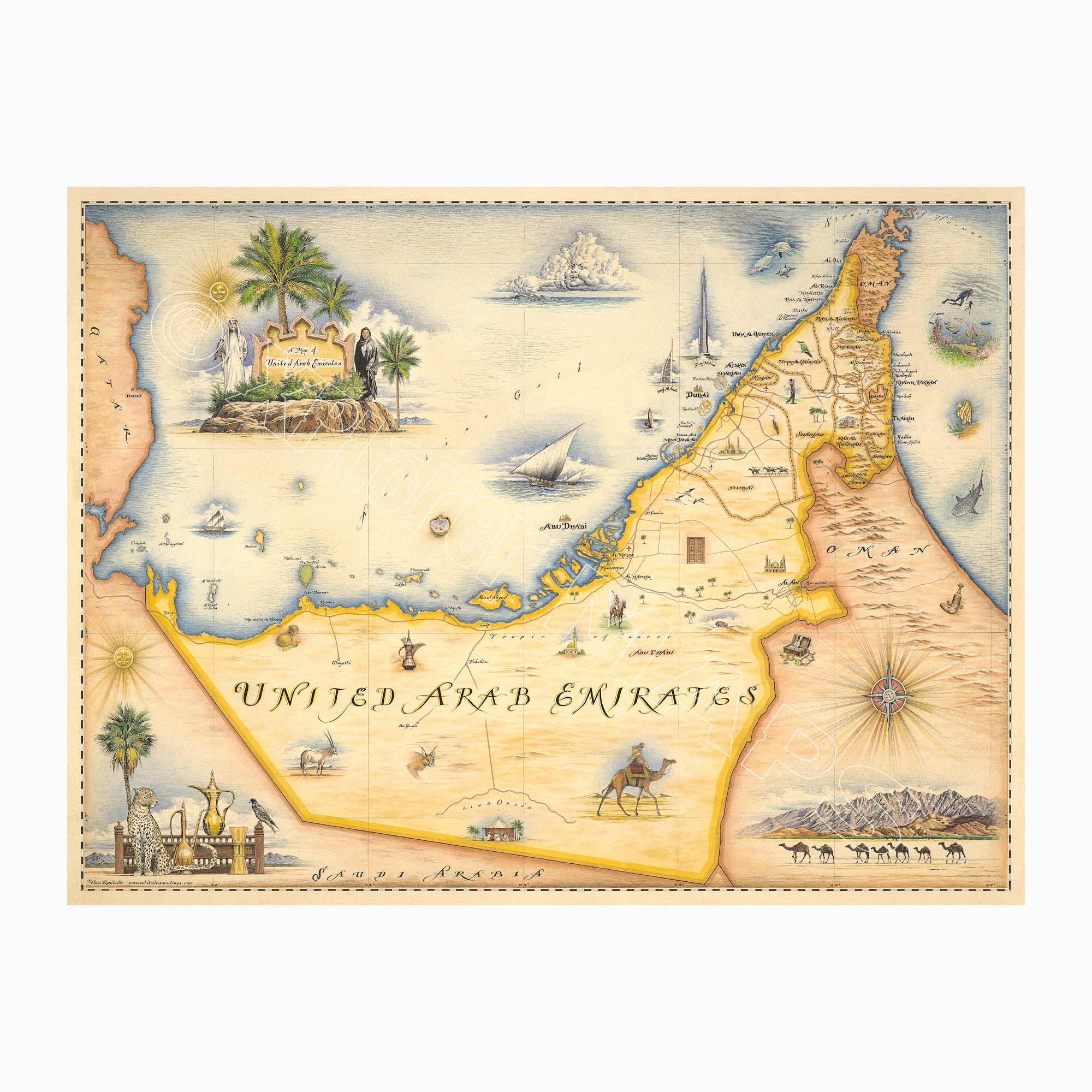
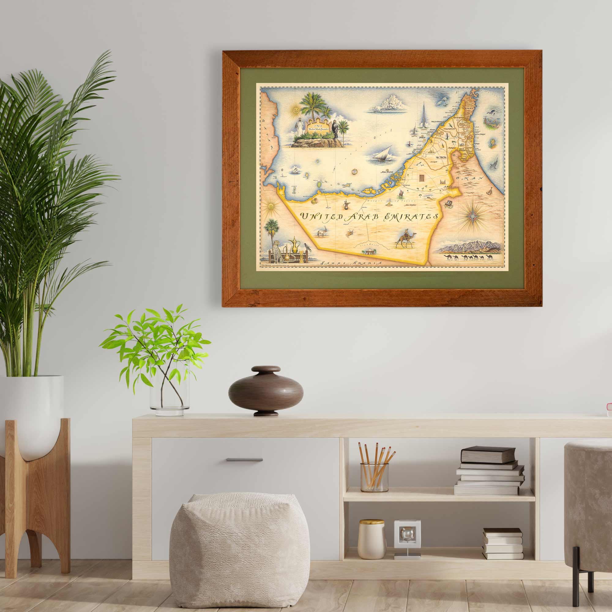
This 18” x 24” unframed lithographic art print features an original hand-illustrated map of the United Arab Emirates, created in pen and ink with watercolor by Xplorer Maps artist Chris Robitaille.
Established in 1971, the UAE is a federation of seven emirates — Abu Dhabi, Dubai, Sharjah, Ajman, Umm Al Quwain, Ras Al Khaimah, and Fujairah — each contributing its own identity to this rapidly evolving nation.
The map captures the country’s striking contrasts: futuristic skylines rising from desert sands, coastal cities along the Arabian Gulf, and rugged mountain terrain in the Hajar Mountains. Iconic landmarks such as the Burj Khalifa and the Louvre Abu Dhabi are woven into the composition, reflecting the UAE’s global stature in architecture, culture, and commerce.
Vast desert expanses of the Rub’ al Khali (Empty Quarter) anchor the southern landscape, while traditional souks, dhow boats, and historic forts nod to the region’s deep-rooted heritage.
Blending artistic storytelling with geographic precision, this piece honors the UAE’s dynamic balance of tradition and innovation — a nation shaped by both ancient trade routes and modern ambition.
Product Details
Dimensions: 18” × 24”
Orientation: Vertical
Print Type: Fine art lithograph
Artwork by: Chris Robitaille, Co-Founder of Xplorer Maps
Ships rolled in protective tube
Available in green or blue.
Our on-line store is open 24/7 and we ship Monday through Friday, excluding some holidays. Orders received for products without shipping restrictions on its product page will ship the same business day when received before 12:00 p.m. PST. Orders in high demand will have an estimated production time listed on its product page and will ship according to the date listed.
The Xplorer Maps Warehouse Team strives to ship every order within 1 business day.
For custom orders (including framing), please allow 3-4 weeks for shipping.
Xplorer Maps ships all over the world, but prices and shipping times vary according to state, country, and the weight of items purchased. International recipients are solely responsible for any fees such as, but not limited to, VAT or import duties.
All prices will be charged according to your destination at check-out. This information is shown before your credit card is charged and you can click on the "calculate shipping charges" once an item has been placed in the cart to see the exact shipping based on your zip code.
We ship with UPS and USPS. Expedited shipping options are available at checkout.
Please be aware that despite our prompt shipping, factors beyond our control may occasionally lead to delays in the arrival of your order. For additional questions regarding shipping please email us at: store@xplorermaps.com