


Double click image to zoom in


Click image to open expanded view
Bundle & Save
Hand-Drawn Map Bundle - 4 for $100
$120.00


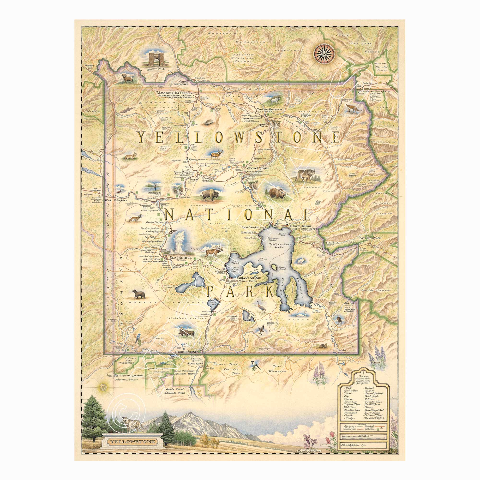
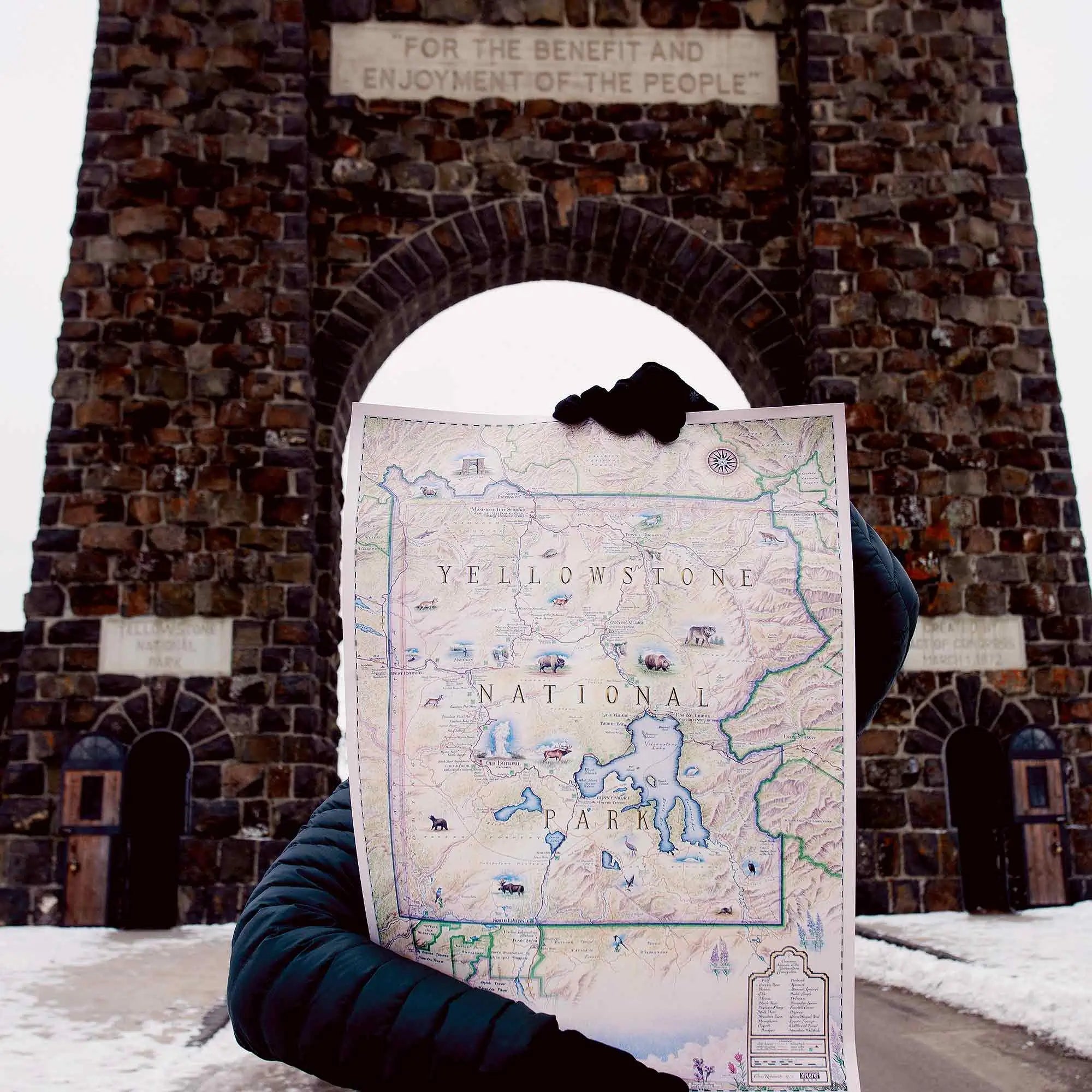
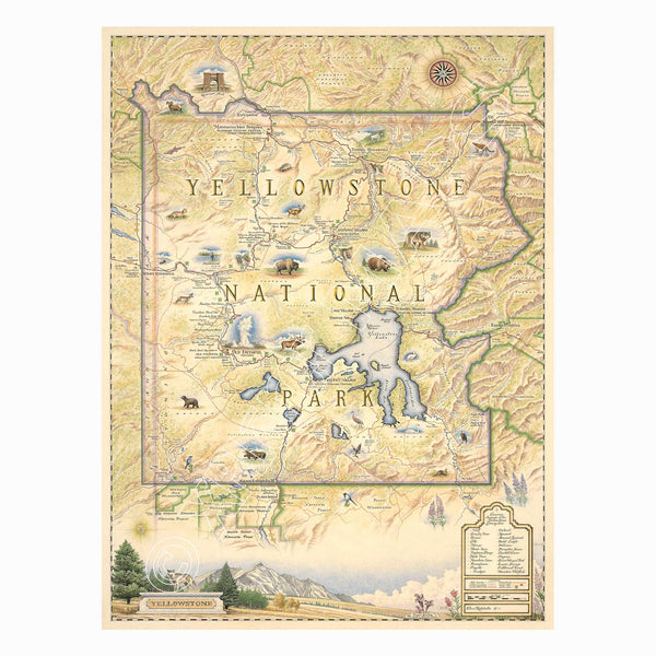
This 18” x 24” unframed lithographic art print features an original hand-illustrated map of Yellowstone National Park, created in pen and ink with watercolor by Xplorer Maps artist Chris Robitaille.
Established in 1872 as the world’s first national park, Yellowstone spans nearly 3,500 square miles across Wyoming, Montana, and Idaho. The map captures the park’s extraordinary geothermal landscape, including iconic features such as Old Faithful, the Grand Prismatic Spring, and the colorful terraces of Mammoth Hot Springs.
Rivers, alpine lakes, mountain ranges, and expansive forests are woven throughout the composition, reflecting the park’s immense scale and ecological diversity. The Yellowstone River carves through the Grand Canyon of the Yellowstone, while high-elevation plateaus and rugged peaks frame the horizon.
Wildlife is central to Yellowstone’s identity. The map celebrates bison, elk, wolves, grizzly bears, and bald eagles that roam one of the largest intact temperate ecosystems in the world.
Blending detailed cartography with artistic storytelling, this piece honors Yellowstone’s geological power, biodiversity, and enduring legacy in conservation history.
Product Details
Dimensions: 18” × 24”
Orientation: Vertical
Print Type: Fine art lithograph
Artwork by: Chris Robitaille, Co-Founder of Xplorer Maps
Ships rolled in protective tube
Our on-line store is open 24/7 and we ship Monday through Friday, excluding some holidays. Orders received for products without shipping restrictions on its product page will ship the same business day when received before 12:00 p.m. PST. Orders in high demand will have an estimated production time listed on its product page and will ship according to the date listed.
The Xplorer Maps Warehouse Team strives to ship every order within 1 business day.
For custom orders (including framing), please allow 3-4 weeks for shipping.
Xplorer Maps ships all over the world, but prices and shipping times vary according to state, country, and the weight of items purchased. International recipients are solely responsible for any fees such as, but not limited to, VAT or import duties.
All prices will be charged according to your destination at check-out. This information is shown before your credit card is charged and you can click on the "calculate shipping charges" once an item has been placed in the cart to see the exact shipping based on your zip code.
We ship with UPS and USPS. Expedited shipping options are available at checkout.
Please be aware that despite our prompt shipping, factors beyond our control may occasionally lead to delays in the arrival of your order. For additional questions regarding shipping please email us at: store@xplorermaps.com