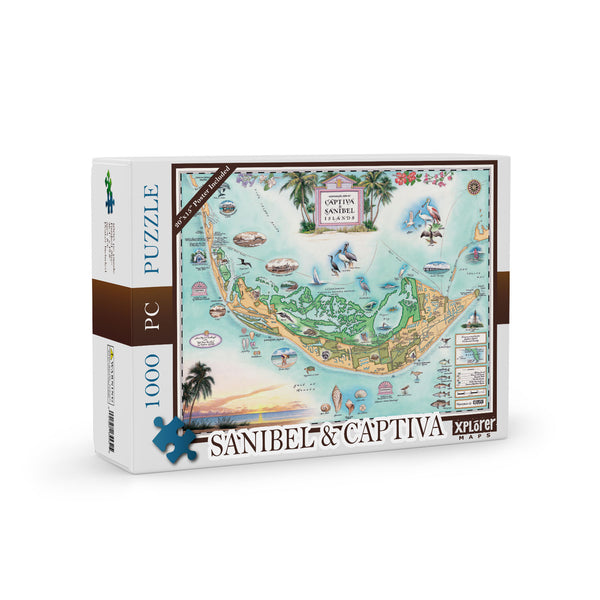
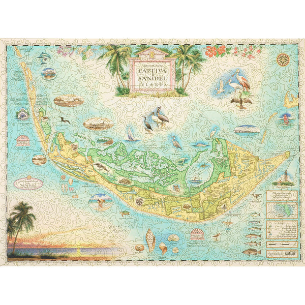
Sanibel & Captiva Islands Map Jigsaw Puzzle - 1000 Pieces
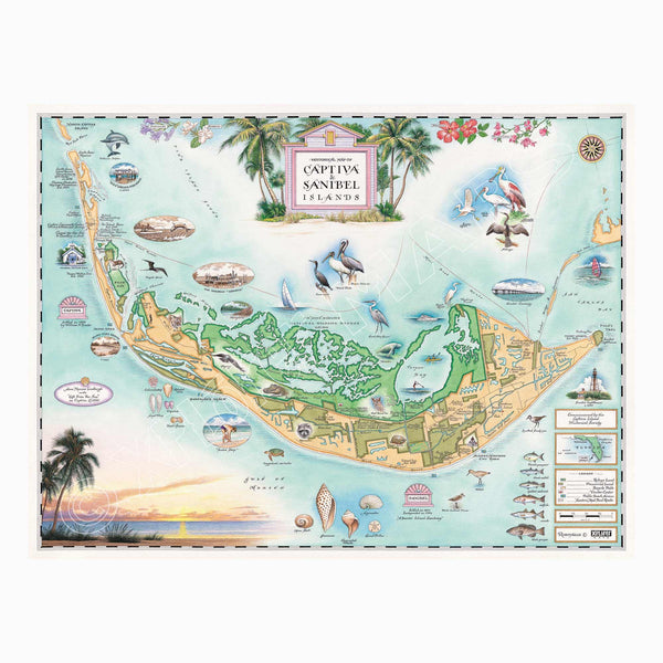
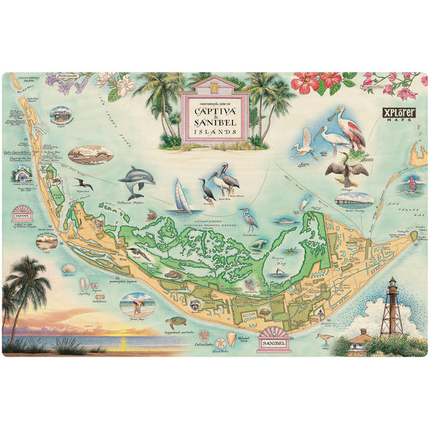
Sanibel & Captiva Islands Hand-Drawn Map
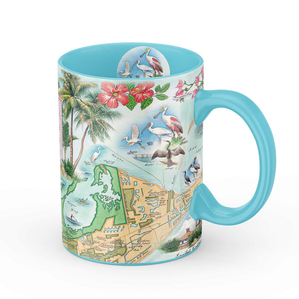
Sanibel & Captiva Islands Map Ceramic Mug
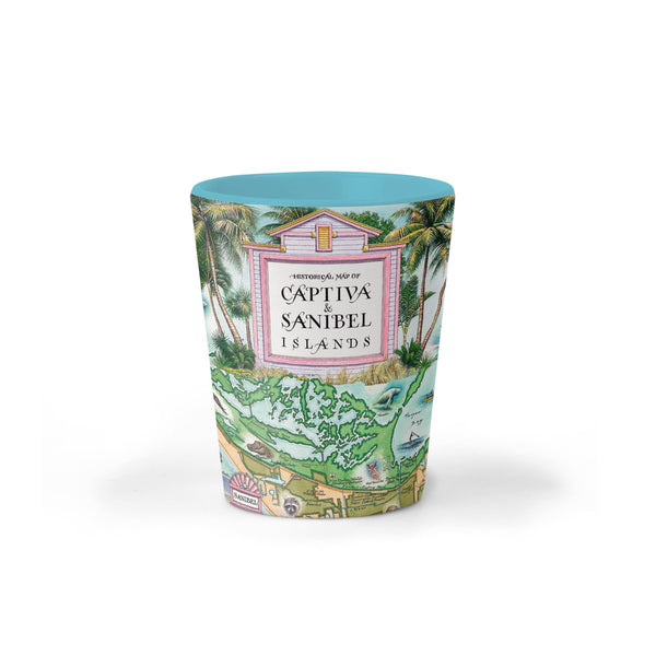
Sanibel & Captiva Islands Map Ceramic Shot Glass
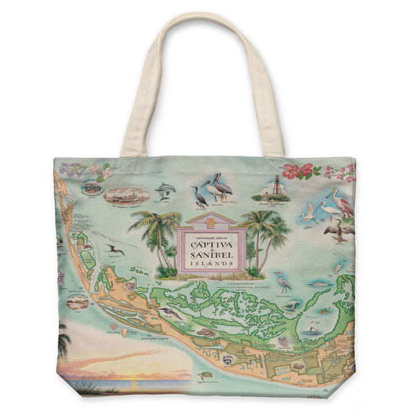
Sanibel & Captiva Islands Map Canvas Tote Bag
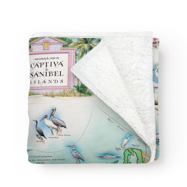
Sanibel & Captiva Islands Map Fleece Blanket
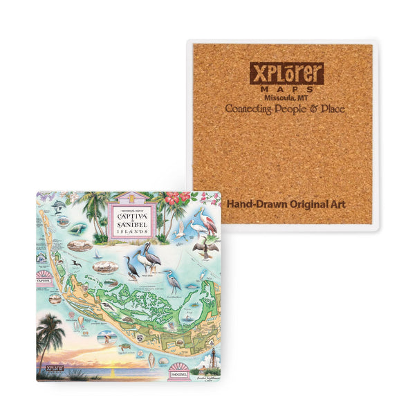
Sanibel & Captiva Islands Map Ceramic Coasters
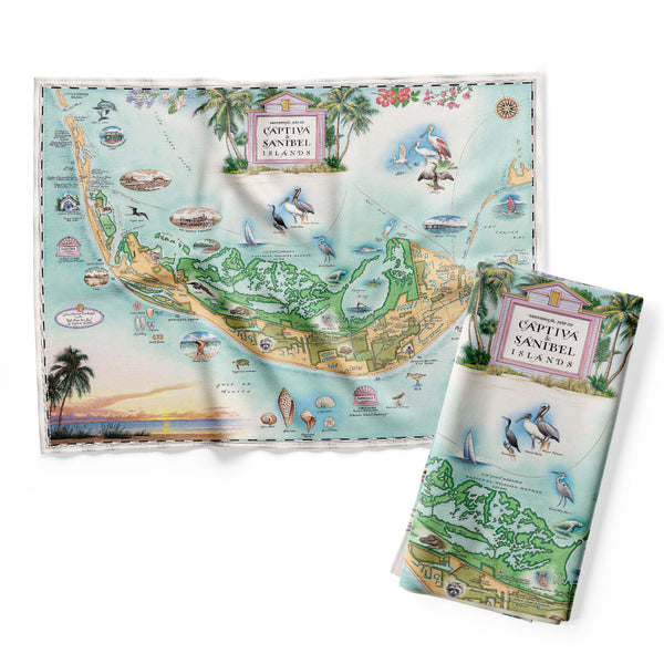
Sanibel & Captiva Islands Map Kitchen Towel
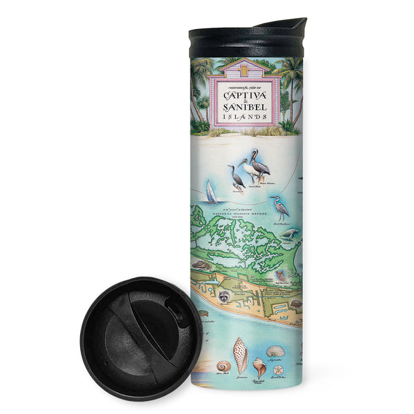
Sanibel & Captiva Islands Map Travel Drinkware
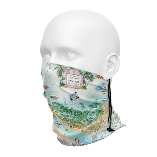
Sanibel & Captiva Islands Map Neck Gaiters
Sanibel & Captiva Islands Map Wood Puzzle
Sanibel & Captiva Islands Map Wood Sign