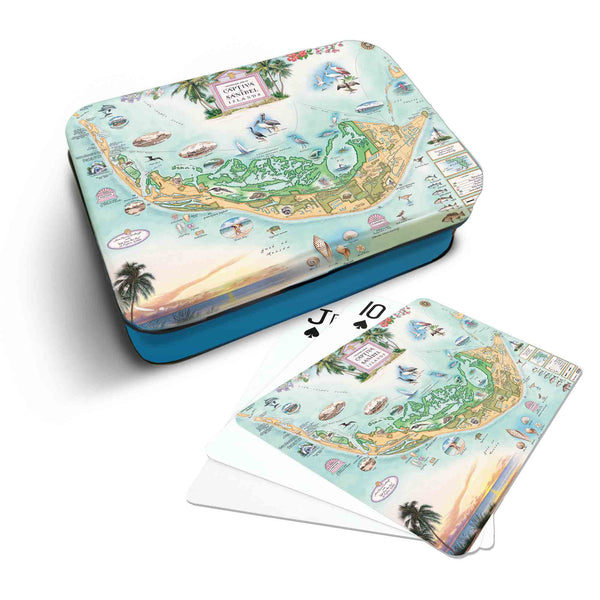
Sanibel & Captiva Islands
Discover the beauty of Sanibel and Captiva Islands with our hand-drawn map and gifts by Chris Robitaille. Originally inhabited by the Calusa Indians, these barrier islands were separated over 1,000 years ago by a powerful storm that created Blind Pass.
Before the Sanibel Causeway was completed in 1963, visitors arrived by ferry, reinforcing the islands’ reputation as a tropical sanctuary. Jay Norwood “Ding” Darling, a renowned conservationist, played a pivotal role in establishing the J.N. “Ding” Darling National Wildlife Refuge in 1945. This protected area now shelters over 300 bird species, 50 reptiles and amphibians, and more than 30 mammals, making it a haven for wildlife enthusiasts and nature lovers. Perfect for keepsakes or gifts, every purchase supports conservation efforts and the preservation of our public lands.