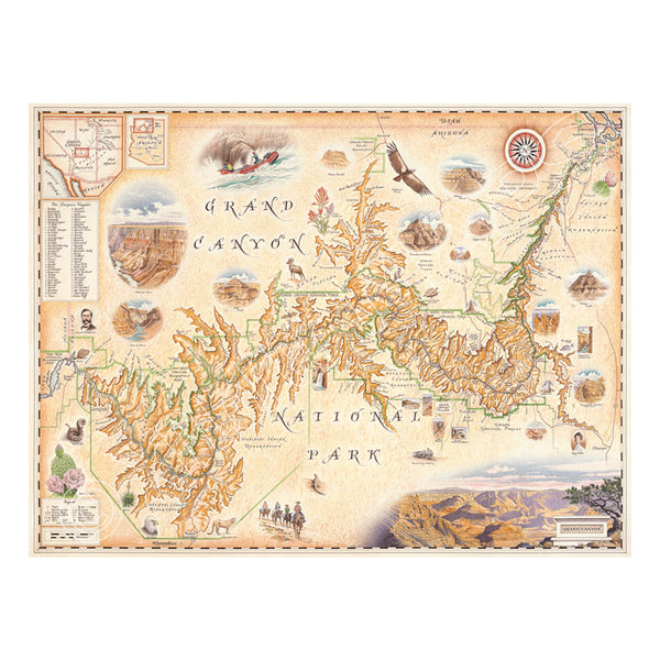
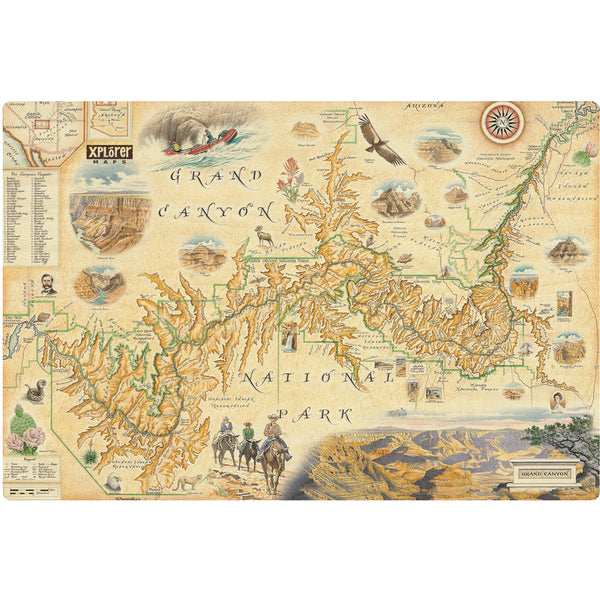
Grand Canyon National Park Hand-Drawn Map
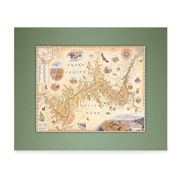
Grand Canyon National Park Mini-Map
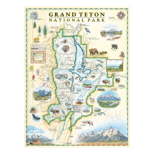
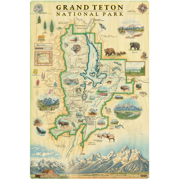
Grand Teton National Park Hand-Drawn Map
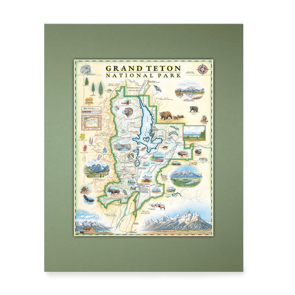
Grand Teton National Park Mini-Map
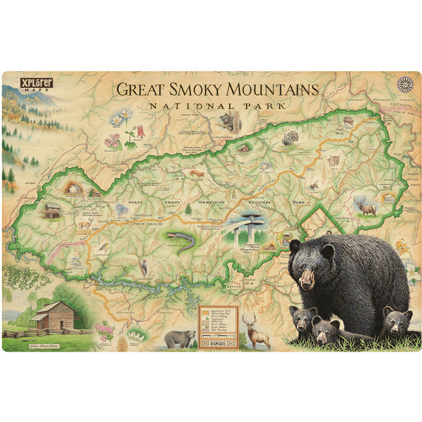
Great Smoky Mountain National Park Map Wood Sign
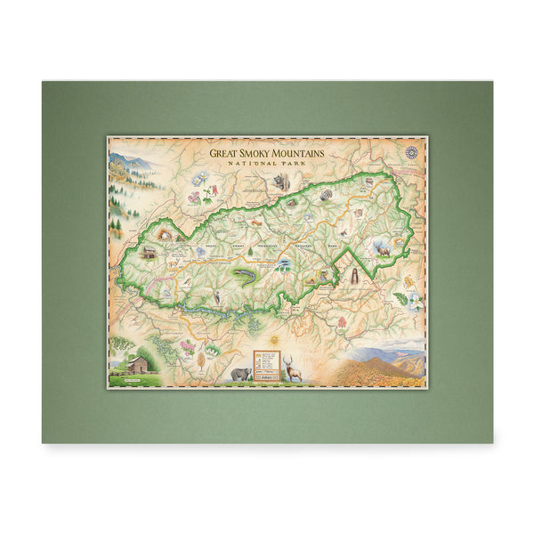
Great Smoky Mountain National Park Mini-Map
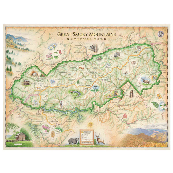
Great Smoky Mountains National Park Hand-Drawn Map
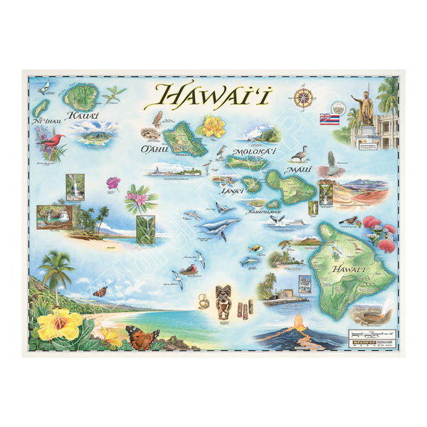
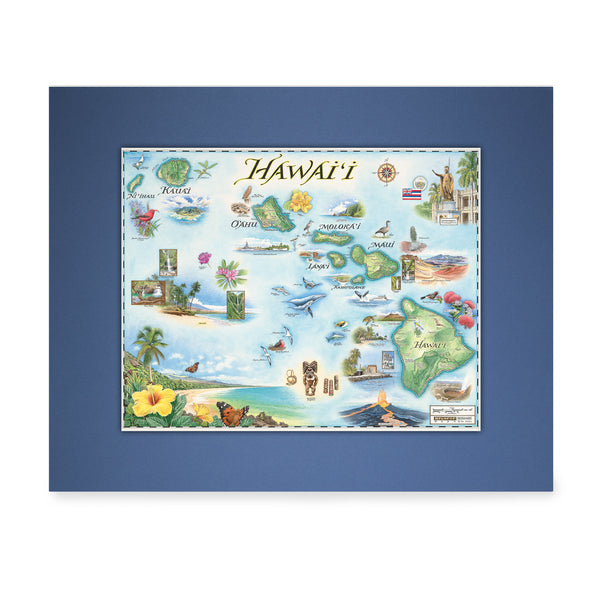
Hawai'i State Hand-Drawn Map
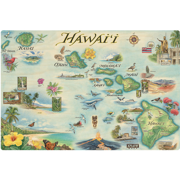
Hawai'i State Map Wood Sign