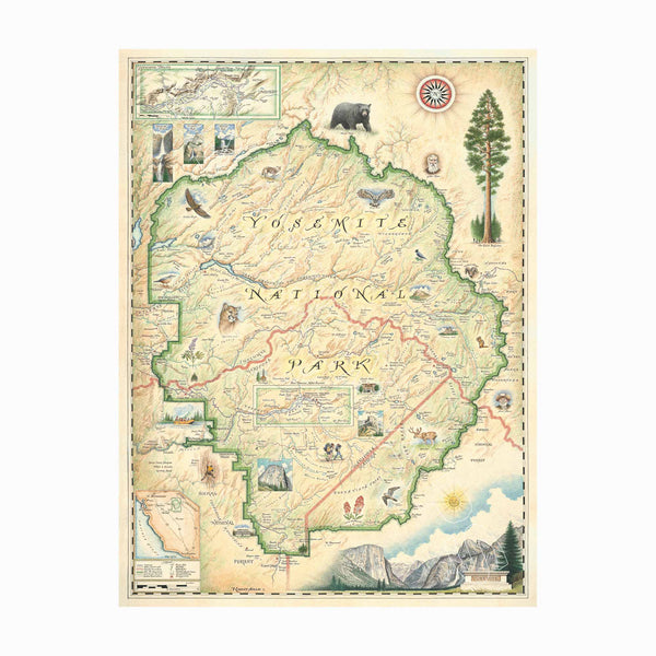
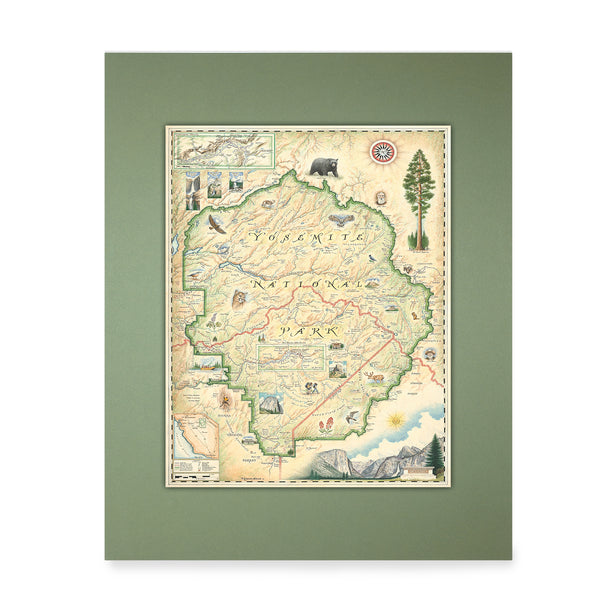
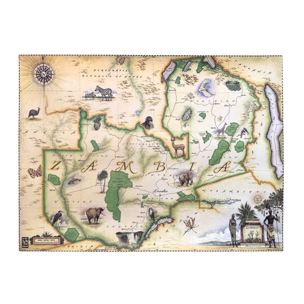
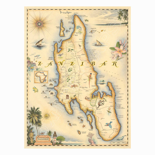
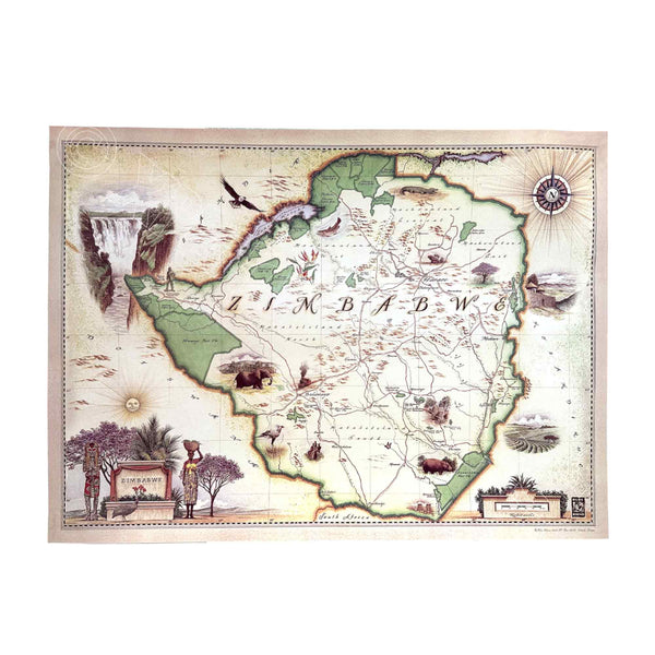
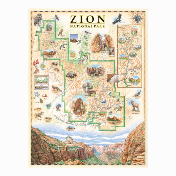
Original Hand-Drawn Story Maps Collections

Bring a piece of art and adventure into your space with Xplorer Maps' original hand-drawn story maps. These high-quality lithographic prints are created using eco-friendly, sustainable materials, ensuring vibrant colors and intricate details that showcase the beauty of each destination.

  • High-Quality Lithographic Prints: Produced on heavy-duty, 80 lb. cover stock for durability and visual impact.
  • Eco-Friendly Materials: Printed with soy-based inks and 50% post-consumer materials, reducing our environmental footprint.
  • Sustainable Production: Designed to support sustainability with environmentally conscious practices.

Hand-drawn map of Rocky Mountain National Park in earth tones, featuring Trail Ridge Road, Mount Ganby, Estes Park, and Alpine Visitor Center illustrations. Flora and fauna like bobcat, snowshoe hare, Indian paintbrush, and wild rose depicted. Measures 18x24 inches.
1
Rocky Mountain National Park Hand-Drawn Map
Price
From $29.99
Rocky Mountain National Park Map Hand-Drawn Mini Map by Xplorer Maps in earth tones, green and beige. The map features illustrations of places like Trail Ridge Road, Mount Ganby, Estes Park, and the Alpine Visitor Center. Flora and fauna include bobcats, snowshoe hares, Indian paintbrushes, and wild roses.
Rocky Mountain National Park Mini-Map
Price
$24.99
Roosevelt's USA Conservation Legacy hand-drawn map in earth tones beige and green. The map features the United States of America with significant features of each state. Some illustrations include Mesa Verde National Park in Colorado, Campobello in Maine, Mount Rushmore, and Grand Canyon National Park. The map is numbered with corresponding explanations of places featured on the map. Measures 24x18."
Roosevelt's USA Conservation Legacy Hand-Drawn Map
Price
From $29.99
San Francisco Bay hand-drawn map in earth tones of beige, green, and blue earth tones. The map features illustrations of places such as Candlestick Park, Fisherman's Wharf, Transamerica Pyramid, and Alcatraz Island. Flora and fauna include octopus, crab, palm trees, and a dahlia. Measures 18x24."
San Francisco Bay Hand-Drawn Map
Price
From $29.99
San Francisco Bay Mini-Map by Xplorer Maps in earth tones of beige, green, and blue earth tones. The map features illustrations of places such as Candlestick Park, Fisherman's Wharf, Transamerica Pyramid, and Alcatraz Island. Flora and fauna include octopus, crab, palm trees, and a dahlia.
San Francisco Bay Mini-Map
Price
$24.99
The San Juan Islands hand-drawn map in earth tones blue and green. The map features illustrations of places such as San Juan Vineyard, Turtleback Mountain Reserve, Liv Winery, and Roche Harbor. Flora and fauna include Orca Whale, Puffin, Herron, camas flower, and rhododendron. Measures 24x18."
1
San Juan Islands Hand-Drawn Map
Price
From $29.99
San Juan Islands Mini-Map by Xplorer Maps in earth tones blue and green. The map features illustrations of places such as San Juan Vineyard, Turtleback Mountain Reserve, Liv Winery, and Roche Harbor. Flora and fauna include Orca Whale, Puffin, Herron, camas flower, and rhododendron.
San Juan Islands Mini-Map
Price
$24.99
Sanibel & Captiva Islands Hand-Drawn Map in blue, green, and beige earth tones. The map features illustrations of places such as Ding Darling Wildlife Sanctuary, Bailey-Matthews Shell Museum, and Sanibel Lighthouse. Flora and fauna include the Loggerhead sea turtle, Manatee, and Great Blue Heron. Many other birds and sea animals are illustrated. Measures 24x18."
7
Sanibel & Captiva Islands Hand-Drawn Map
Price
From $29.99
Florida's Sanibel & Captiva Islands Mini-Map in blue, green, and beige earth tones. The map features illustrations of places such as Ding Darling Wildlife Sanctuary, Bailey-Matthews Shell Museum, and Sanibel Lighthouse. Flora and fauna include the Loggerhead sea turtle, Manatee, and Great Blue Heron. Many other birds and sea animals are illustrated.
Sanibel & Captiva Islands Mini-Map
Price
$24.99