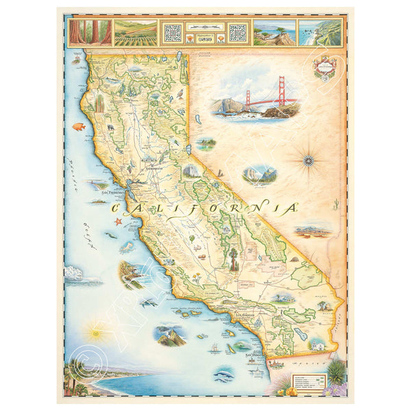
California State Hand-Drawn Map
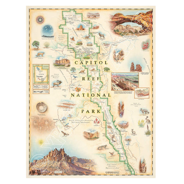
Capitol Reef National Park Hand-Drawn Map
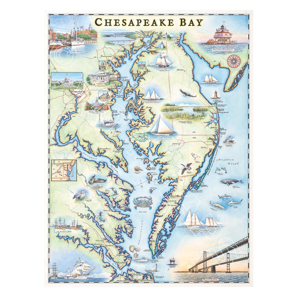
Chesapeake Bay Hand-Drawn Map
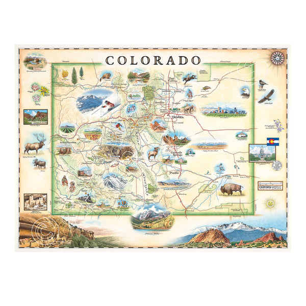
Colorado State Hand-Drawn Map
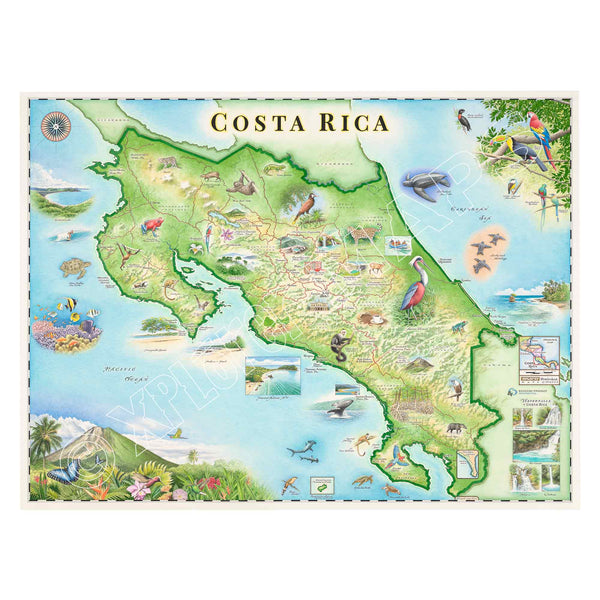
Costa Rica Hand-Drawn Map
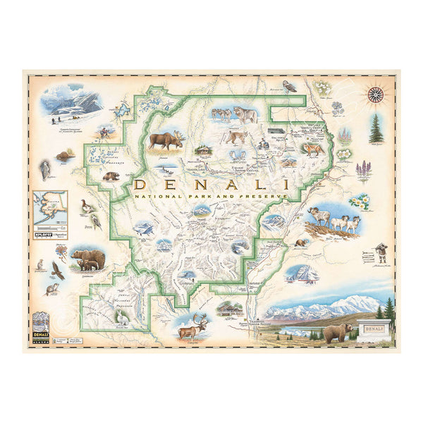
Denali National Park & Preserve Hand-Drawn Map
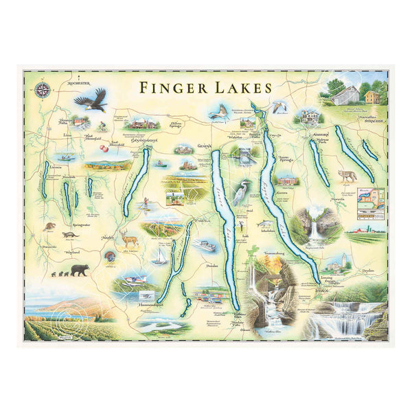
Finger Lakes Hand-Drawn Map
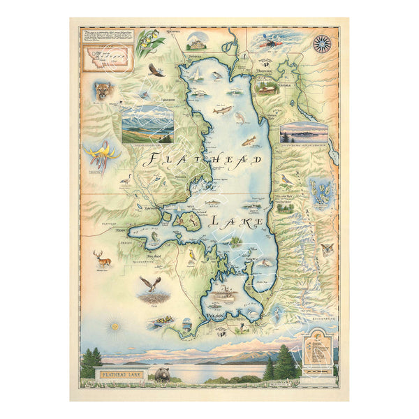
Flathead Lake Hand-Drawn Map
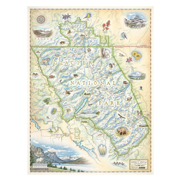
Glacier National Park Hand-Drawn Map
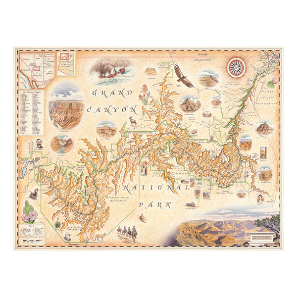
Grand Canyon National Park Hand-Drawn Map