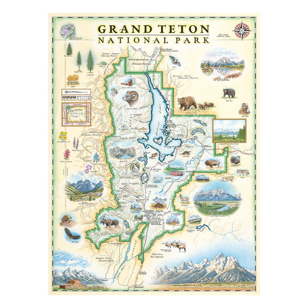
Grand Teton National Park Hand-Drawn Map
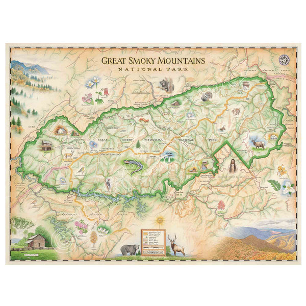
Great Smoky Mountains National Park Hand-Drawn Map
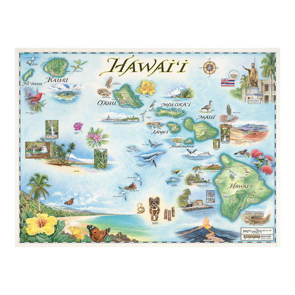
Hawai'i State Hand-Drawn Map
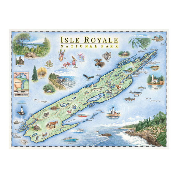
Isle Royale National Park Hand-Drawn Map
Kentucky State Hand-Drawn Map
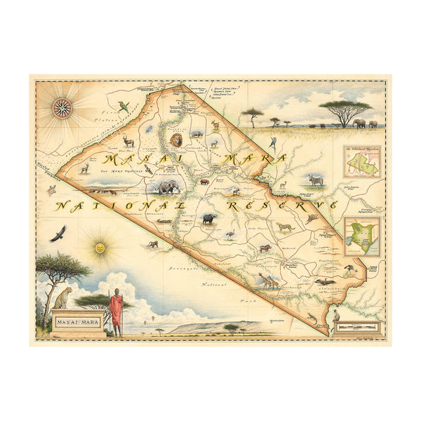
Kenya's Masai Mara National Reserve Hand-Drawn Map
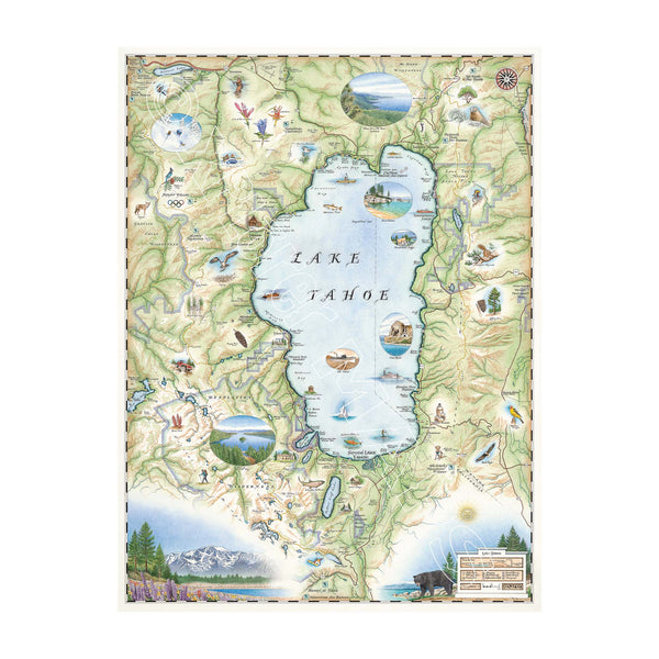
Lake Tahoe Hand-Drawn Map
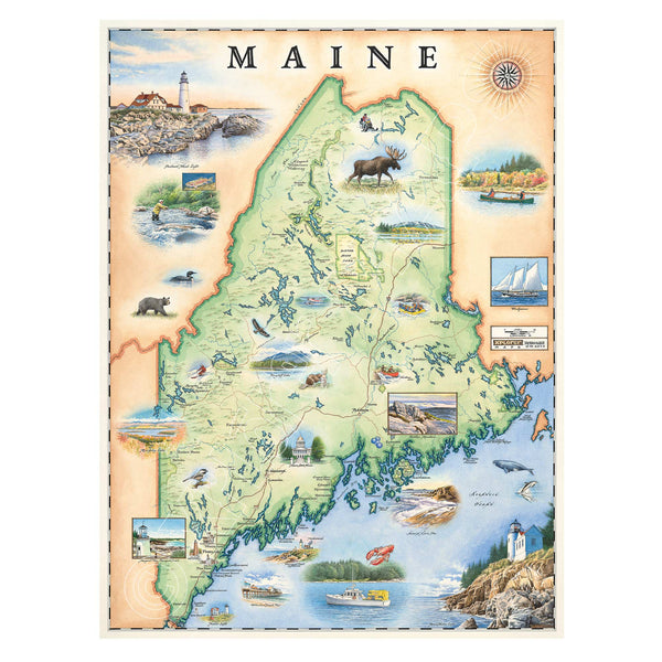
Maine State Hand-Drawn Map
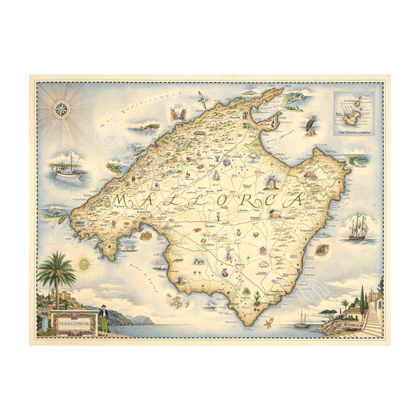
Mallorca Island Hand-Drawn Map
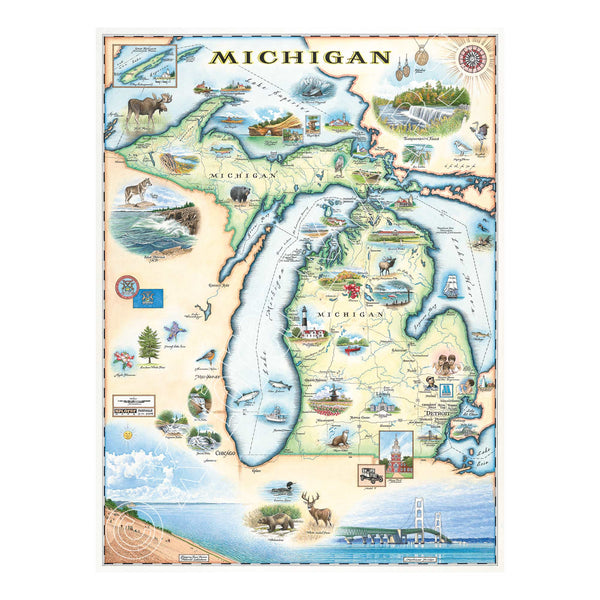
Michigan State Hand-Drawn Map
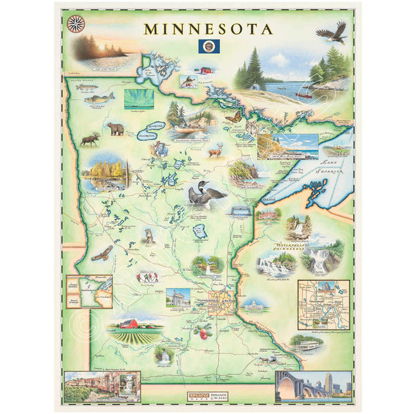
Minnesota State Hand-Drawn Map