Wall Art

Bring adventure to your space with hand-illustrated maps by Chris Robitaille. Our Wall Art Collection includes Story Maps, Mini Maps, and Wood Signs, each capturing the beauty of iconic destinations.

Story Maps

Intricate, hand-drawn maps of national parks and iconic places, printed on durable, eco-friendly 80 lb. cover stock. Perfect for living rooms, offices, or any space in need of a focal point.

Wood Signs

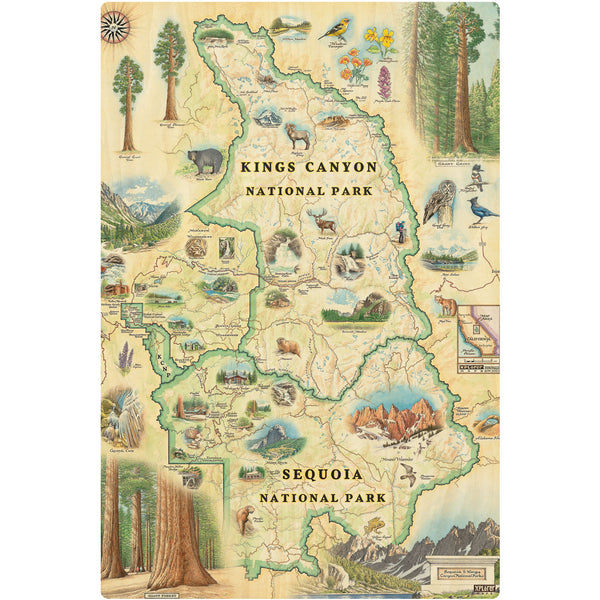
Rustic wood signs, engraved with Chris Robitaille’s artwork. Made in the USA, pre-drilled for easy hanging. Ideal for cabins, kitchens, or entryways.

Mini Maps

Compact versions of our Story Maps, pre-matted and frame-ready. These 10" x 8" prints are perfect for smaller spaces or gifting.

Michigan wood sign
Michigan Wood Sign
Price
$12.99
Hand-drawn Minnesota State Map in earth-tone colors of greens, blues, and tans.. This 18x24" print showcases key landmarks including waterfalls, Lake Superior, Lake in the Woods, Split Rock Lighthouse, Paul Bunyan, Itasca State Park, and the capitol building. The design also features local wildlife like bears, moose, and loons, capturing the essence of Minnesota's diverse landscapes.
Minnesota State Hand-Drawn Map
Price
From $29.99
This Lithographic Map Art Print features a hand-illustrated map of Montana. Original hand-drawn pen and ink/watercolor artwork by Chris Robitaille of Xplorer Maps. The map is featuring Sacajawea, Lewis & Clark, Yellowstone, Glacier National Park, Flathead Lake, Missoula, Bozeman, Helena, and Whitefish. The Big Sky State Map is 24" wide by 18" tall.
4
Montana State Hand-Drawn Map
Price
From $29.99
Montana State Mini-Map by Xplorer Maps. The map features Sacajawea, Lewis & Clark, Yellowstone, Glacier National Park, Flathead Lake, grizzly bear, bald eagle, and elk. Cities like Missoula, Bozeman, Helena, and Whitefish are included in the print.
Montana State Mini-Map
Price
$24.99
Montana Wood Sign
Montana Wood Sign
Price
$12.99
Monterey Bay Hand-Drawn Map
Price
From $29.99
New Hampshire State Hand-Drawn Map in earth tones beige and green. The map features illustrations of the Cog Railway, Crawford Notch, Portsmouth, moose, deer, and Mount Washington. Measures 18x24."
New Hampshire State Hand-Drawn Map
Price
From $29.99
New Hampshire State Mini-Maps by Xplorer Maps in earth tones beige and green. The map features illustrations of the Cog Railway, Crawford Notch, Portsmouth, moose, deer, and Mount Washington.
New Hampshire State Mini-Map
Price
$24.99
North Carolina State Hand-Drawn Map
Price
From $29.99